MyTopo
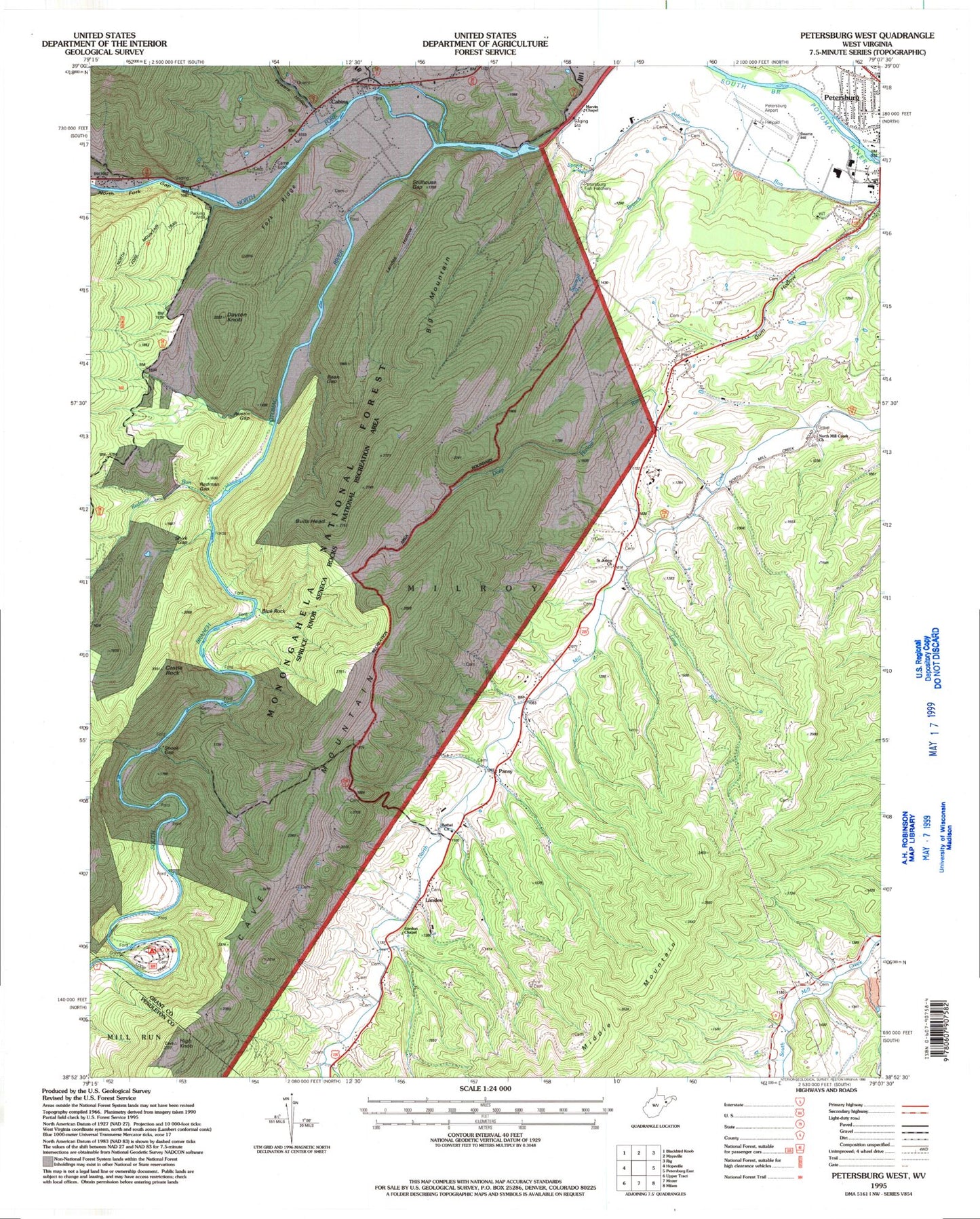
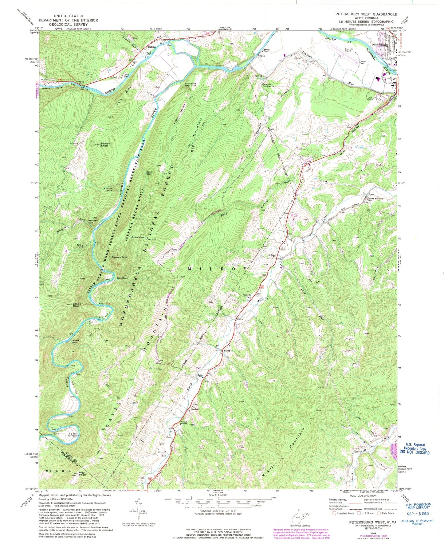
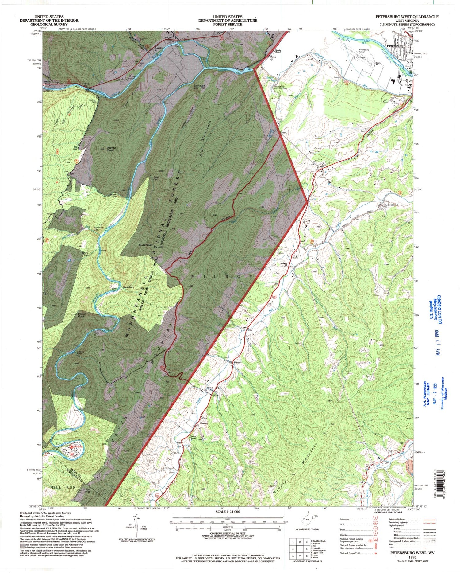
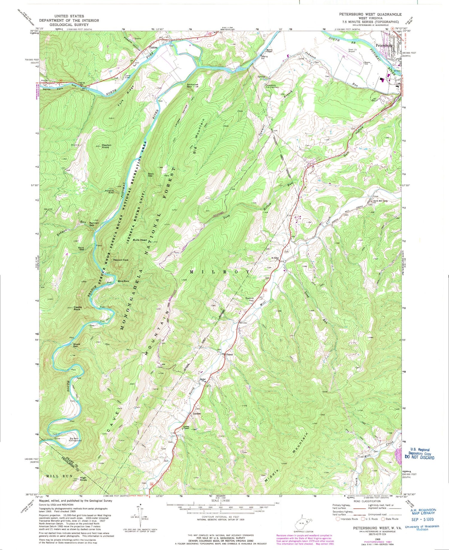
Classic USGS Petersburg West West Virginia 7.5'x7.5' Topo Map
Couldn't load pickup availability
Historical USGS topographic quad map of Petersburg West in the state of West Virginia. Typical map scale is 1:24,000, but may vary for certain years, if available. Print size: 24" x 27"
This quadrangle is in the following counties: Grant, Pendleton.
The map contains contour lines, roads, rivers, towns, and lakes. Printed on high-quality waterproof paper with UV fade-resistant inks, and shipped rolled.
Contains the following named places: Austin Gap, Bean Gap, Bethel Church, Big Bend Campground, Blue Rock, Bulls Head, Cabins, Camp Echo, Castle Rock, Dayton Knob, Deep Hollow Run, Fork Ridge, Gordon Chapel, High Knob, Landes Hollow, Long Run, Marvin Chapel, North Fork Gap, North Mill Creek Church, Pansy, Powers Hollow, Redman Gap, Redman Run, Saint Johns Church, Sawmill Branch, Shirk Gap, Shook Gap, Smoke Hole, Stillhouse Gap, North Fork South Branch Potomac River, North Fork Mountain Trail, Loop Trail, Big Mountain, Landes, Bulls Head, Edgewood School (historical), Fairview School (historical), Harmony School (historical), Ketterman School (historical), Mount Hope School (historical), Mountaindale School (historical), Royal Glen Mill (historical), Royal Glen School (historical), Shoock School (historical), Sites School (historical), Petersburg Fish Hatchery, Grant County Airport, Cold Spring, State Trout Hatchery Spring, Poor Farm Spring, Cabins Post Office, Cabin Schoolhouse (historical), Milroy District, City of Petersburg, North Fork Christian School, Believers Mennonite Faith Christian School, Hyers Rock Bridge, Moomau-Grant County Public Library, Petersburg Police Department


