MyTopo
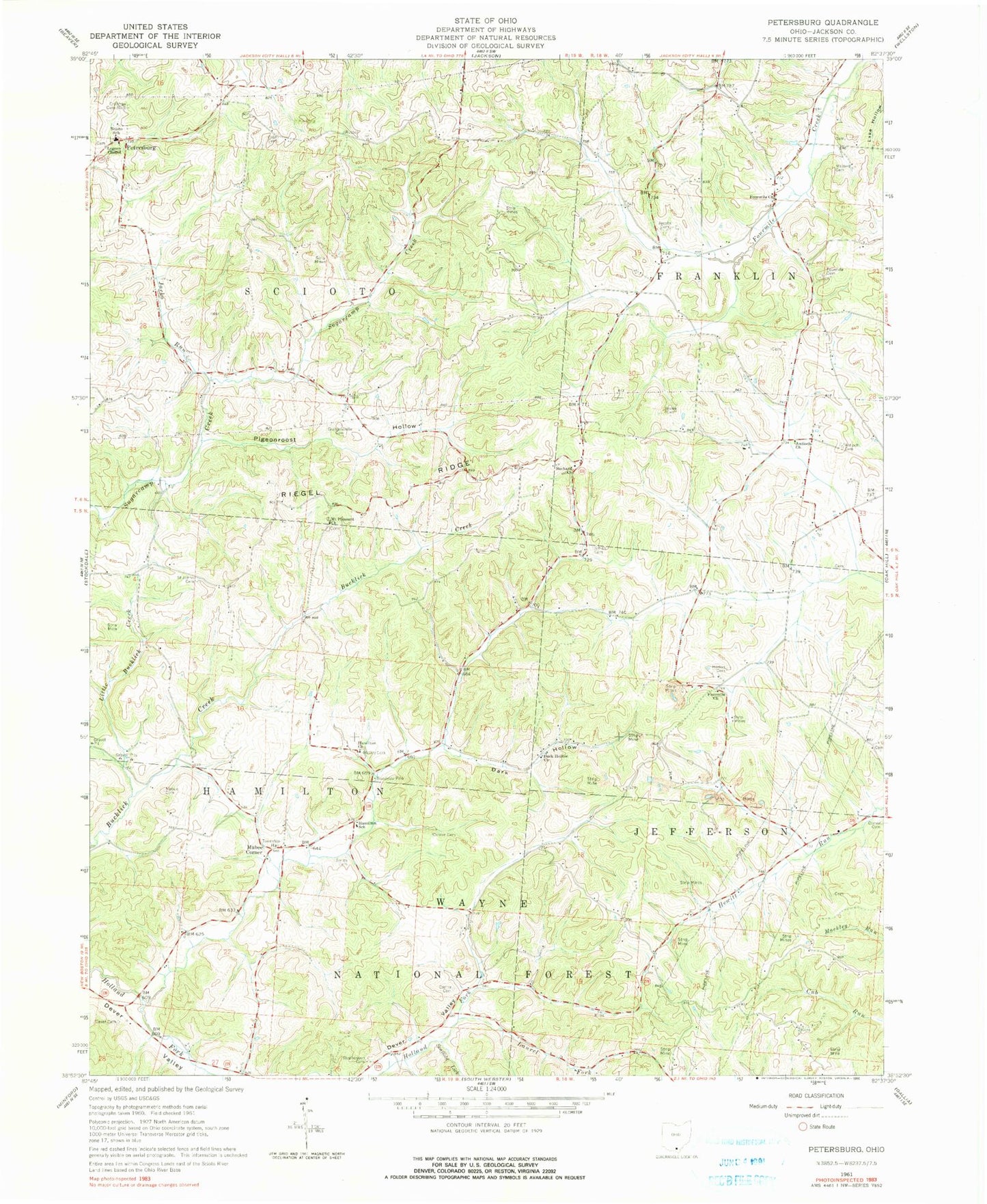
Classic USGS Petersburg Ohio 7.5'x7.5' Topo Map
Couldn't load pickup availability
Historical USGS topographic quad map of Petersburg in the state of Ohio. Map scale may vary for some years, but is generally around 1:24,000. Print size is approximately 24" x 27"
This quadrangle is in the following counties: Jackson.
The map contains contour lines, roads, rivers, towns, and lakes. Printed on high-quality waterproof paper with UV fade-resistant inks, and shipped rolled.
Contains the following named places: Antioch Cemetery, Antioch Church, Bethany Church, Brown Cemetery, Canter Cemetery, Comer Cemetery, Crabtree Cemetery Number 1, Culp Cemetery, Dark Hollow, Dark Hollow Church, Dever Cemetery, Four Mile, Fourmile Cemetery, Fourmile Church, Grahamsville, Grahamsville Cemetery, Grahamsville Post Office, Hamilton Christian Church, Hamilton School, Hamilton Township Volunteer Fire and Rescue, Horton Cemetery, Jacko Run, Jacobs Cemetery, Laurel Fork, Little Bucklick Creek, Lumen Chapel, Mabee Cemetery, Mabee Corner, Masters Cemetery, McCoy, McCoy Cemetery, McCoy Grove, Mount Pleasant Church, Petersburg, Pigeonroost Hollow, Riegel Ridge, Russ Airport, Saint Johns Cemetery, Saint Johns Church, Scaffold Lick, Scioto Elementary School, Scioto Township Volunteer Fire Department, Smith Cemetery, Stephenson Cemetery, Township of Hamilton, Township of Jefferson, Township of Scioto