MyTopo
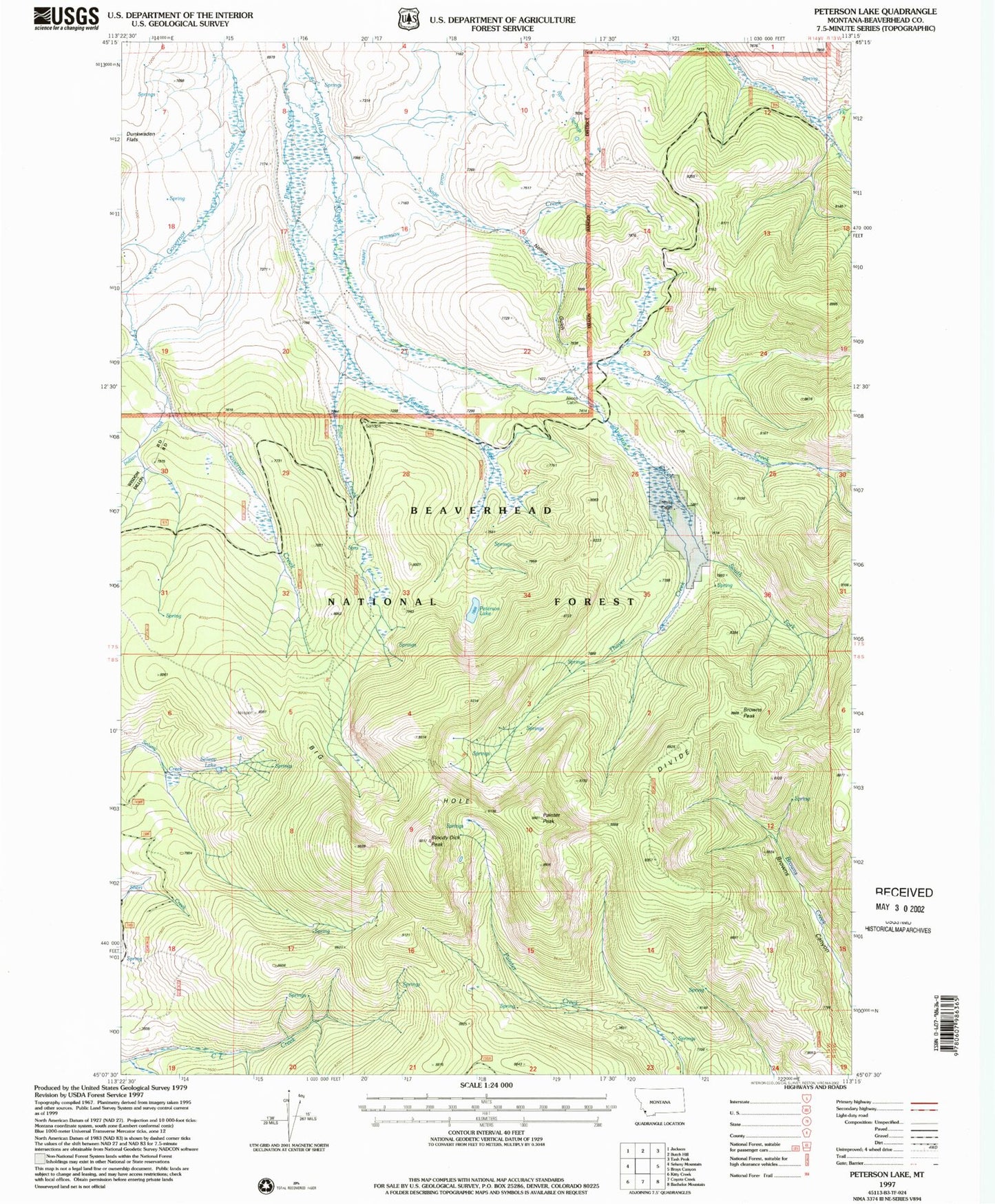
Classic USGS Peterson Lake Montana 7.5'x7.5' Topo Map
Couldn't load pickup availability
Historical USGS topographic quad map of Peterson Lake in the state of Montana. Typical map scale is 1:24,000, but may vary for certain years, if available. Print size: 24" x 27"
This quadrangle is in the following counties: Beaverhead.
The map contains contour lines, roads, rivers, towns, and lakes. Printed on high-quality waterproof paper with UV fade-resistant inks, and shipped rolled.
Contains the following named places: Pine Creek, Alice Cabin, Bailey Creek, Big Hole Divide, Bloody Dick Peak, Browns Peak, Inabnit Peterson Ditch, Indian Creek, Nellies Gulch, North Fork Fox Creek, Painter Peak, Peterson Creek, Peterson Lake, Ryan Springs, Selway Lake, South Fork Andrus Creek, South Fork Fox Creek, Thayer Cabin, Thayer Creek