MyTopo
Classic USGS Peterson West Virginia 7.5'x7.5' Topo Map
Couldn't load pickup availability
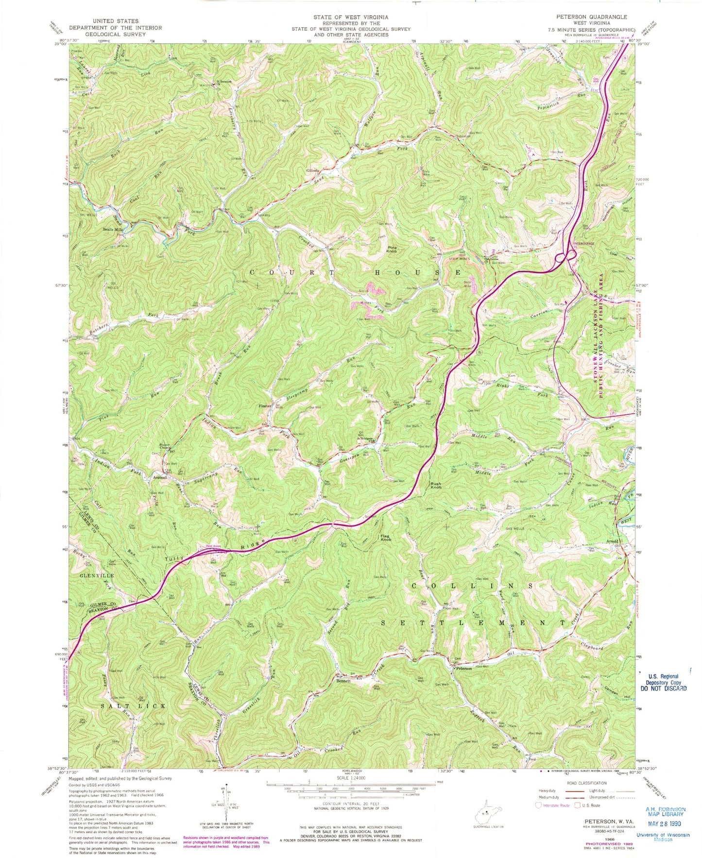
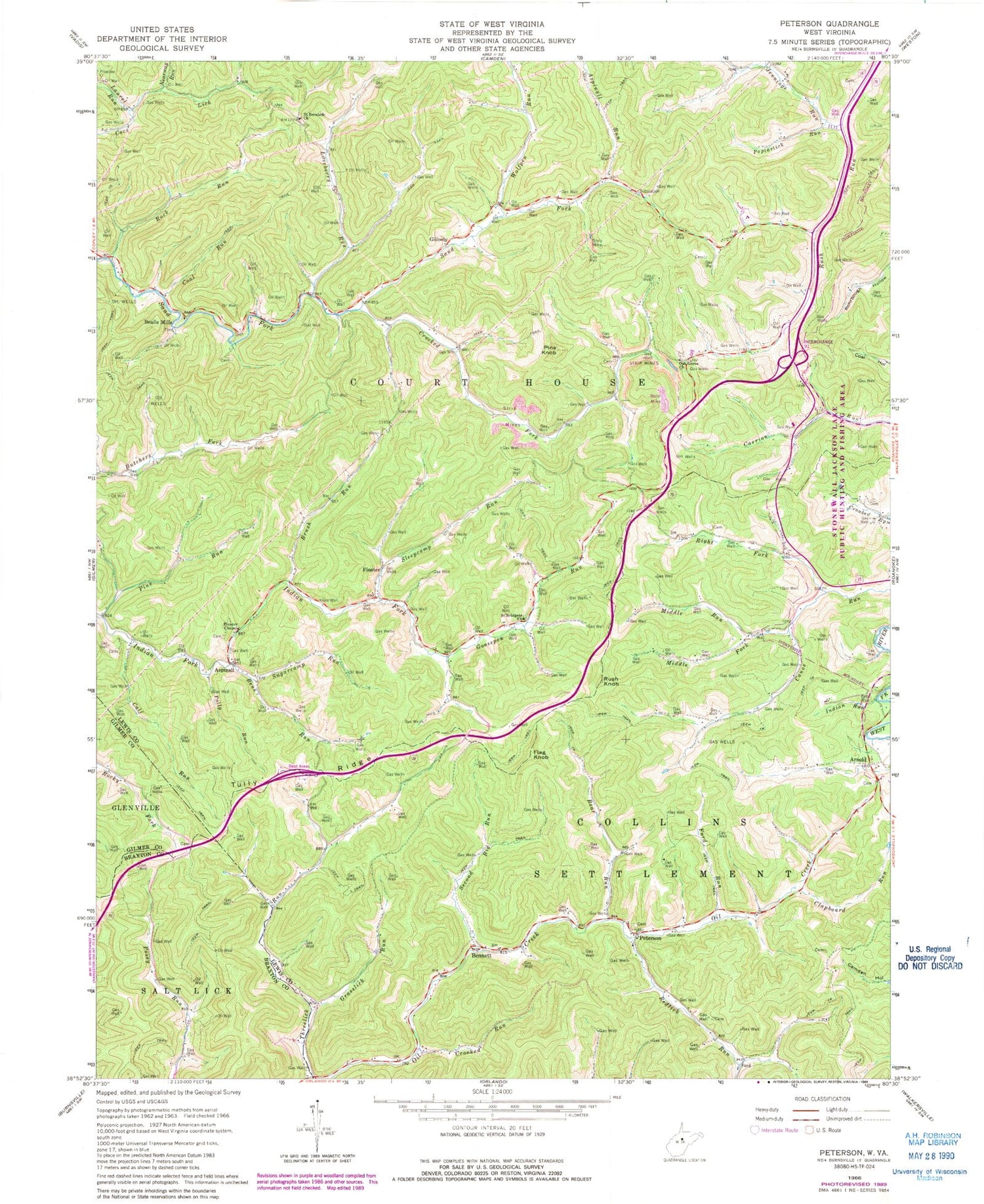
Historical USGS topographic quad map of Peterson in the state of West Virginia. Map scale may vary for some years, but is generally around 1:24,000. Print size is approximately 24" x 27"
This quadrangle is in the following counties: Braxton, Gilmer, Lewis.
The map contains contour lines, roads, rivers, towns, and lakes. Printed on high-quality waterproof paper with UV fade-resistant inks, and shipped rolled.
Contains the following named places: Arnold, Aspinall, Aspinall Run, Bealls Mills, Bear Run, Bennett, Bens Run, Brush Run, Calf Run, Clapboard Run, Coal Run, Courthouse-Collins Settlement District, Crooked Fork, Crooked Run, Finster, Finster Chapel, Flag Knob, Flusher School, Ford Run, Gillooly, Goosepen Run, Goosepen School, Grasslick Run, Heavner Spring, Indian Run, Jennings Run, Laurel Run, Lewis County, Loveberry Run, Middle Fork Canoe Run, Middle Run, Nearway Run, Oak Grove Church, Oak Grove School, Peterson, Pine Knob, Pine Run, Pine Run School, Polly Run, Poplarlick Run, Raccoon Run, Redlick Run, Redlick School, Rhodes Cemetery, Right Fork Canoe Run, Roanoke Elementary School, Rock Run, Rush Knob, Saint Bernard Cemetery, Saint Bernards Church, Saint Bernards School, Saint Bridgets Church, Second Big Run, Sleepcamp Run, Sugarcamp Run, Threelick School, Tully Ridge, Ward School, White Doll School, Wolfpen Run, Wyant School


