MyTopo
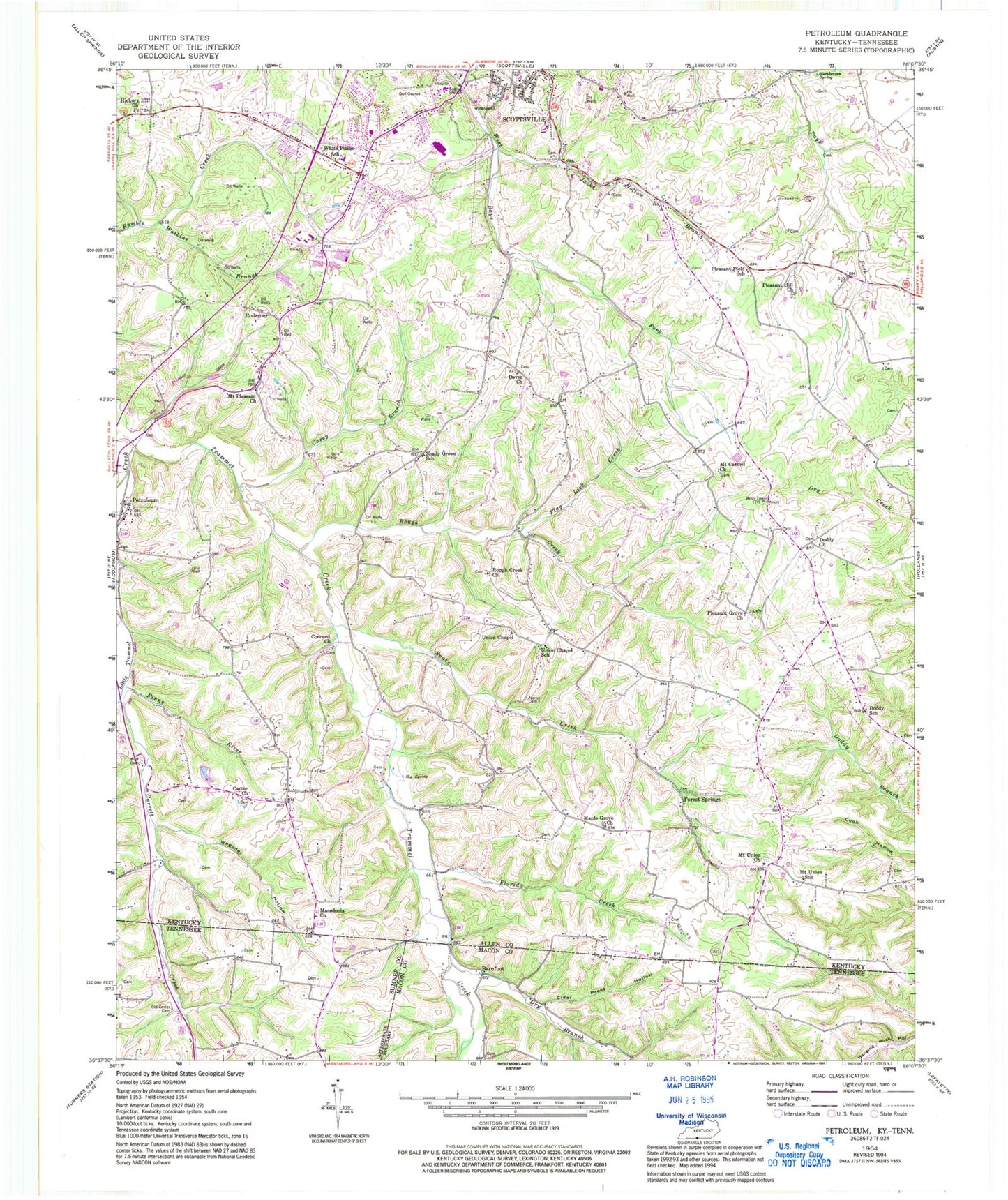
Classic USGS Petroleum Kentucky 7.5'x7.5' Topo Map
Couldn't load pickup availability
Historical USGS topographic quad map of Petroleum in the states of Kentucky, Tennessee. Map scale may vary for some years, but is generally around 1:24,000. Print size is approximately 24" x 27"
This quadrangle is in the following counties: Allen, Macon, Sumner.
The map contains contour lines, roads, rivers, towns, and lakes. Printed on high-quality waterproof paper with UV fade-resistant inks, and shipped rolled.
Contains the following named places: Allen County Ambulance Service, Allen County Sheriff's Office, Barefoot, Carters Tabernacle Church of God, Casey Branch, Cider Press Hollow, Concord United Methodist Church, Doddy Church, Doddy School, Dover Missionary Baptist Church, Dry Branch, Finns River, Flag Lick Creek, Florida Creek, Forest Springs, Forest Springs Post Office, Garrett Creek, Hickory Hill Church, Jacks Hollowk Branch, Little Trammel Creek, Macedonia Baptist Church, Maple Grove Church, Maple Grove General Baptist Church, Mount Carmel Church, Mount Pleasant United Methodist Church, Mount Union, Mount Union School, Mount Union United Methodist Church, Nancy Cemetery, Old Carter Cemetery, Petroleum, Pleasant Field School, Pleasant Grove Church, Pleasant Hill Church, Rodemer, Rough Creek, Rough Creek Church, Scottsville Division, Scottsville Fire Department Station 2, Scottsville Police Department, Shady Grove School, Snake Creek, South Allen Fire Department, Steenbergen Spring, Union Chapel School, Union Chapel United Methodist Church, Wagoner Hollow, Walnut Grove, Watkins Branch, White Plains, White Plains School, WLCK-AM (Scottsville), Wolfe Cemetery, WVLE-FM (Scottsville)


