MyTopo
Classic USGS Petsch Reservoir Wyoming 7.5'x7.5' Topo Map
Regular price
$16.95
Regular price
Sale price
$16.95
Unit price
per
Couldn't load pickup availability
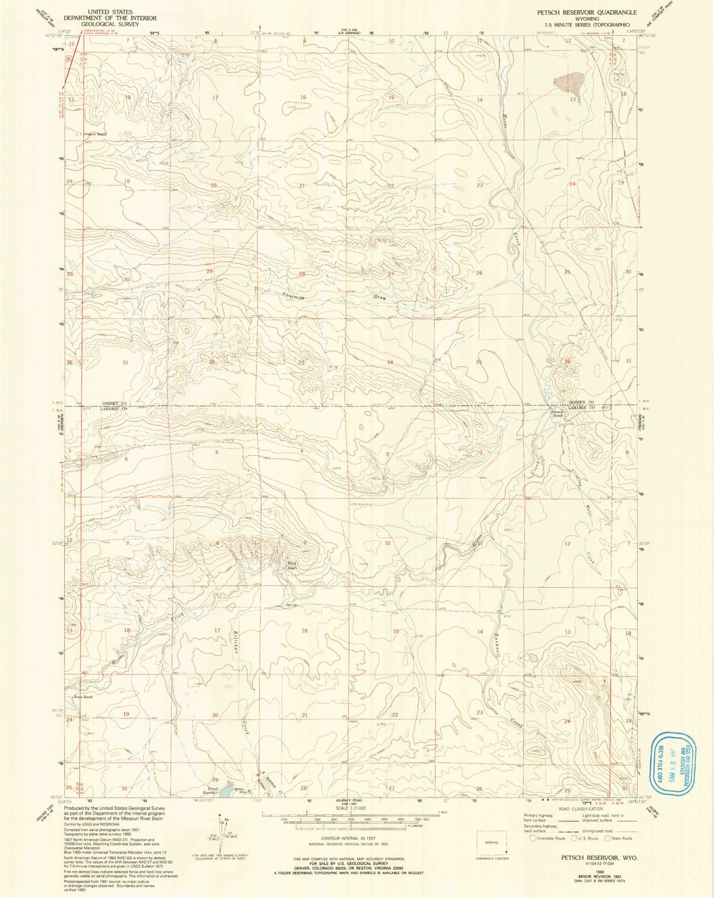
Historical USGS topographic quad map of Petsch Reservoir in the state of Wyoming. Map scale may vary for some years, but is generally around 1:24,000. Print size is approximately 24" x 27"
This quadrangle is in the following counties: Goshen, Laramie.
The map contains contour lines, roads, rivers, towns, and lakes. Printed on high-quality waterproof paper with UV fade-resistant inks, and shipped rolled.
Contains the following named places: Bushnell Creek, Coad Ditch, Crown Number 2 Dam, Crown Reservoir Number 2, Davis Ranch, East Kellehan Creek, Fourmile Draw, Gregory Ranch, Johnson Ranch, Kellehan Creek, Petsch Reservoir, Scoon Ranch, Stinking Water Creek, West Kellehan Creek