MyTopo
Classic USGS Pettigrew Arkansas 7.5'x7.5' Topo Map
Couldn't load pickup availability
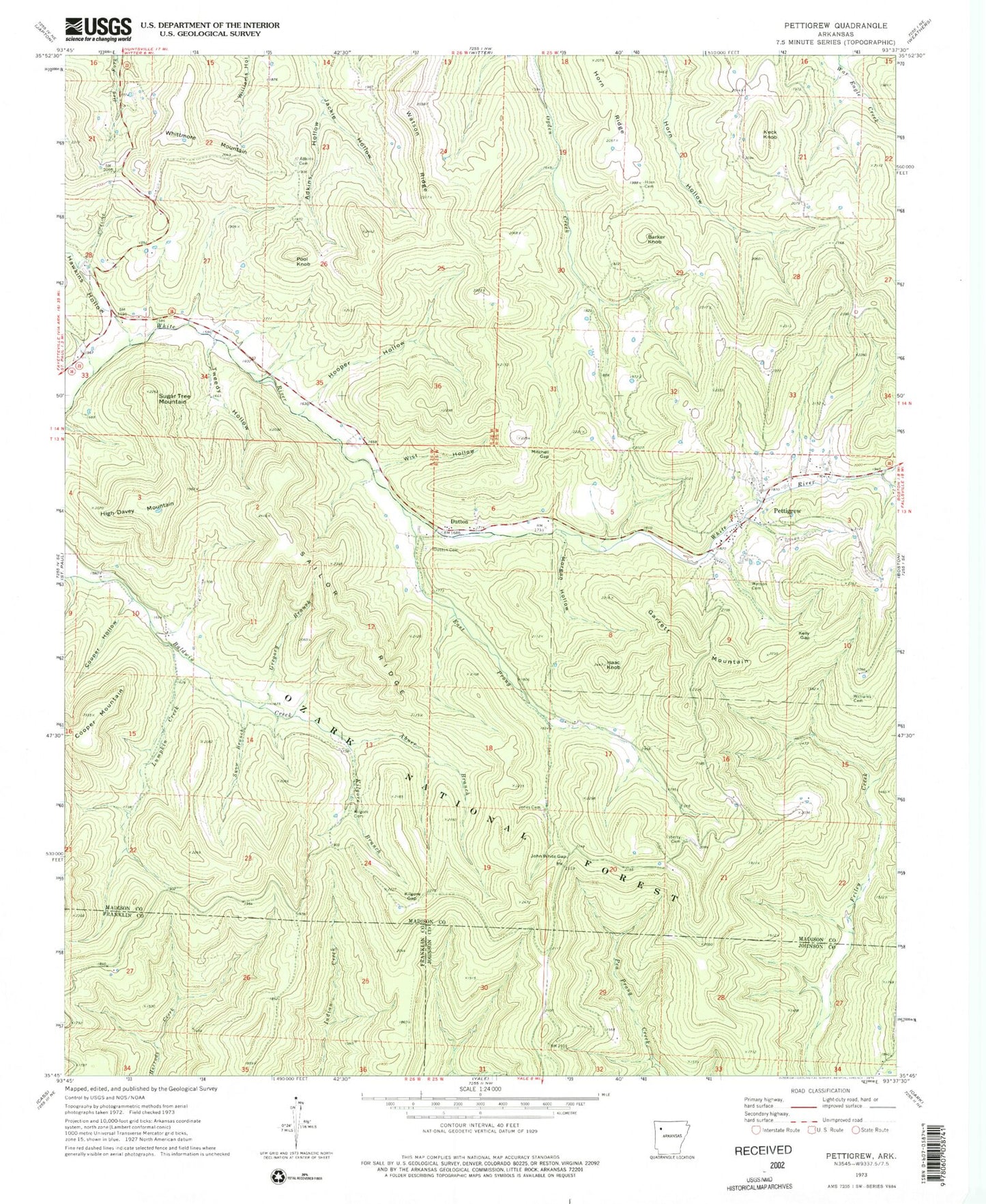
Historical USGS topographic quad map of Pettigrew in the state of Arkansas. Map scale may vary for some years, but is generally around 1:24,000. Print size is approximately 24" x 27"
This quadrangle is in the following counties: Franklin, Johnson, Madison.
The map contains contour lines, roads, rivers, towns, and lakes. Printed on high-quality waterproof paper with UV fade-resistant inks, and shipped rolled.
Contains the following named places: Abner Branch, Adkins Cemetery, Adkins Hollow, Barker Knob, Cooper Hollow, Dutton, Dutton Cemetery, East Prong White River, Garrett Mountain, Gregory Branch, Hawkins Hollow, High Davey Mountain, Hooper Hollow, Horn Cemetery, Horn Ridge, Isaac Knob, John White Gap, Jones Cemetery, Keck Knob, Kelly Gap, Kilgore Branch, Kilgore Cemetery, Kilgore Gap, Liberty Cemetery, Lumpkin Creek, Mitchell Gap, Morgan Hollow, Pettigrew, Pettigrew Post Office, Pool Knob, Sailor Ridge, Snow Branch, Sugar Tree Mountain, Township of Baldwin, Township of Hilburn, Township of Kentucky, Tweedy Hollow, Watson Cemetery, Watson Ridge, Whittmore Mountain, Williams Cemetery, Wist Hollow, ZIP Code: 72760


