MyTopo
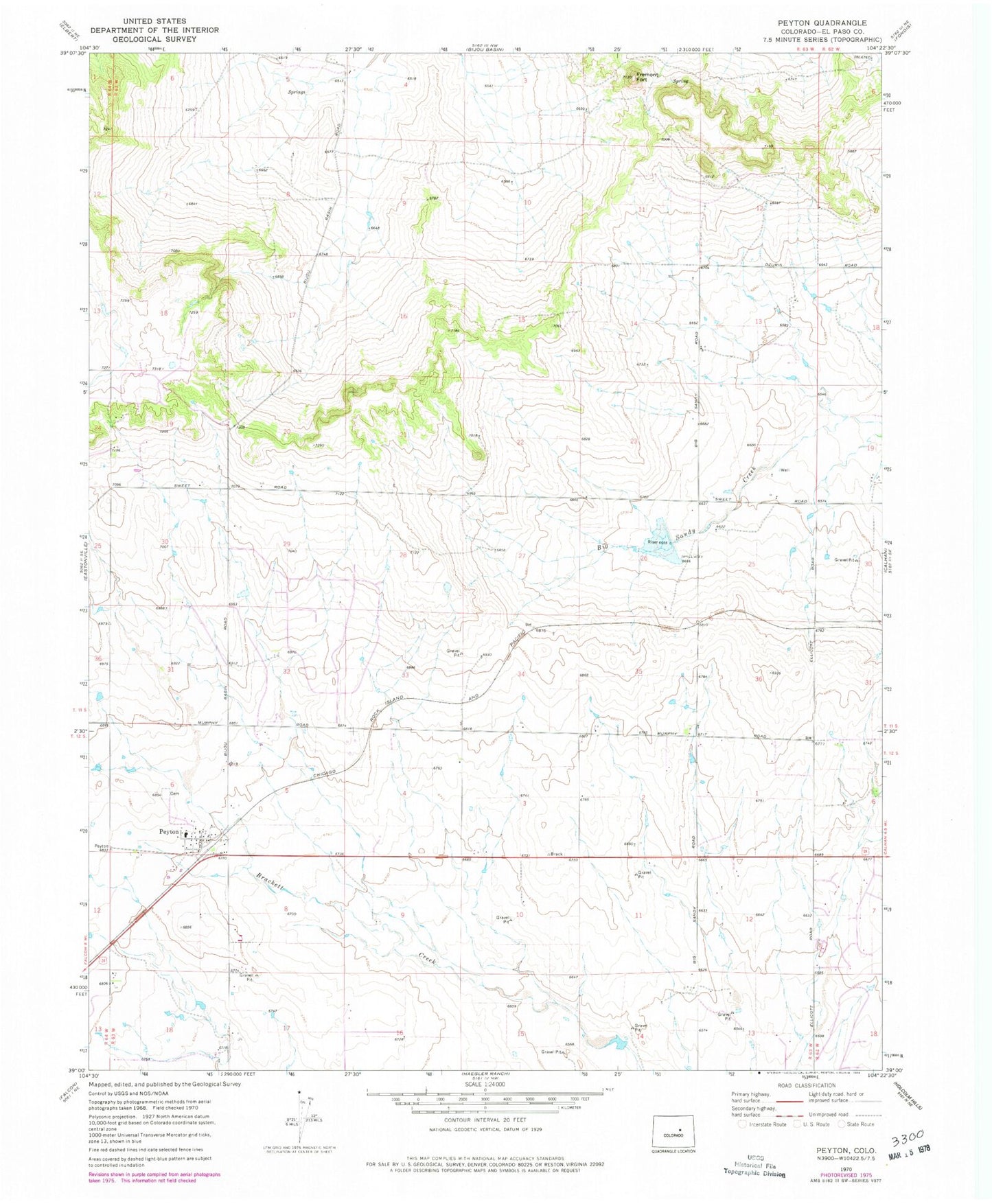
Classic USGS Peyton Colorado 7.5'x7.5' Topo Map
Couldn't load pickup availability
Historical USGS topographic quad map of Peyton in the state of Colorado. Map scale may vary for some years, but is generally around 1:24,000. Print size is approximately 24" x 27"
This quadrangle is in the following counties: El Paso.
The map contains contour lines, roads, rivers, towns, and lakes. Printed on high-quality waterproof paper with UV fade-resistant inks, and shipped rolled.
Contains the following named places: Big Sandy Creek Watershed S-1 Dam, Big Sandy Creek Watershed S-1 Reservoir, Bijou Springs Ranch Airport, Black Forest-Peyton Division, Combs Ranch Airport, Fremont Fort, J E McClelland Number 4 Dam, J E McClelland Reservoir Number 4, Peyton, Peyton Cemetery, Peyton Census Designated Place, Peyton Fire Protection District, Peyton Post Office