MyTopo
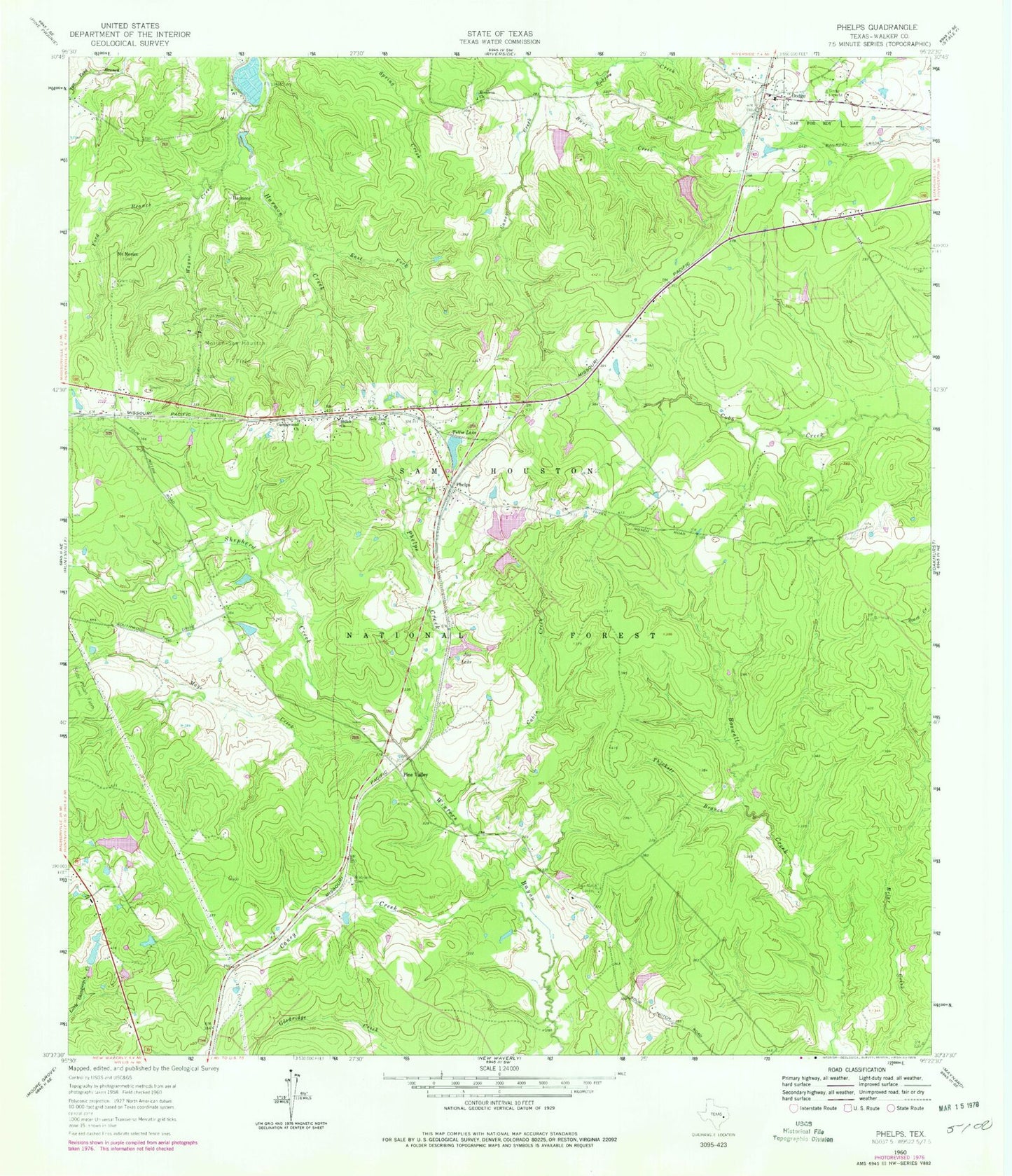
Classic USGS Phelps Texas 7.5'x7.5' Topo Map
Couldn't load pickup availability
Historical USGS topographic quad map of Phelps in the state of Texas. Typical map scale is 1:24,000, but may vary for certain years, if available. Print size: 24" x 27"
This quadrangle is in the following counties: Walker.
The map contains contour lines, roads, rivers, towns, and lakes. Printed on high-quality waterproof paper with UV fade-resistant inks, and shipped rolled.
Contains the following named places: Blackjack Cemetery, Burt Creek, Cabin Creek, Campground Church, Caney Creek, Dodge, Dodge Lookout, East Fork Harmon Creek, Everlena Church, Ford Branch, Four Notch Lookout, Grant Colony Cemetery, Harmony, Joy Lake, Mays Creek, Morian-Sam Houston Oil Field, Mount Morian, New Zion Church, Phelps, Phelps Creek, Pine Valley, Robins Creek, Shepherd Creek, Shiloh Church, Thickett Branch, Tillie Lake, Wayne Creek, Elder Creek, Lone Star Trail, Hatchery Lake Dam, Hatchery Lake, Tillie Lake Dam, Watson West Dam, Watson West Lake, Watson East Dam, Watson East Lake, Watson South Dam, Watson South Lake, Mitcham Lake Dam, Mitcham Lake, Maria Lake Dam, Maria Lake, McMillian Lake Dam, McMillian Lake, Green Loop Trail, Dodge Volunteer Fire Department, Dodge Post Office


