MyTopo
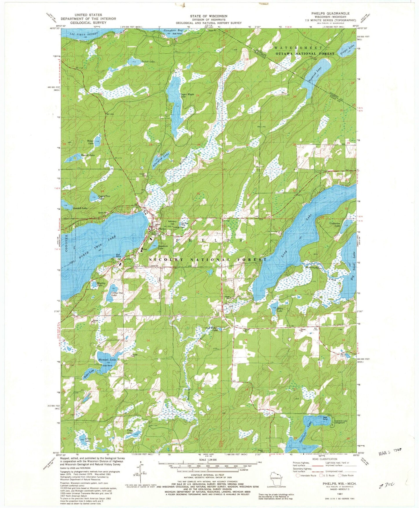
Classic USGS Phelps Wisconsin 7.5'x7.5' Topo Map
Couldn't load pickup availability
Historical USGS topographic quad map of Phelps in the states of Wisconsin, Michigan. Typical map scale is 1:24,000, but may vary for certain years, if available. Print size: 24" x 27"
This quadrangle is in the following counties: Gogebic, Vilas.
The map contains contour lines, roads, rivers, towns, and lakes. Printed on high-quality waterproof paper with UV fade-resistant inks, and shipped rolled.
Contains the following named places: Afterglow Lake, Baker Lake, Camp One Lake, Camp Two Lake, Catherine Lake, Ellen Lake, Goodall Lake, Lobischer Creek, Long Lake, Manuel Lake, Gross Lake, Military Hill, Military Creek, Muskeg Lake, Noseeum Lake, Phelps, Potfish Lake, Spectacle Lake, Stub Walsh Lake, Sugar Maple Lake, Thoroughfare Creek, Vista Lake, Warvet Lake, Weber Lake, Northwoods Hospital Heliport, Lac Vieux Desert Seaplane Base, Town of Phelps, Long-On-Deerskin 1909c361 Dam, Long and Big Sand Lakes 15, Spectacle Lake Campground, Burman School (historical), Military Hill Fire Tower, Phelps Volunteer Fire Department, Phelps Area Emergency Medical Services, Phelps High School, Phelps Elementary School, Phelps Post Office, Finger Lake, Lobischer Creek, Norwood Lake


