MyTopo
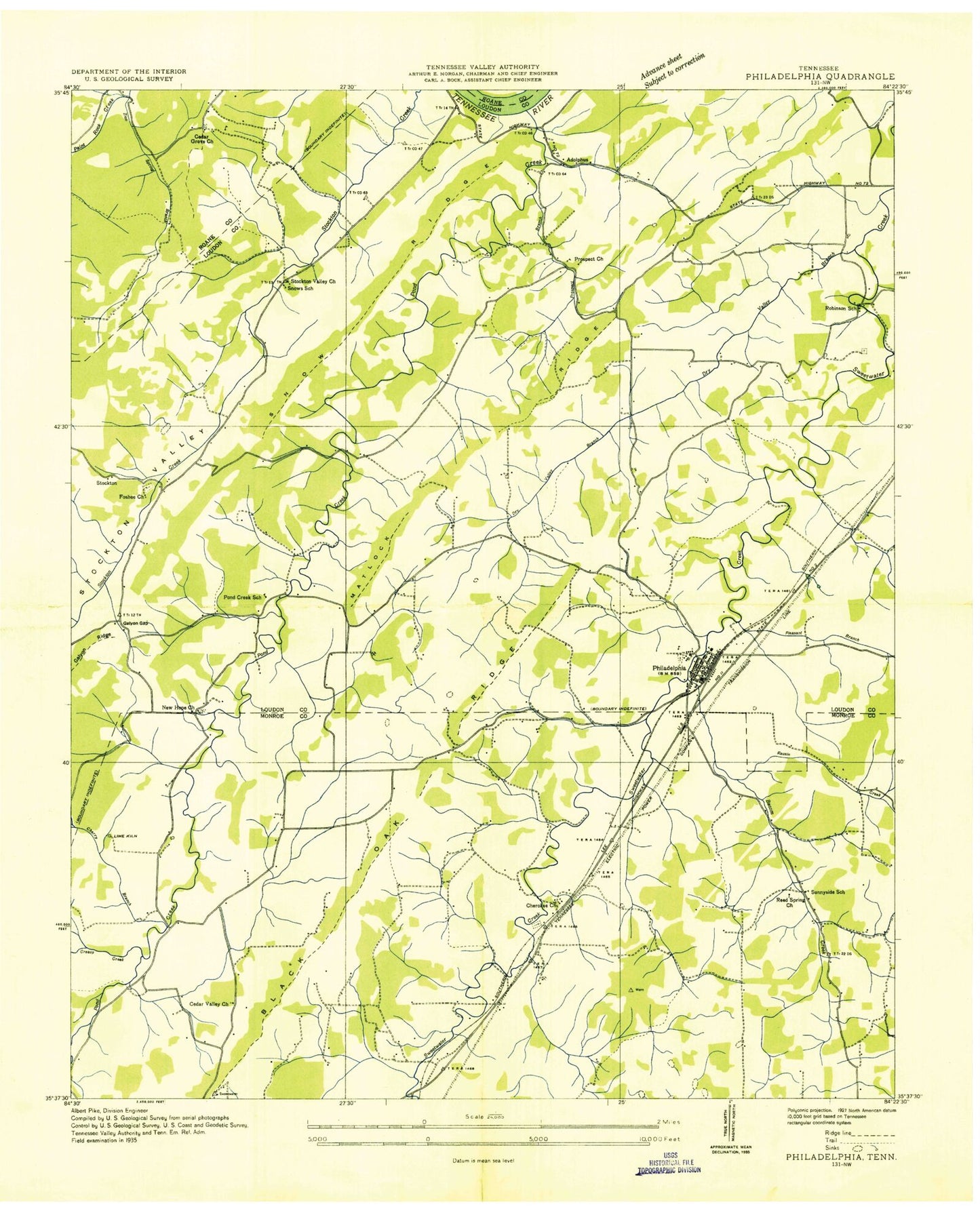
Classic USGS Philadelphia Tennessee 7.5'x7.5' Topo Map
Couldn't load pickup availability
Historical USGS topographic quad map of Philadelphia in the state of Tennessee. Map scale may vary for some years, but is generally around 1:24,000. Print size is approximately 24" x 27"
This quadrangle is in the following counties: Loudon, Monroe, Roane.
The map contains contour lines, roads, rivers, towns, and lakes. Printed on high-quality waterproof paper with UV fade-resistant inks, and shipped rolled.
Contains the following named places: Adolphus, Bacon Creek, Callaway Spring, Carter Cemetery, Cedar Grove Church, Cedar Valley Church, Cherry Branch, City of Philadelphia, Commissioner District 4, Dry Valley Branch, Fairlane, Faith Chapel, Fergusons Flying Circus Airport, First Baptist Church, Fochee, Foshee Chapel, Galyon Gap, Gilman Switch, Greasy Branch, Harmon Chapel Cumberland Presbyterian Church, Harris Cemetery, Johnson Cemetery, Jones Cemetery, Lay Cemetery, Loudon City Park, Loudon County Prison Camp, Loudon Fire Department Station 2, Loudon Police Department Station 2, Marney Cemetery, Matlock Ridge, McGuire Mine, New Hope Church, North Monroe Volunteer Fire Department, Northpoint Cemetery, Old Sweetwater, Old Sweetwater Baptist Church, Old Sweetwater Cemetery, Philadelphia, Philadelphia Division, Philadelphia Elementary School, Philadelphia Fire and Rescue, Philadelphia Park, Philadelphia Post Office, Philadelphia United Methodist Church, Pleasant Run, Pond Creek, Pond Creek Ferry, Pond Creek School, Preston Mine, Prospect, Prospect Baptist Church, Prospect Branch, Prospect School, Rausin Creek, Rausin Spring, Reed Spring, Reed Spring Church, Reed Springs Cemetery, Roberson Cemetery, Roberson School, Snow Ridge, Snow School, Stockton Valley Church, Sunnyside, Sunnyside School, Town of Loudon, Vida Mine, Watson Ridge, Wilson Cemetery, Zion Hollow, Zion Spring Branch, ZIP Code: 37846


