MyTopo
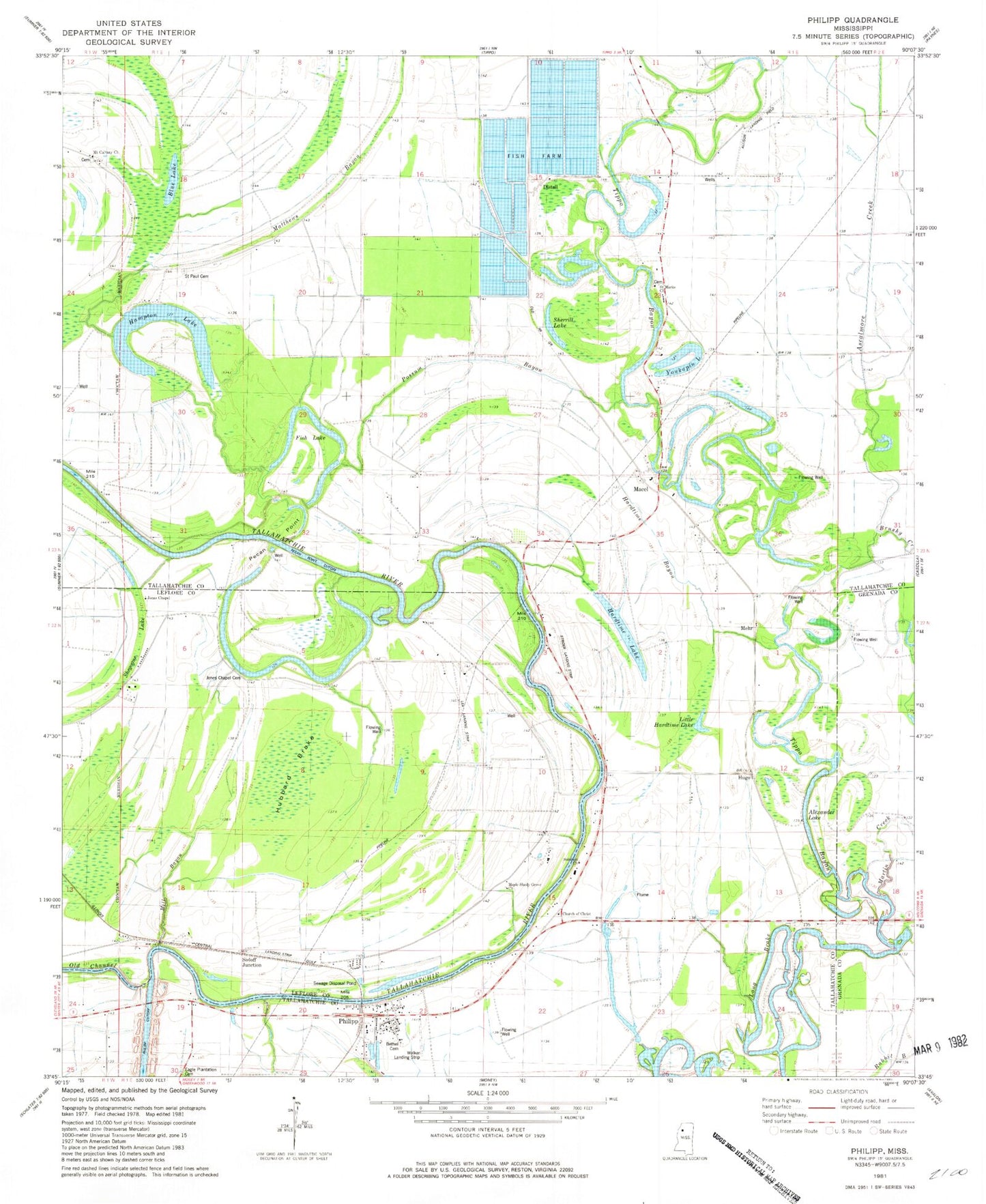
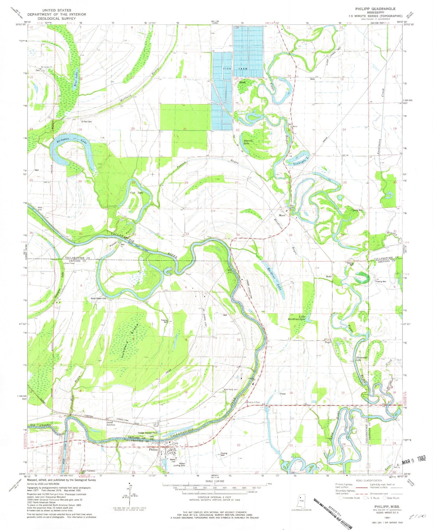
Classic USGS Philipp Mississippi 7.5'x7.5' Topo Map
Couldn't load pickup availability
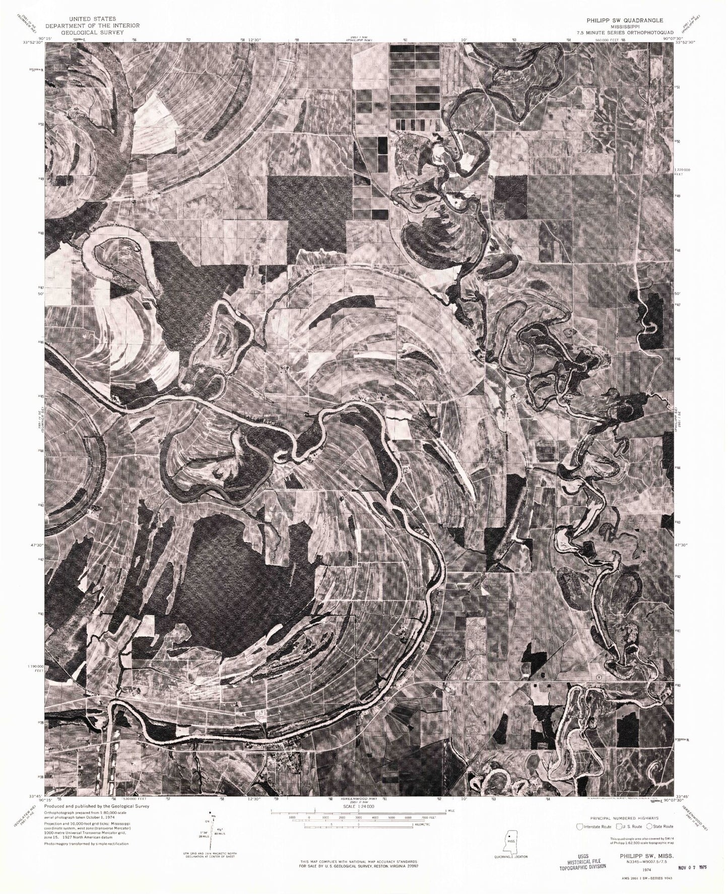
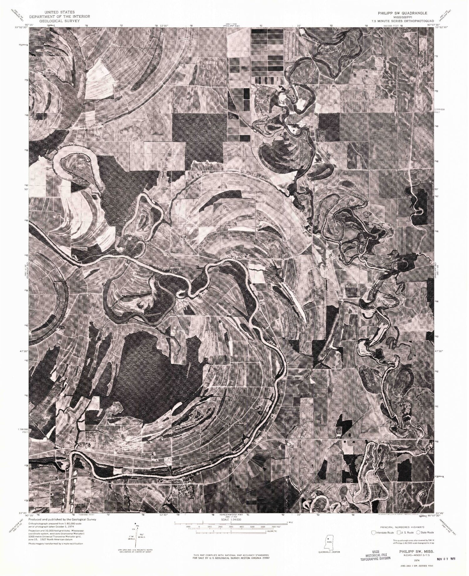
Historical USGS topographic quad map of Philipp in the state of Mississippi. Map scale may vary for some years, but is generally around 1:24,000. Print size is approximately 24" x 27"
This quadrangle is in the following counties: Grenada, Leflore, Tallahatchie.
The map contains contour lines, roads, rivers, towns, and lakes. Printed on high-quality waterproof paper with UV fade-resistant inks, and shipped rolled.
Contains the following named places: Alexander Lake, Ascalmore Creek, Baileys Landing, Bell Chapel, Belle View Landing, Bennetts Landing, Bethel Cemetery, Blue Channel Catfish Incorporated Lake Dam, Blue Lake, Blythes Landing, Brushy Creek, Distall, Fish Lake, Hampton Lake, Hardtime Bayou, Hardtime Lake, Hatten, Hugo, Jonas Chapel, Jonas Chapel School, Jones Chapel, Jones Chapel Cemetery, Lamkins Landing, Little Hardtime Lake, Lone Star Landing, Long Brake, Macel, Maple Shady Grove Church, Martin Creek, Matthews Bayou, Mehr, Mill Bayou, Mount Calvery Cemetery, Mount Calvery Church, New Zion Church, Pecan Point, Pecan Point Cut-Off, Pecan Point Landing, Philipp, Philipp Post Office, Phillips Landing, Possum Bayou, Rays Landing, Riverview School, Russells Landing, Saint Elmom Church, Saint Elmon Church, Saint Marks Church, Saint Paul Cemetery, Saint Paul Church, Saint Paul School, Shegogue Lake, Sherrill Lake, Sisloff Junction, Sisloff Junction Landing, Soloman Chapel Church, Soloman Chapel School, Supervisor District 4, Sykes Landing, Tallahatchie National Wildlife Refuge, Turners Landing, Walters Landing, Yonkapin Lake, ZIP Code: 38962


