MyTopo
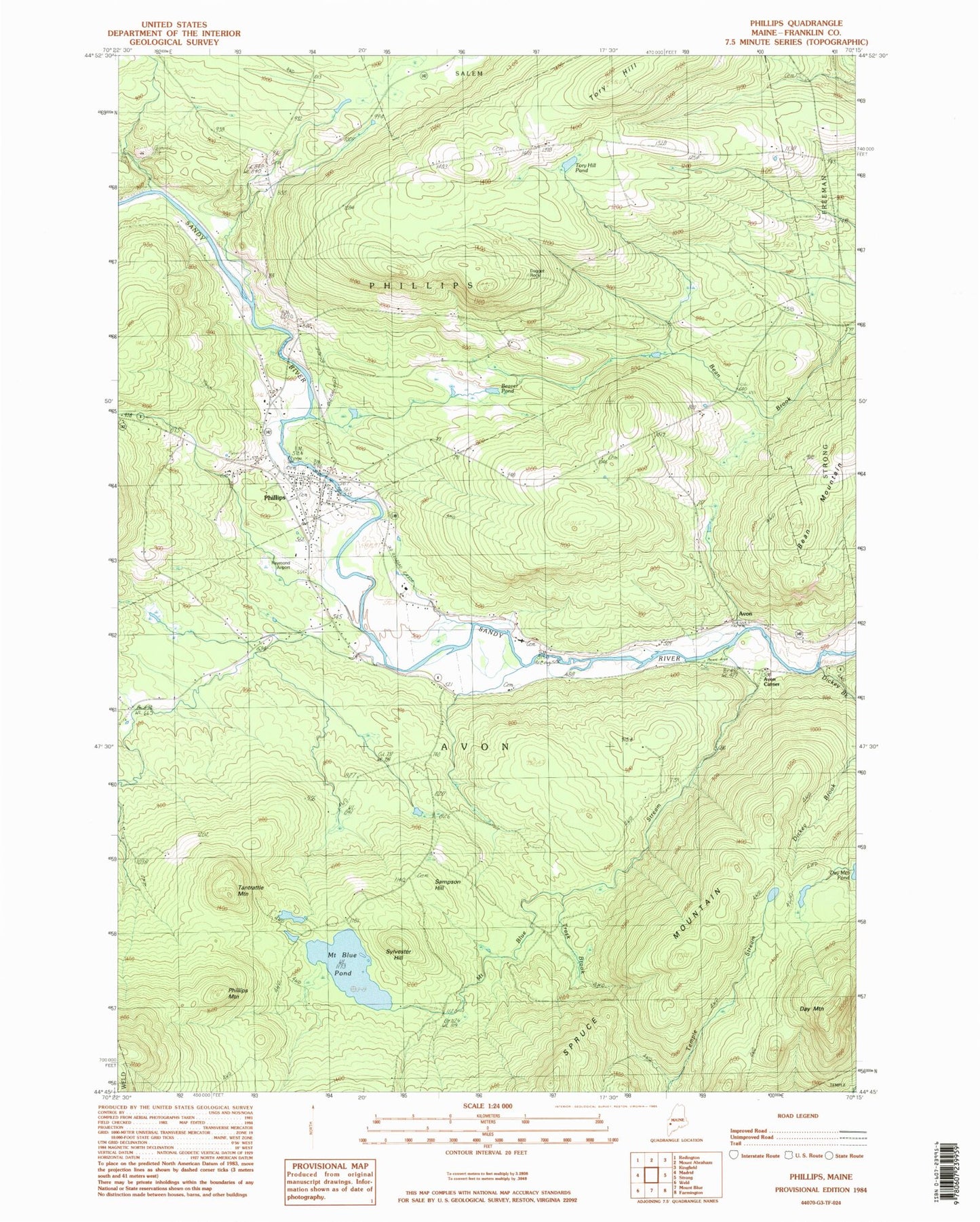
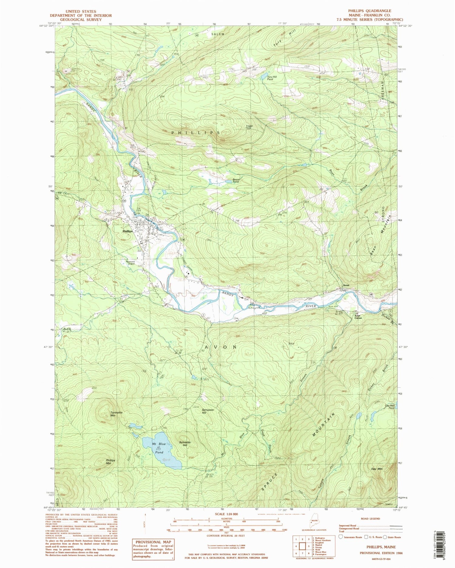
Classic USGS Phillips Maine 7.5'x7.5' Topo Map
Couldn't load pickup availability
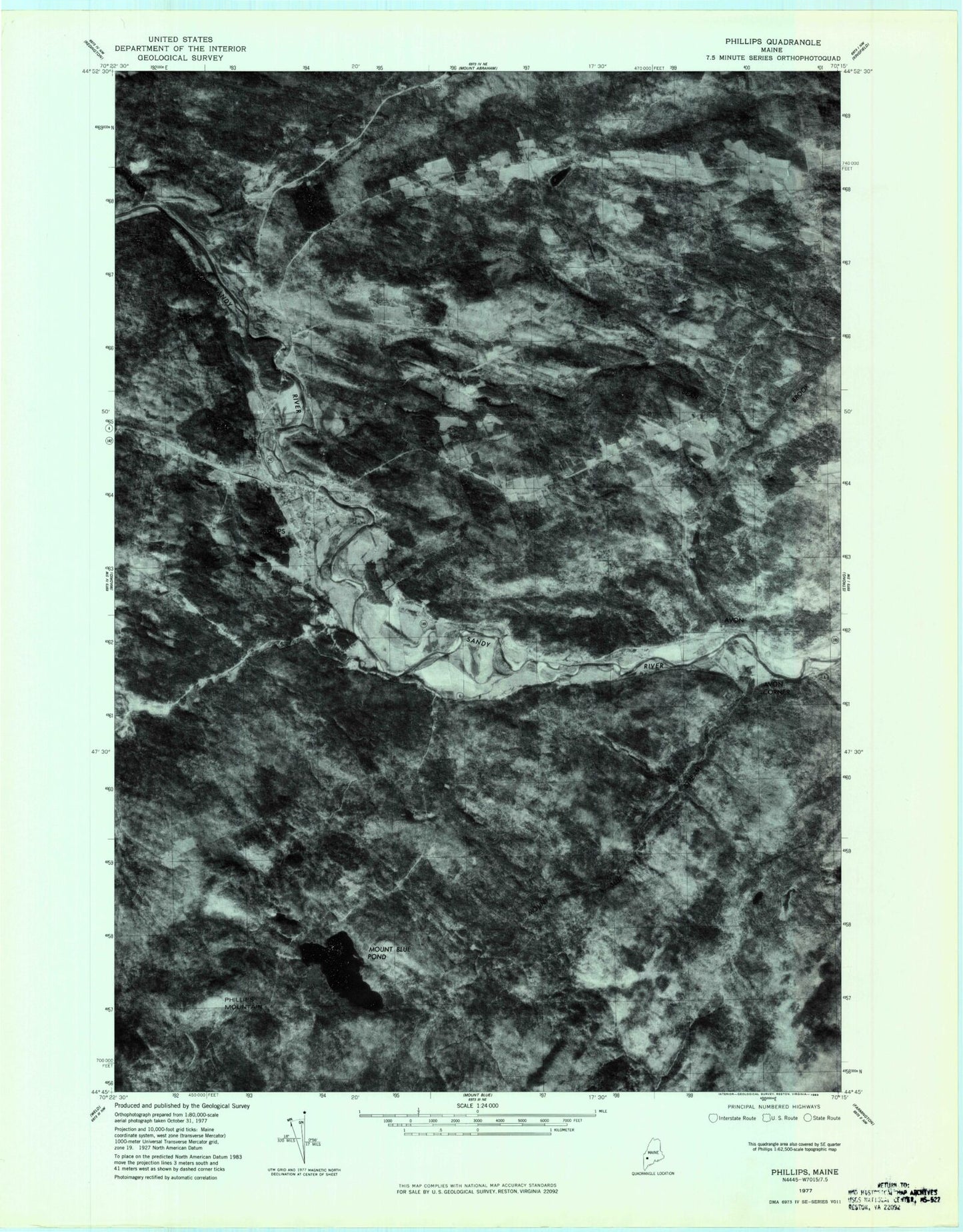
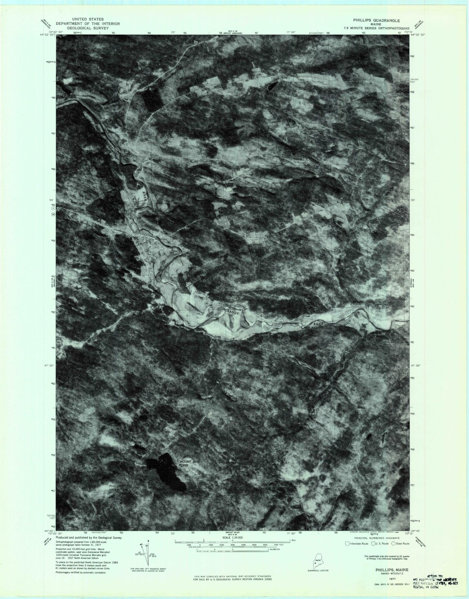
Historical USGS topographic quad map of Phillips in the state of Maine. Typical map scale is 1:24,000, but may vary for certain years, if available. Print size: 24" x 27"
This quadrangle is in the following counties: Franklin.
The map contains contour lines, roads, rivers, towns, and lakes. Printed on high-quality waterproof paper with UV fade-resistant inks, and shipped rolled.
Contains the following named places: Avon Valley School, Bean Mountain, Beaver Pond, Craig School, Cushman School, Day Mountain, Dickey Brook, Mile Square School, Mount Blue Pond, Mount Blue Stream, Phillips, Phillips Mountain, Sampson Hill, Sylvester Hill, Tantrattle Mountain, Tory Hill, Tory Hill Pond, Trask Brook, Avon, Avon Corner, Lindbergh Airport, Town of Avon, Avon Cemetery, Evergreen Cemetery, Phillips Historical Society, Phillips Post Office, Phillips Elementary School, Phillips Public Library, Phillips - Maine Cemetery, Riverside Cemetery, Union Church, Phillips Volunteer Fire Department, Northstar Emergency Medical Services Phillips Station, Brackley Cemetery, Pease Cemetery, Tory Hill Cemetery, Avon Valley Road Cemetery, Day Mountain Cemetery, Knott Burial Plot, Mount Blue Cemetery, Sand Hill Cemetery, Sprague Howland Cemetery, Whitney Cemetery