MyTopo
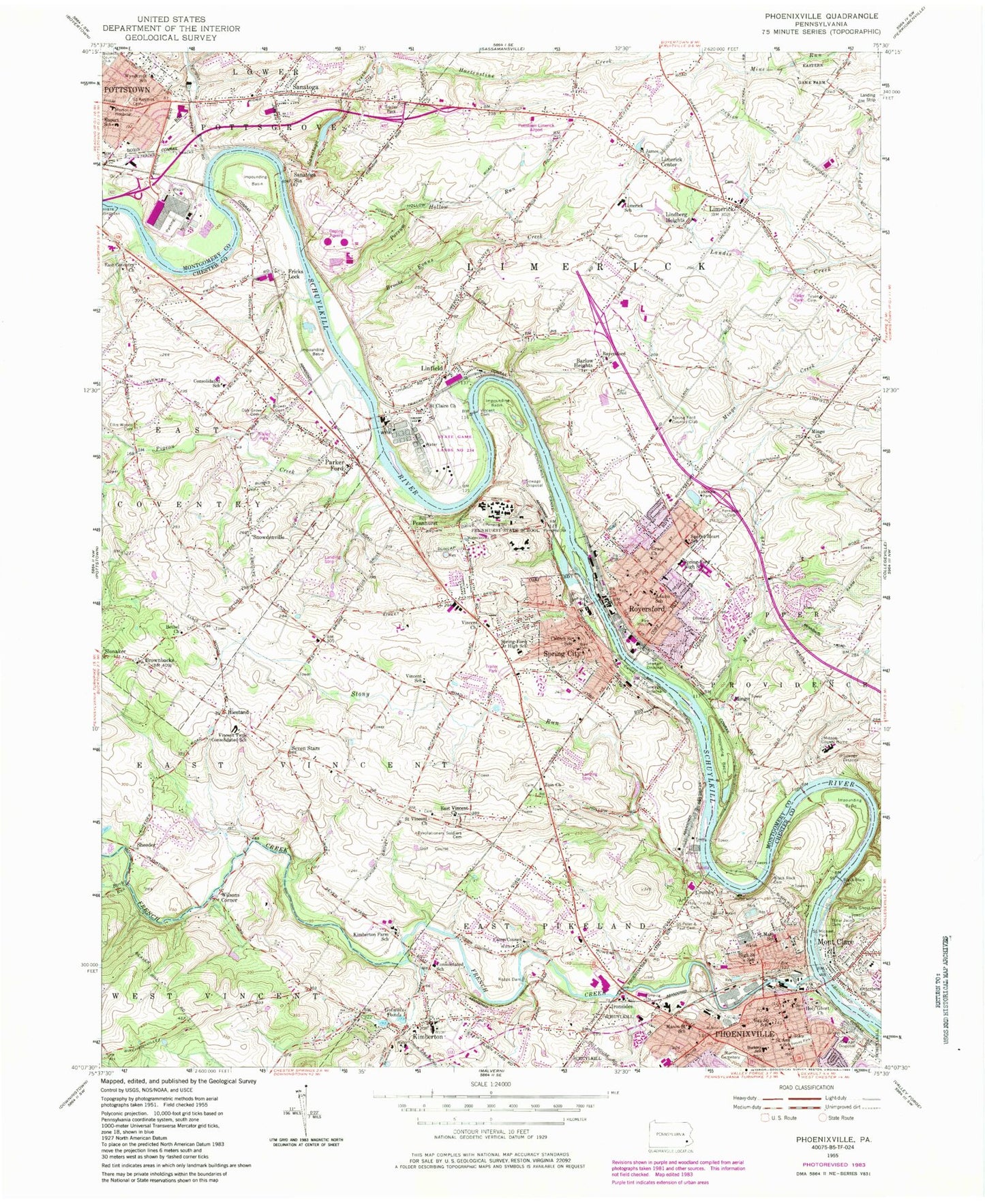
Classic USGS Phoenixville Pennsylvania 7.5'x7.5' Topo Map
Couldn't load pickup availability
Historical USGS topographic quad map of Phoenixville in the state of Pennsylvania. Typical map scale is 1:24,000, but may vary for certain years, if available. Print size: 24" x 27"
This quadrangle is in the following counties: Chester, Montgomery.
The map contains contour lines, roads, rivers, towns, and lakes. Printed on high-quality waterproof paper with UV fade-resistant inks, and shipped rolled.
Contains the following named places: Adams School, B'Nai Jacob Cemetery, Barkley School, Barlow Heights, Bethel Church, Birch Run, Black Rock Cemetery, Brooke Evans Creek, Brower Cemetery, Camp Council, Church Street School, Dismant Cemetery, East Conventry Church, East Vincent Church, Ellis Woods Cemetery, Fernwood Cemetery, French Creek, Gay Street School, Gotwals Ponds, Grace Church, High Street School, Holy Ghost Orthodox Christian Church Cemetery, Holy Ghost Church, Holy Trinity Cemetery, Kimberton, Kimberton Farm School, Lakeview Park, Limerick, Linfield, Mason Street School, Memorial Hospital, Mingo Church, Mingo Creek, Mont Clare, Oak Grove Cemetery, Otterbein Church, Parker Ford, Pennhurst State School, Pigeon Creek, Possum Hollow Run, Rapps Dam, Reeves Park, Revolutionary Soldiers Cemetery, Royersford Church, Sacred Heart Cemetery, Sacred Heart School, Old Saint Aloysius Cemetery, Saint Ann School, Saint Clair Church, Saint James Church, Saint Mary School, Saint Michael Park, Saint Vincent Church, Saints Peter and Paul Cemetery, Sanatoga, Sanatoga Station, Spring-Ford High School, Spring-Ford Intermediate School, Stony Run, Tyson Cemetery, Vincent Church, Vincent Dam, Vincent School, Vincent Townships Consolidated School, Wyndcroft School, Zion Church, Sprogels Run, Hartenstine Creek, Morris Cemetery, Phoenixville, Sanatoga Creek, Spring City, Gingrich Airport (historical), Malickson Airport (historical), Kolb Airport, Lance Airport, Emery Field (historical), Heritage Field, Pottstown Memorial Medical Center Airport, Sunset Strip (historical), Phoenixville Dam, Black Rock Lake, Schuylkill Canal, Lake Sanatoga, Sanatoga Dam, Black Rock Dam, Royersford, WYIS-AM (Phoenixville), Terrace Hill, Fords Edge, Orchard Courts, Providence Forge, Roboda, Village of Mingo, Brownbacks, Cromby, Fricks Lock, Hiestand, Ironsides, Limerick Center, Lindberg Heights, Mingo, Pennhurst, Seven Stars, Sheeder, Snowdenville, Wilsons Corner, Johnson County Home, Kimberton Golf Course, Limerick Country Club, East Coventry Elementary School, Second Avenue Elementary School, East Pikeland Elementary School, Valley Forge Mall, Limerick Industrial Park, Linfield Industrial Park, Royersford Station, Bible Fellowship Church, Mingo Cemetery, Royerford Baptist Church, Upper Schuylkill Valley County Park, Humane Church, State Game Lands Number 234, Phoenixville Dam, Kimberton Dam, Lakeview Dam, Lake Side Inn Dam, Sanatoga Dam, Royersford Elementary School, Spring Ford Middle School, Limerick Nuclear Power Plant, Pennhurst Station, Royersford Station, Phoenixville Station, Spring Ford Country Club, Crouse Company Heliport, Limerick Elementary School, Rupert Elementary School, Vincent Post Office (historical), Borough of Phoenixville, Borough of Spring City, Borough of Royersford, Township of East Coventry, Township of East Pikeland, Township of East Vincent, Township of Limerick, Tindey Run, Bartons Meadows, Black Rock County Preserve, Black Rock Tunnel, Brown Street Neighborhood Park, Caines Creek, Camphill Special School, Centre Creek Estates, Chester County District Justice Court, Chester Downs, Chesterbrook Academy, Chestnut Pointe, Abbey Downs, Ashford Green, Haverfield, Herritage Ridge, Phoenix Hose Hook and Ladder Company - Station 65, Royersford Fire Department - Station 98A, Congregation Mercy and Truth Church, Coventry Terrace Mobile Home Park, Cromby Industrial Park, Cromby Power Plant, Dell at Muirfield, East Coventry Township Office, East Pikeland Township Building, East Pikeland Township Police Station, East Vincent Township Building, East Vincent Township Park, East Vincent Township Police Station, Faircrest Farms, Freedom Lutheran Church, Friendship Fire Company 2 Station 66, Royersford Fire Department - Station 98B, Golden Age Manor, Golf Ridge, Liberty Steam Fire Company 1 - Station 63, Limerick Airport Industrial Park, Limerick Post Office, Limerick Chapel, Limerick Community Park, Limerick Garden of Memories Cemetery, Limerick Golf Course, Limerick Greene, Limerick Square Shopping Center, Limerick Fire Company - Station 54, Limerick Township Building, Limerick Township Police Station, Limerick Village Mobile Home Park, Linfield Corporate Center, Linfield County Preserve, Linfield Farms, Linfield Station, Linfield Fire Company - Station 51, Linfield Woods, Maple Lawn Shopping Center, Marosek Park, Millers Mobile Home Park, Mont Clare Post Office, Black Rock Volunteer Fire Company - Mont Clare Station 99B, Montgomery Brooke, Kennedy Covered Bridge, Kimberton Fire Company Station 61, Kimberton Square Shopping Center, Kimberton-Waldorf School, Saint Joseph Catholic Churrch, Sanatoga Branch Post Office, Sanatoga Commons, Sanatoga County Preserve, Sanatoga Memorial Park, Sanatoga Police Station, Sanatoga Fire Company - Station 58, Schuylkill Canal Park, Schuylkill Valley Baptist Church, Shaners Trailer Park, Sheeders Covered Bridge, Shoppes at Valley Forge Shopping Center, Southeast Veterans Administration, Oakwood Farms, Parker Ford Baptist Cemetery, Parker Ford Baptist Church, Parker Ford Post Office, Parkerford, Parkside United Church of Christ, Pennhurst Fire Station, Pennhurst Police Station, Phoenixville Borough Hall, Phoenixville Library, Phoenixville Plaza Shopping Center, Phoenixville Police Station, Phoenixville Post Office


