MyTopo
Classic USGS Picacho Butte Arizona 7.5'x7.5' Topo Map
Regular price
$16.95
Regular price
Sale price
$16.95
Unit price
per
Couldn't load pickup availability
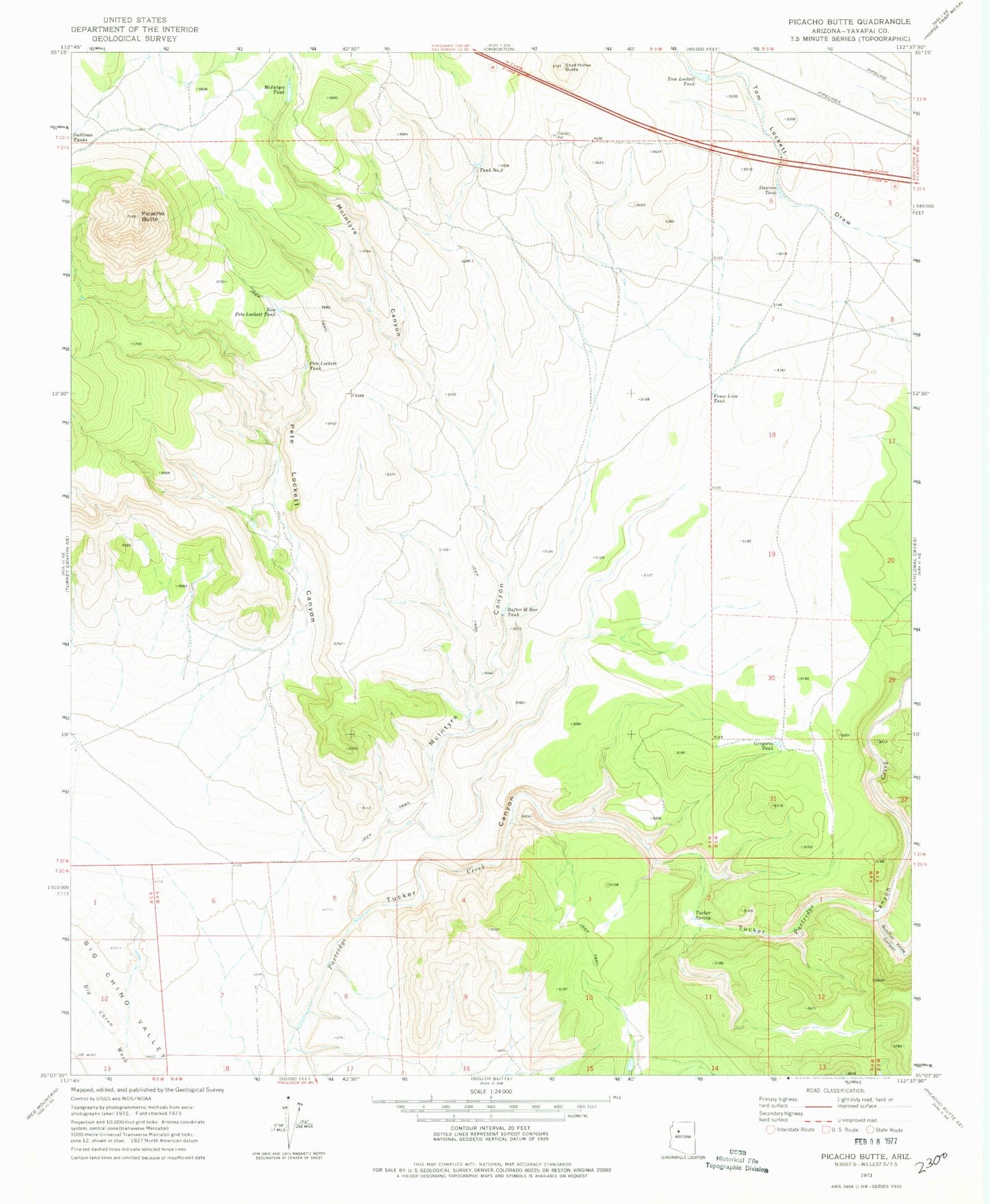
Historical USGS topographic quad map of Picacho Butte in the state of Arizona. Map scale may vary for some years, but is generally around 1:24,000. Print size is approximately 24" x 27"
This quadrangle is in the following counties: Yavapai.
The map contains contour lines, roads, rivers, towns, and lakes. Printed on high-quality waterproof paper with UV fade-resistant inks, and shipped rolled.
Contains the following named places: Butcher Knife Canyon, Dawson Tank, Fence Line Tank, Gregoria Tank, McIntyre Canyon, McIntyre Tank, New Peter Lockett Tank, Peter Lockett Canyon, Peter Lockett Tank, Picacho Butte, Rafter M Bar Tank, Stud Horse Butte, Tank Number Two, Tom Lockett Tank, Tucker Canyon, Tucker Spring