MyTopo
Classic USGS Picacho Peak Utah 7.5'x7.5' Topo Map
Couldn't load pickup availability
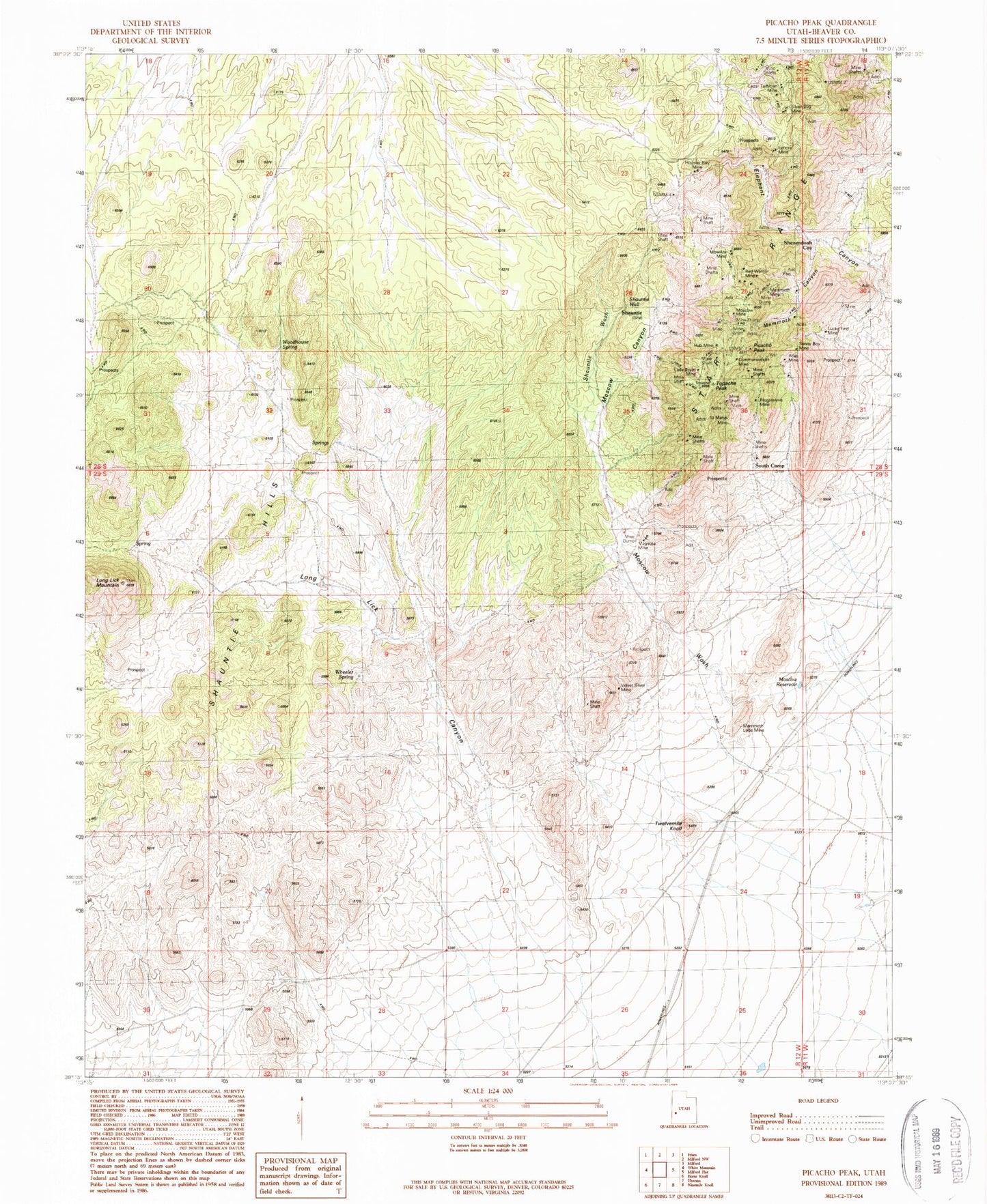
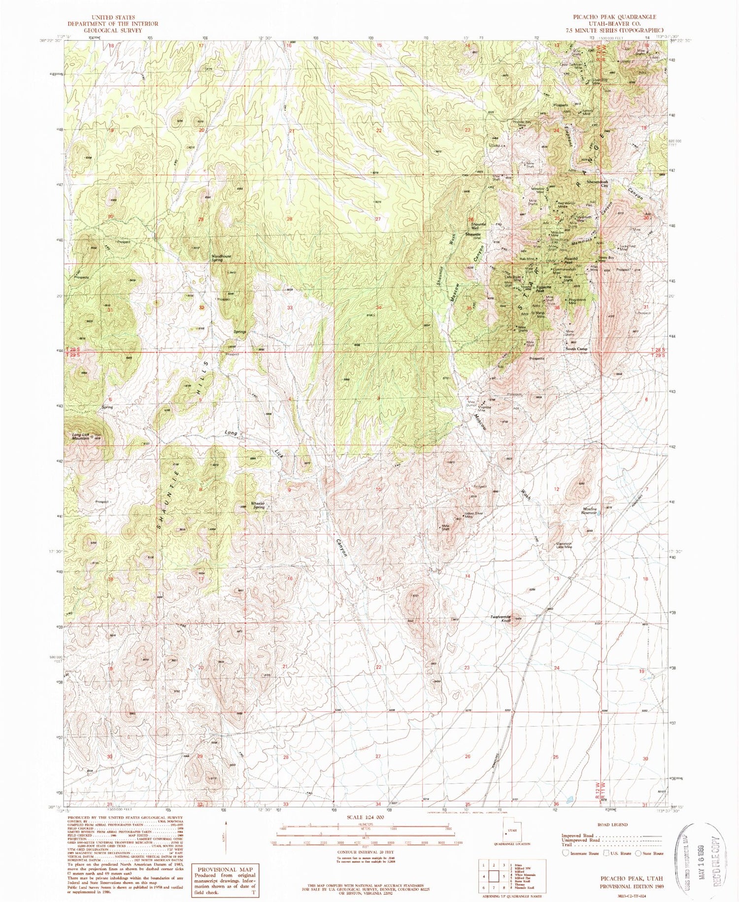
Historical USGS topographic quad map of Picacho Peak in the state of Utah. Map scale may vary for some years, but is generally around 1:24,000. Print size is approximately 24" x 27"
This quadrangle is in the following counties: Beaver.
The map contains contour lines, roads, rivers, towns, and lakes. Printed on high-quality waterproof paper with UV fade-resistant inks, and shipped rolled.
Contains the following named places: Atlas Mine, Beaver County, Cedar Talisman Mine, Commonwealth Mine, Hoosier Boy Mine, Hub Mine, Lady Bryan Mine, Leonora Mine, Long Lick Canyon, Long Lick Mountain, Lucky Find Mine, Magnolia Mine, Mammoth Canyon, Mammoth Lode Mine, Mammoth Mine, Moscow Canyon, Moscow Mine, Moscow Reservoir, Moscow Wash, Mowitza Mine, Picacho Peak, Progressive Mine, Red Warrior Mine, Saint Marys Mine, Shauntie, Shauntie Hills, Shauntie Wash, Shauntie Well, Shenendoah City, Sonny Boy Mine, South Camp, Topache Peak, Twelvemile Knoll, Velvet Silver Mine, Wheeler Spring, Woodhouse Spring


