MyTopo
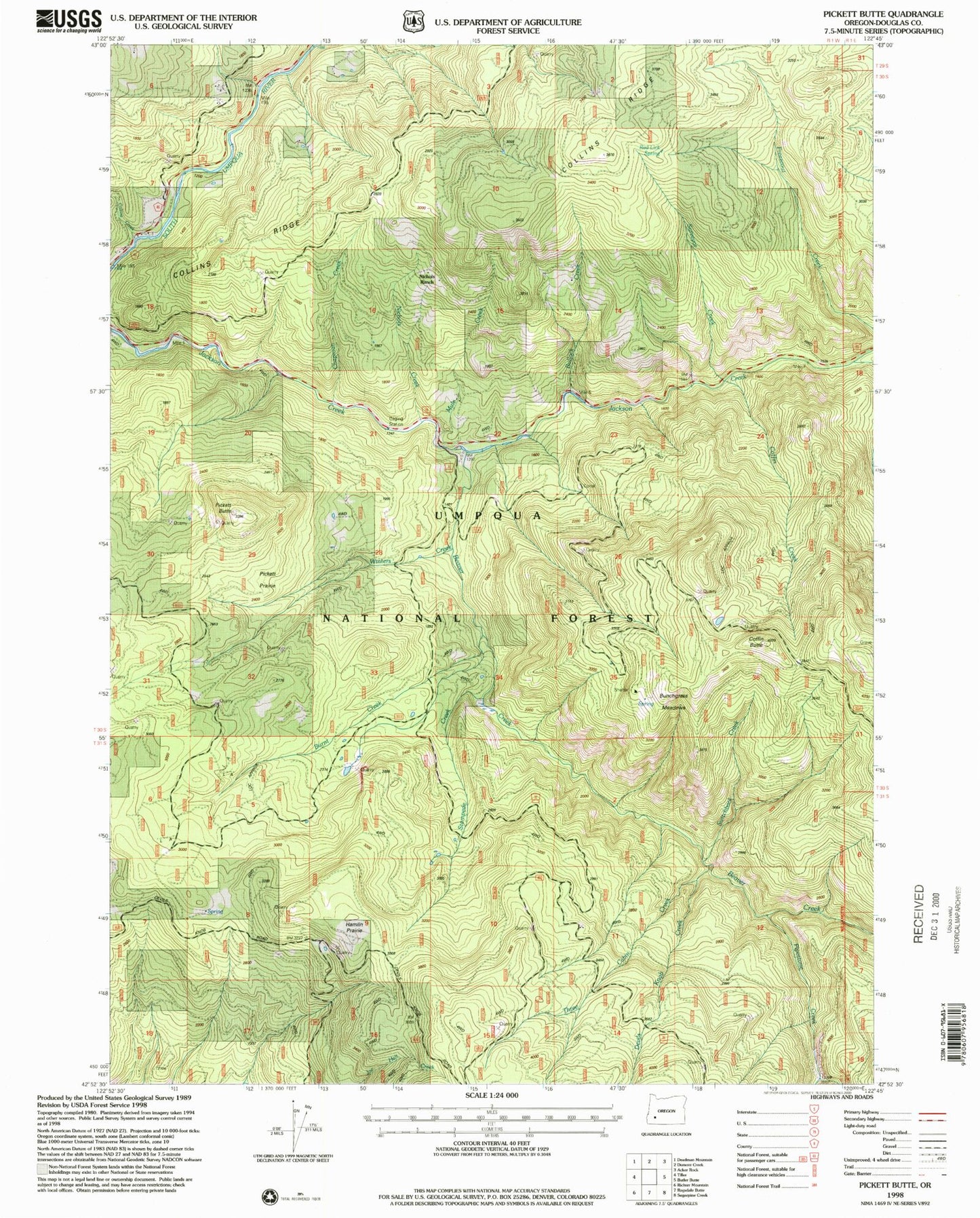
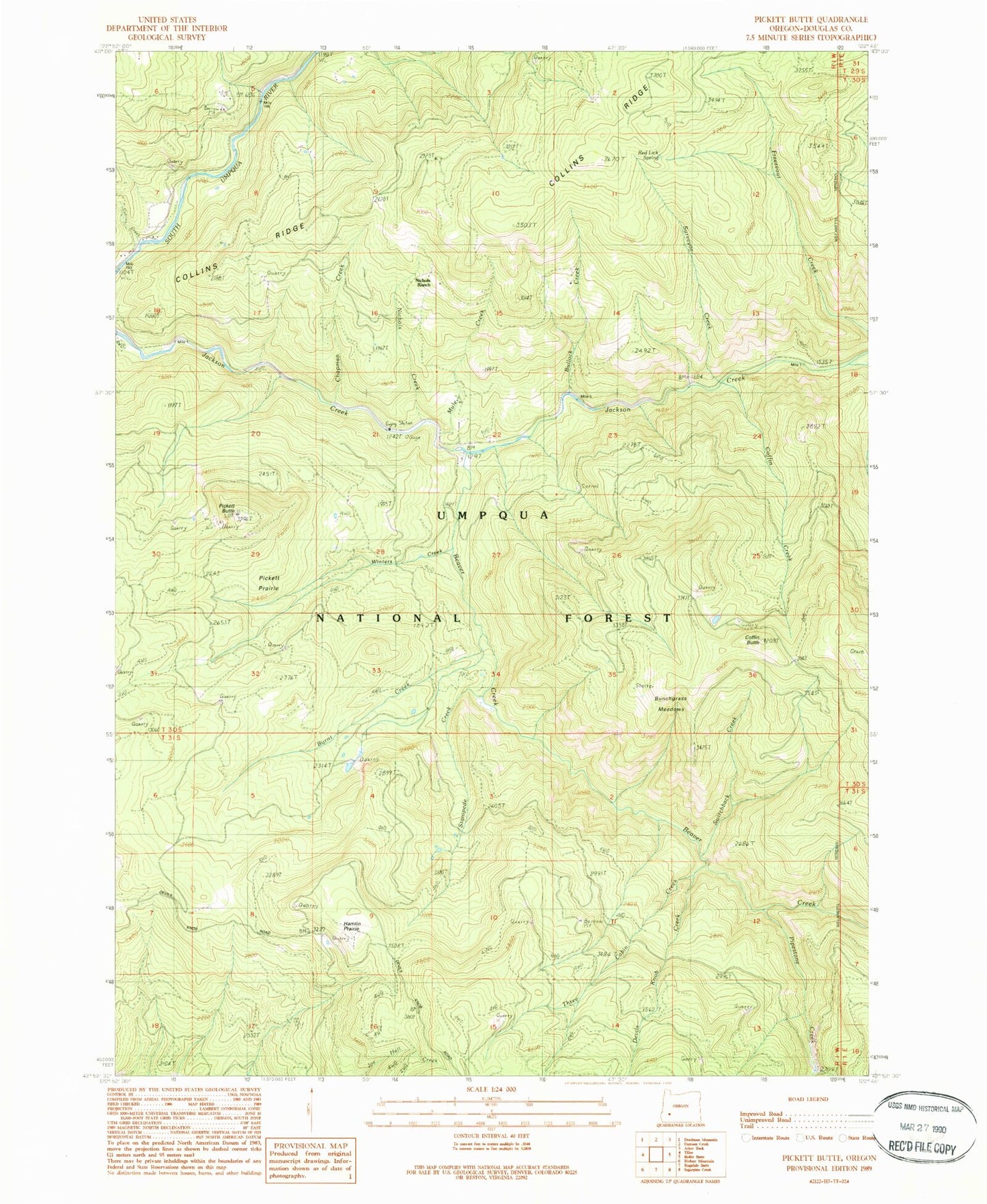
Classic USGS Pickett Butte Oregon 7.5'x7.5' Topo Map
Couldn't load pickup availability
Historical USGS topographic quad map of Pickett Butte in the state of Oregon. Map scale may vary for some years, but is generally around 1:24,000. Print size is approximately 24" x 27"
This quadrangle is in the following counties: Douglas.
The map contains contour lines, roads, rivers, towns, and lakes. Printed on high-quality waterproof paper with UV fade-resistant inks, and shipped rolled.
Contains the following named places: Allan Creek, Beaver Creek, Beaver Lake, Bullock Creek, Bunchgrass Meadows, Bunchgrass Meadows Shelter, Burnt Creek, Chapman Creek, Coffin Butte, Coffin Butte Lookout, Coffin Creek, Collins Creek, Collins Lookout, Collins Ridge, Devils Knob Creek, Freezeout Trail, Hamlin Prairie, Mule Creek, Nichols Creek, Nichols Ranch, Pickett Butte, Pickett Butte Lookout Tower, Pickett Prairie, Pipestone Creek, Pode Creek, Red Lick Spring, Stampede Creek, Summit Guard Station, Surveyor Creek, Switchback Creek, Three Cabin Creek, Winters Creek, ZIP Code: 97484


