MyTopo
Classic USGS Piedmont SE Missouri 7.5'x7.5' Topo Map
Couldn't load pickup availability
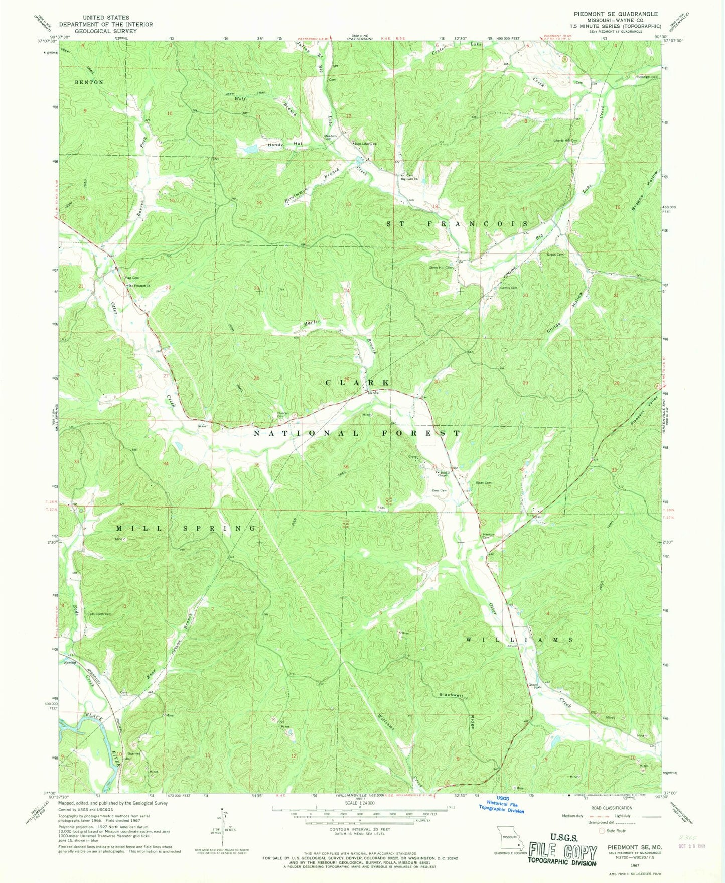
Historical USGS topographic quad map of Piedmont SE in the state of Missouri. Map scale may vary for some years, but is generally around 1:24,000. Print size is approximately 24" x 27"
This quadrangle is in the following counties: Wayne.
The map contains contour lines, roads, rivers, towns, and lakes. Printed on high-quality waterproof paper with UV fade-resistant inks, and shipped rolled.
Contains the following named places: Barlow, Barren Fork, Big Lake Church, Blackwell Ridge, Bollinger Cemetery, Center Lake Creek, Childs Hollow, Dees Cemetery, Dees Chapel, Dees Chapel School, Dees Town, Don Manetz Dam, Don Manetz Lake, Duncan Cemetery, Eads Creek, Eads Creek Cemetery, Eads Creek School, Gentry Cemetery, Granite Bend, Green Cemetery, Green Hill Cemetery, Green Hill School, Handy Hollow, Henson Cemetery, Hubert, Julian Branch, Kerrigan, Knox Branch, Lake Creek School, Liberty Hill Cemetery, Liberty Hill Church, Liberty School, Marler Branch, Meador Valley, Meadors Cemetery, Mount Pleasant Church, Mount Pleasant School, New Liberty Church, Persimmon Branch, Pigg Cemetery, Pleasant Hill School, Risby Cemetery, Seitz Branch, Warrens Store, Wet Fork, Wolf Branch


