MyTopo
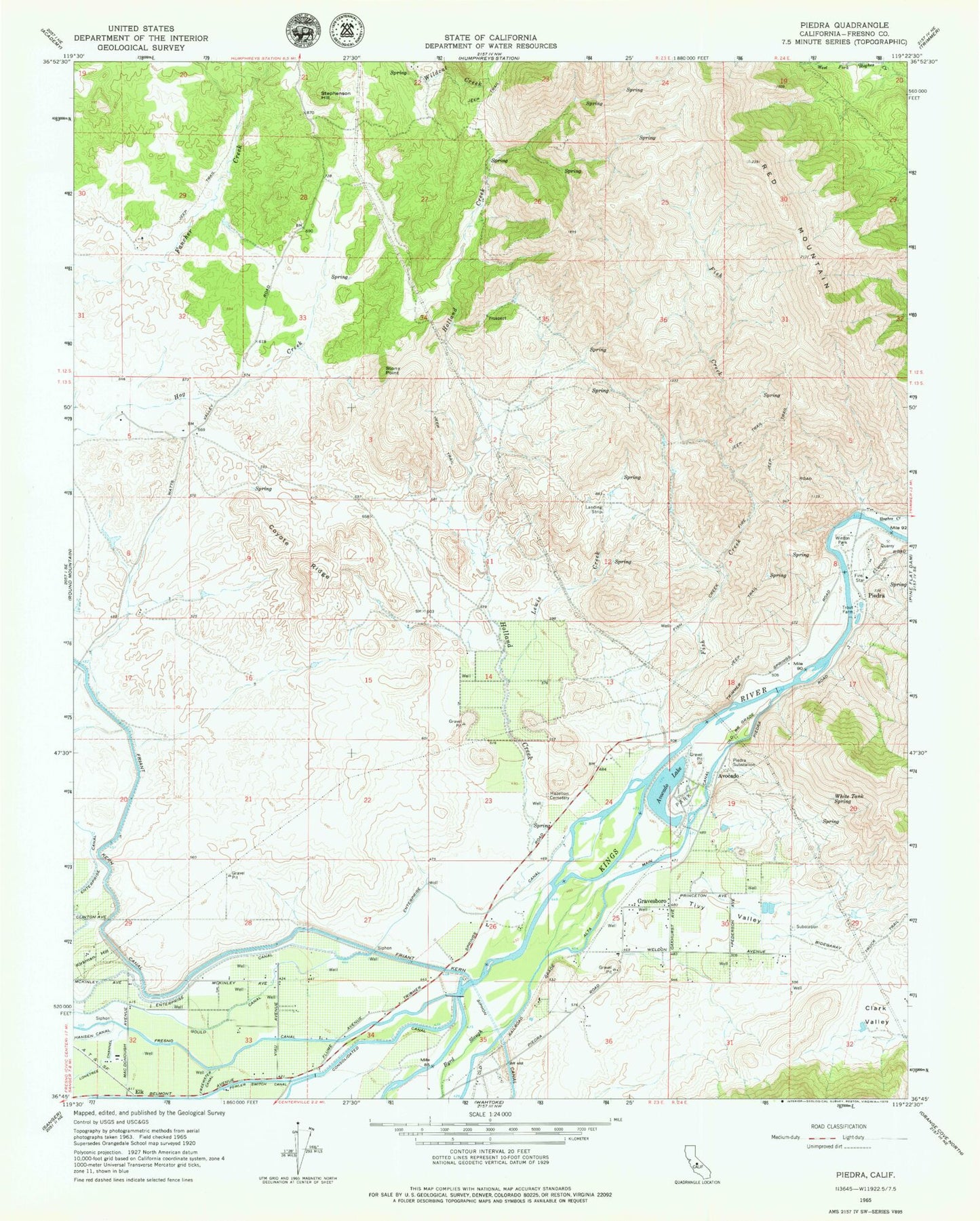
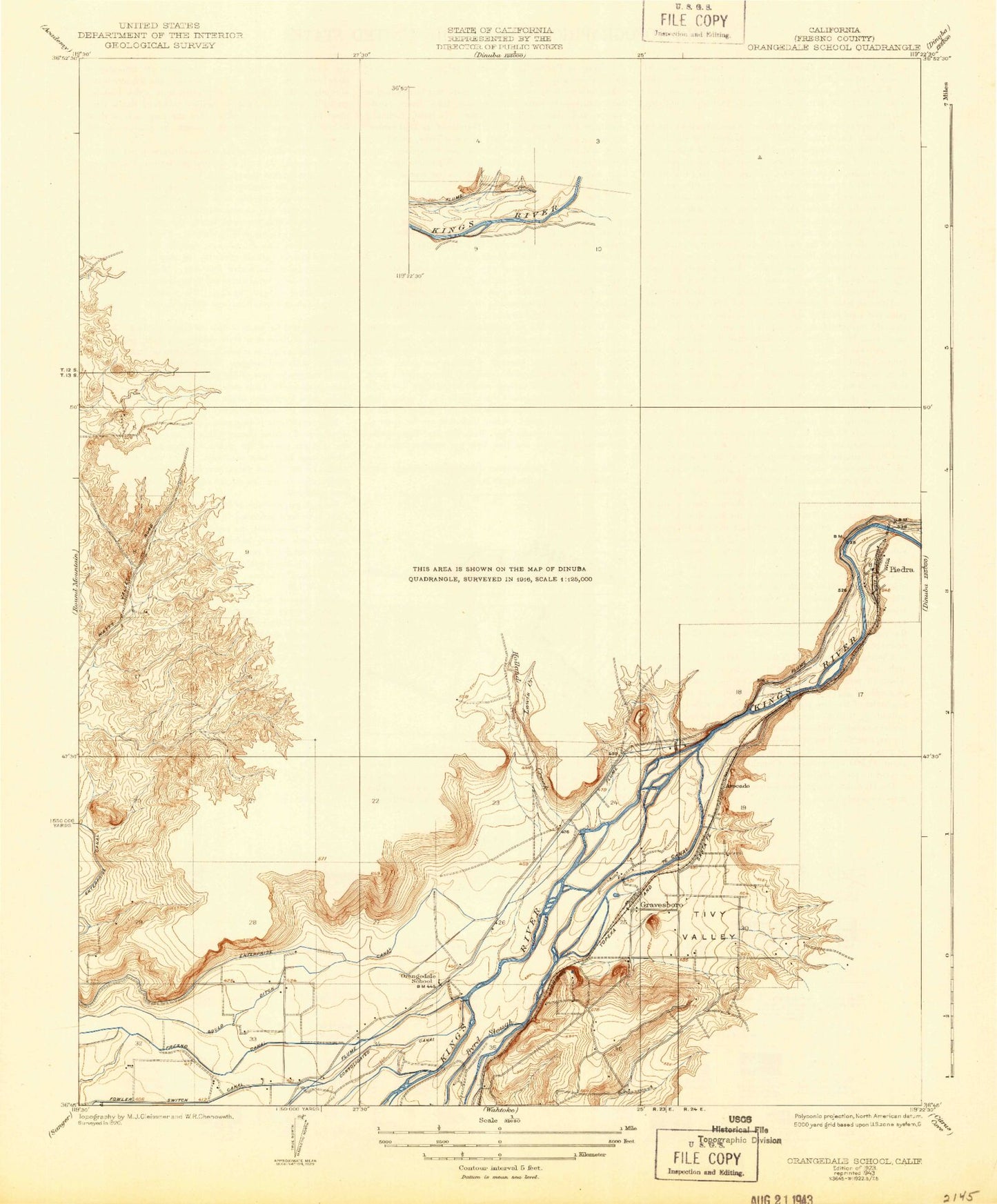
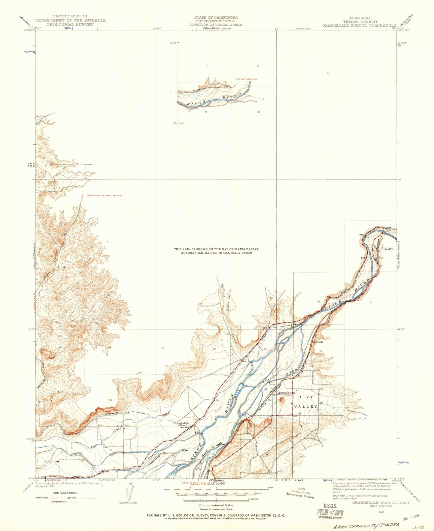
Classic USGS Piedra California 7.5'x7.5' Topo Map
Couldn't load pickup availability
Historical USGS topographic quad map of Piedra in the state of California. Map scale may vary for some years, but is generally around 1:24,000. Print size is approximately 24" x 27"
This quadrangle is in the following counties: Fresno.
The map contains contour lines, roads, rivers, towns, and lakes. Printed on high-quality waterproof paper with UV fade-resistant inks, and shipped rolled.
Contains the following named places: Avocado, Avocado Lake, CAL FIRE Piedra Station, Consolidated Canal, Coyote Ridge, Elk, Fish Creek, Giffen Reservoir 699 Dam, Gravesboro, Hansen Canal, Harris River Ranch Airport, Hazelton Cemetery, Holland Creek, Hughes Creek, Kirkman Hill, Lewis Creek, Lonetree Channel, North Fork Hughes Creek, Oakhurst School, Orangedale School, Piedra, Piedra Substation, Red Mountain, Stephenson Hill, Stony Point, Tivy Valley, West Fork Hughes Creek, White Tank Spring, Wildcat Creek, Winton Park, ZIP Code: 93657