MyTopo
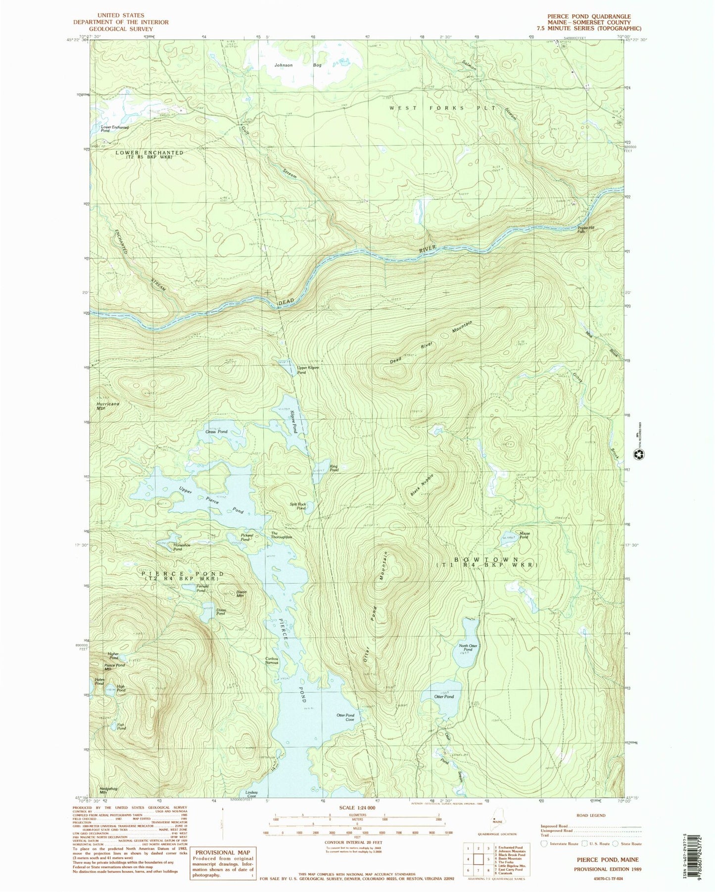
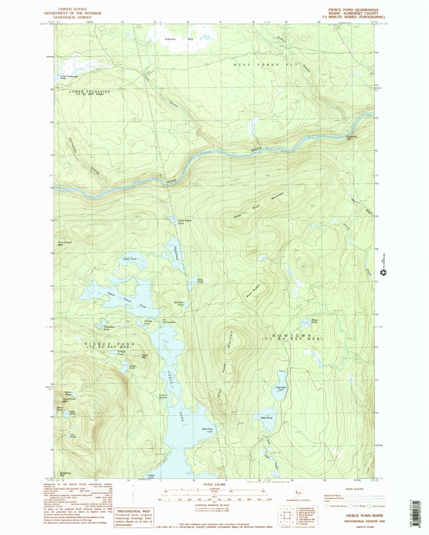
Classic USGS Pierce Pond Maine 7.5'x7.5' Topo Map
Couldn't load pickup availability
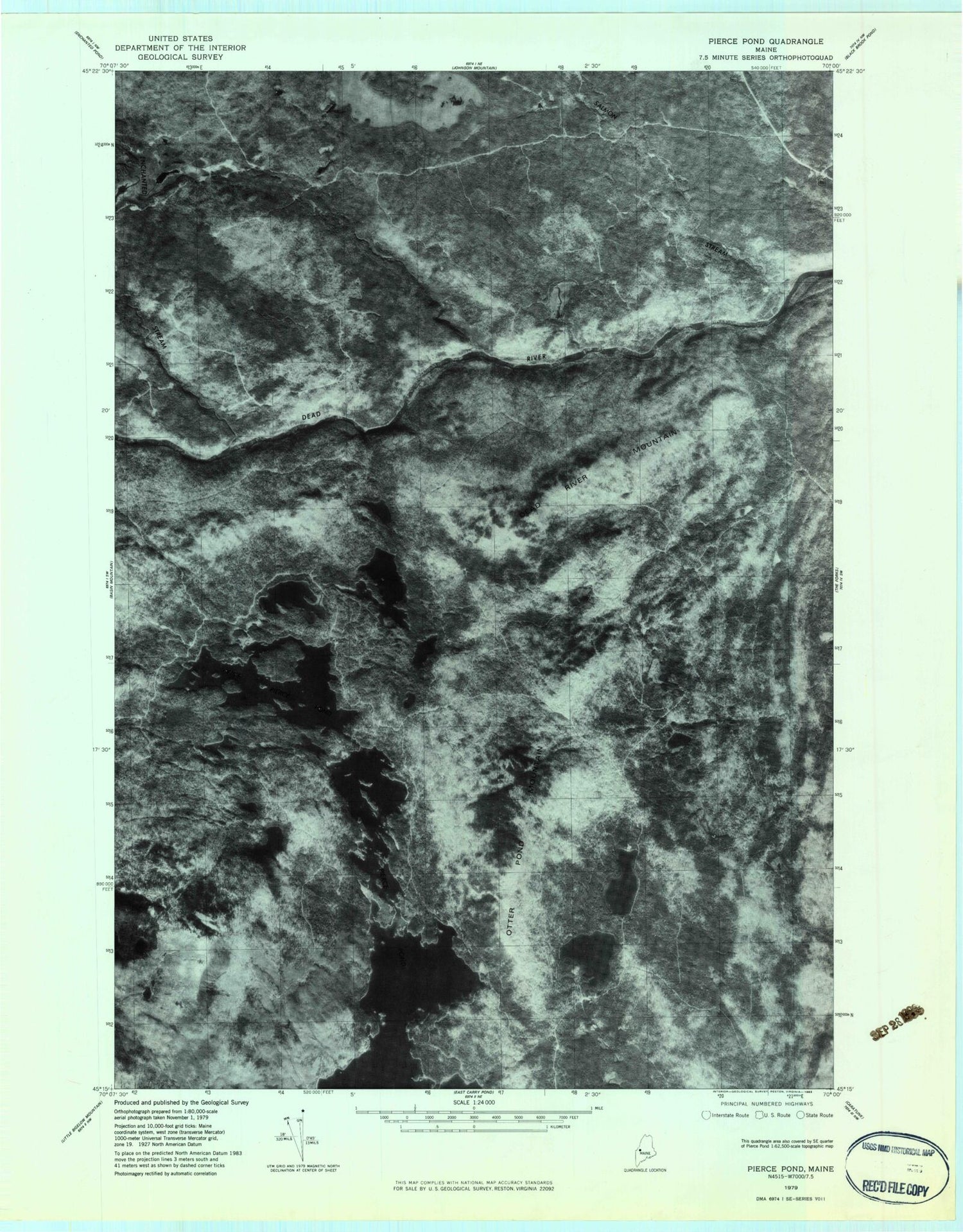
Historical USGS topographic quad map of Pierce Pond in the state of Maine. Typical map scale is 1:24,000, but may vary for certain years, if available. Print size: 24" x 27"
This quadrangle is in the following counties: Somerset.
The map contains contour lines, roads, rivers, towns, and lakes. Printed on high-quality waterproof paper with UV fade-resistant inks, and shipped rolled.
Contains the following named places: Appletree Inn, Black Nubble, Caribou Narrows, Comber Inn, Dead River Mountain, Dixon Mountain, Dixon Pond, Enchanted Stream, Fernald Pond, Grass Pond, Gulf Stream, High Pond, Higher Pond, Horseshoe Pond, Johnson Bog, Kilgore Pond, King Pond, Lindsay Cove, Lower Enchanted Pond, Moose Pond, North Otter Pond, Otter Pond, Otter Pond Camps, Otter Pond Cove, Otter Pond Mountain, Pickerel Pond, Pierce Pond, Pierce Pond Camps, Pierce Pond Mountain, Poplar Hill Falls, Salmon Stream, Split Rock Pond, The Thoroughfare, Upper Kilgore Pond, Upper Pierce Pond, Bowtown Township