MyTopo
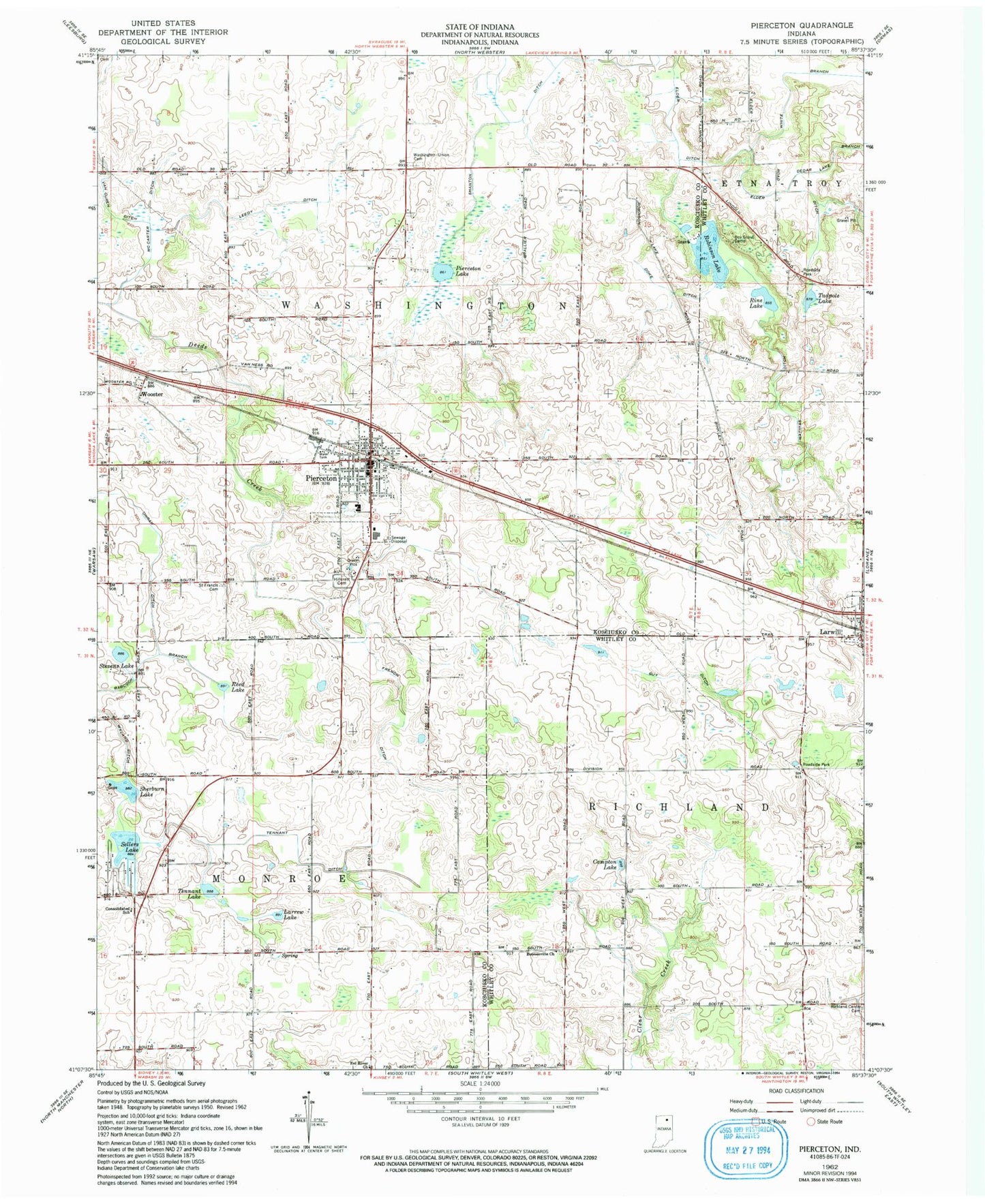
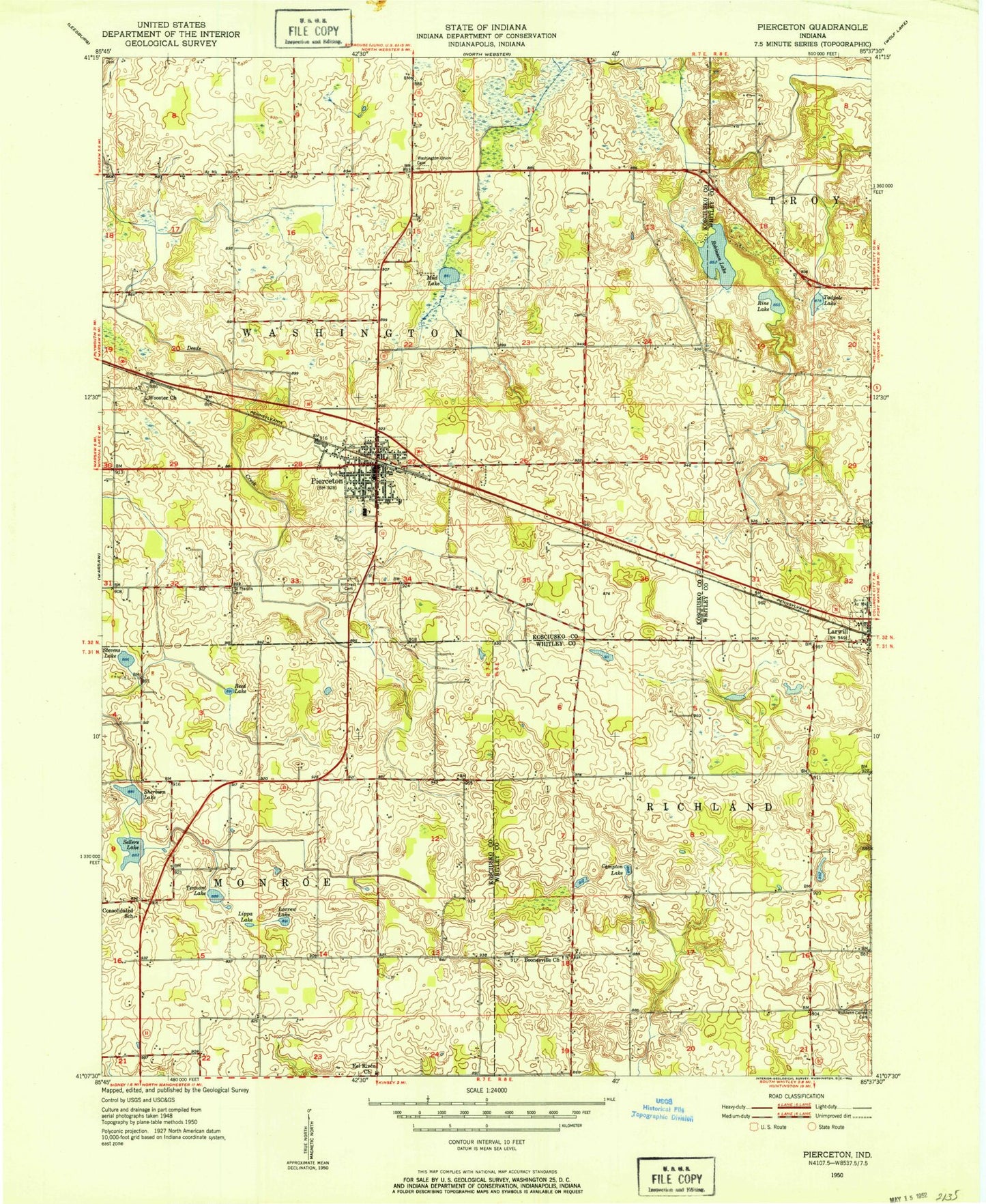
Classic USGS Pierceton Indiana 7.5'x7.5' Topo Map
Couldn't load pickup availability
Historical USGS topographic quad map of Pierceton in the state of Indiana. Map scale may vary for some years, but is generally around 1:24,000. Print size is approximately 24" x 27"
This quadrangle is in the following counties: Kosciusko, Whitley.
The map contains contour lines, roads, rivers, towns, and lakes. Printed on high-quality waterproof paper with UV fade-resistant inks, and shipped rolled.
Contains the following named places: Boonesville Church, Cedar Lake Branch, Compton Lake, Doke Ditch, Eel River Church, Elder Ditch, French Ditch, Guy Ditch, Hillcrest Cemetery, Larrew Lake, Larwill, Larwill Post Office, Leedy Ditch, Mathias Ditch, McCarter Ditch, Pierceton, Pierceton Elementary School, Pierceton Fire Department, Pierceton Lake, Pierceton Police Department, Pierceton Post Office, Pierceton United Methodist Church, Reed Lake, Richland Center Cemetery, Rine Lake, Robinson Lake, Saint Francis Cemetery, Sellers Lake, Shanton Ditch, Sherburn Lake, Stevens Lake, Tadpole Lake, Tennant Ditch, Tennant Lake, Town of Pierceton, Township of Monroe, Township of Washington, Unrah Ditch, White Branch, Whitko Middle School, Wooster, ZIP Code: 46562