MyTopo
Classic USGS Piercy California 7.5'x7.5' Topo Map
Couldn't load pickup availability
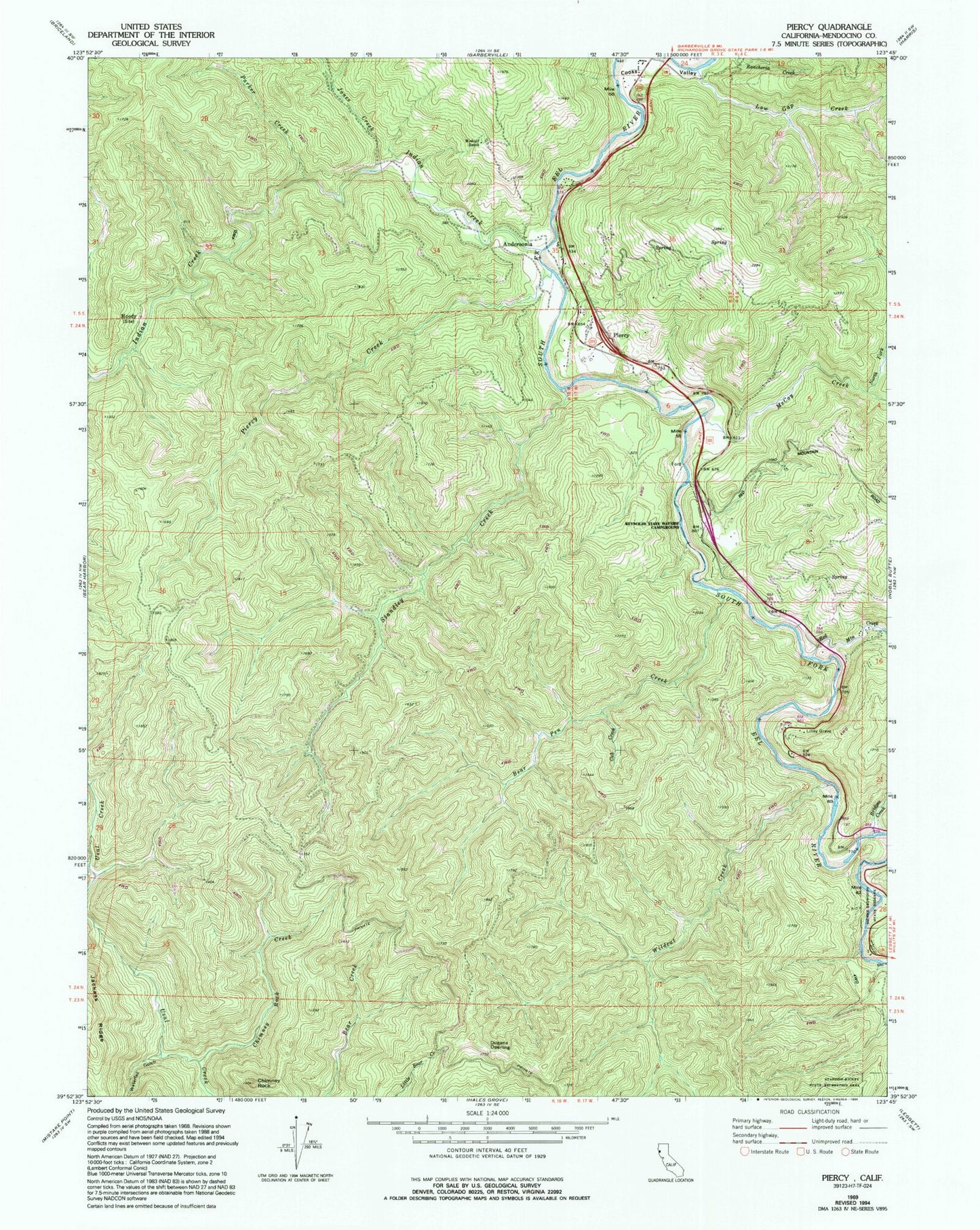
Historical USGS topographic quad map of Piercy in the state of California. Typical map scale is 1:24,000, but may vary for certain years, if available. Print size: 24" x 27"
This quadrangle is in the following counties: Mendocino.
The map contains contour lines, roads, rivers, towns, and lakes. Printed on high-quality waterproof paper with UV fade-resistant inks, and shipped rolled.
Contains the following named places: Bear Pen Creek, Bridges Creek, Chimney Rock Creek, Cub Creek, Dora Creek, Dugans Opening, Frank and Bess Smithe Redwood Grove, Jones Creek, Minnie Stoddard Lilley Gravesite, Low Gap Creek, McCoy Creek, Medcalf Ranch, Moody, North Fork McCoy Creek, Parker Creek, Piercy Creek, Red Mountain Creek, Reynolds State Wayside Campground, Indian Creek, Standley Creek, Waterfall Gulch, Wildcat Creek, Andersonia, Chimney Rock, Piercy, Lane Redwood Flat (historical), Reynolds (historical), Rice Ranch, Piercy Fire Protection District