MyTopo
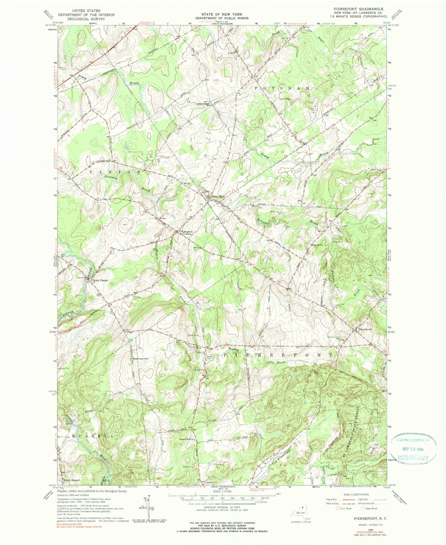
Classic USGS Pierrepont New York 7.5'x7.5' Topo Map
Couldn't load pickup availability
Historical USGS topographic quad map of Pierrepont in the state of New York. Map scale may vary for some years, but is generally around 1:24,000. Print size is approximately 24" x 27"
This quadrangle is in the following counties: St. Lawrence.
The map contains contour lines, roads, rivers, towns, and lakes. Printed on high-quality waterproof paper with UV fade-resistant inks, and shipped rolled.
Contains the following named places: Baldwin Branch, Beach Plains Church, Boyden Brook, Brick Chapel, Brick Chapel Church, Crary Mills, Giffins Corners School, Langdon Corners, Leet Cemetery, Leonard Brook, Maple Leaf Farm, North Russell, Pierrepoint Volunteer Fire Company, Pierrepont, Pierrepont Hill Cemetery, Taylor Creek, Town of Pierrepont, Waterman Hill, White Church Cemetery, WSLU-FM (Canton), WVNC-FM (Canton)