MyTopo
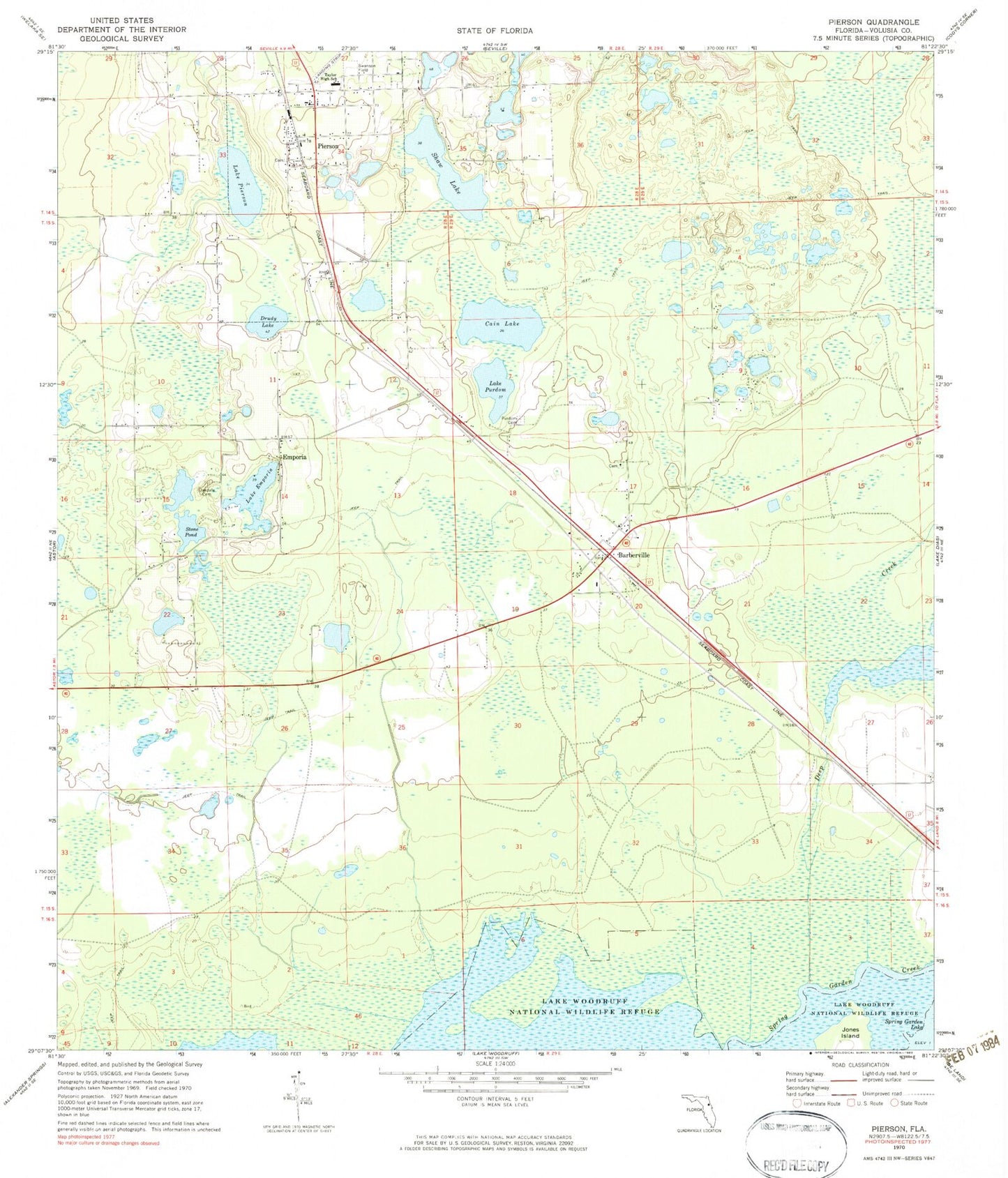
Classic USGS Pierson Florida 7.5'x7.5' Topo Map
Couldn't load pickup availability
Historical USGS topographic quad map of Pierson in the state of Florida. Map scale may vary for some years, but is generally around 1:24,000. Print size is approximately 24" x 27"
This quadrangle is in the following counties: Volusia.
The map contains contour lines, roads, rivers, towns, and lakes. Printed on high-quality waterproof paper with UV fade-resistant inks, and shipped rolled.
Contains the following named places: Abundant Life Fellowship, Barbersville Cemetery, Barberville, Barberville Post Office, Cain Lake, Camp Ticochee Girl Scout Camp, Communion Christian Assembly, Conrad, Deep Creek, Drudy Lake, Ebenezer Lutheran Cemetery, Ebenezer Lutheran Church, Eldridge, Emporia, Emporia Baptist Church, First Baptist Church of Barbersville, First Baptist Church of Pierson, First Church of God, Iglesia Misionaria de Pierson, Lake Emporia, Lake Pierson, Lake Purdom, Lungren Cemetery, McDowell and Black Grant, Methodist Cemetery, Midway Methodist Cemetery, Mount Zion Primitive Baptist Cemetery, Oakdale Cemetery, Pierson, Pierson Elementary School, Pierson Municipal Airport, Pierson Post Office, Pierson Public Library, Pierson Town Hall, Pierson Town Park Sports Complex, Pierson United Methodist Church, Pierson-Seville Division, Progress Energy Barbersville Substation, Purdom Cemetery, Saint Peters Catholic Church San Jose Mission, San Jose Catholic Mission, Shaw Lake, Stone Pond, Swanson Field, T Dewitt Taylor Middle - High School, The Church of God of Prophecy, The Sanctuary, Town of Pierson, Town of Pierson Water Tower, Volusia County Fire Services Station 44 Pierson, Volusia County Public Library System Pierson Public Library, Volusia County Sheriff's Law Enforcement Services Office District 2A Pierson Substation, ZIP Code: 32180


