MyTopo
Classic USGS Pierson Iowa 7.5'x7.5' Topo Map
Couldn't load pickup availability
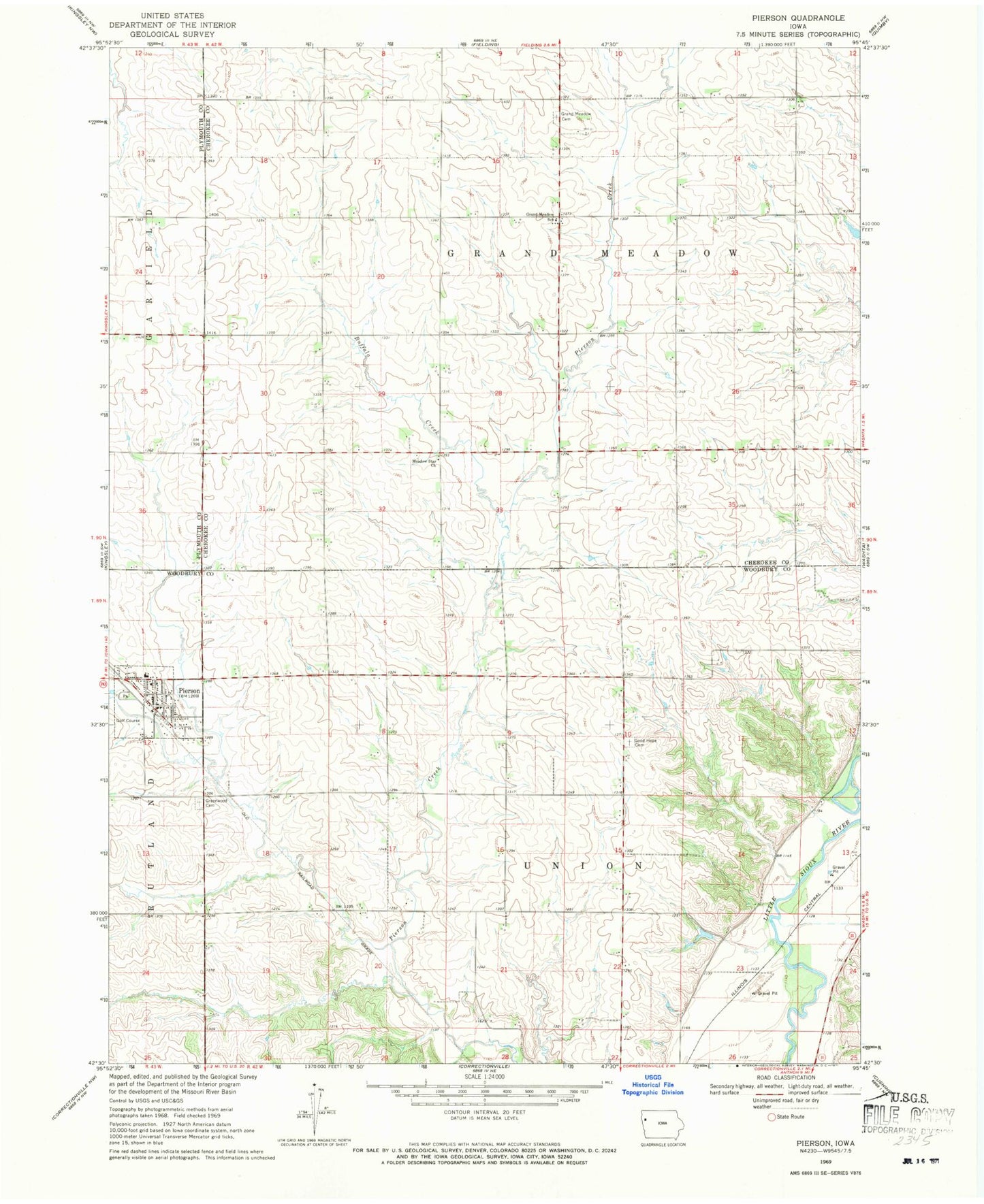
Historical USGS topographic quad map of Pierson in the state of Iowa. Map scale may vary for some years, but is generally around 1:24,000. Print size is approximately 24" x 27"
This quadrangle is in the following counties: Cherokee, Plymouth, Woodbury.
The map contains contour lines, roads, rivers, towns, and lakes. Printed on high-quality waterproof paper with UV fade-resistant inks, and shipped rolled.
Contains the following named places: Buffalo Creek, Christian Church, City of Pierson, D F B Farms, Good Hope Cemetery, Grand Meadow Cemetery, Grand Meadow School, Greenwood Cemetery, Kingsley - Pierson Middle School, Meadow Star Church, Pierson, Pierson City Hall, Pierson Fire Department, Pierson Library, Pierson Post Office, Pierson United Methodist Church, Three D Farm, Township of Grand Meadow, Township of Union, Trapp Farms, ZIP Code: 51048