MyTopo
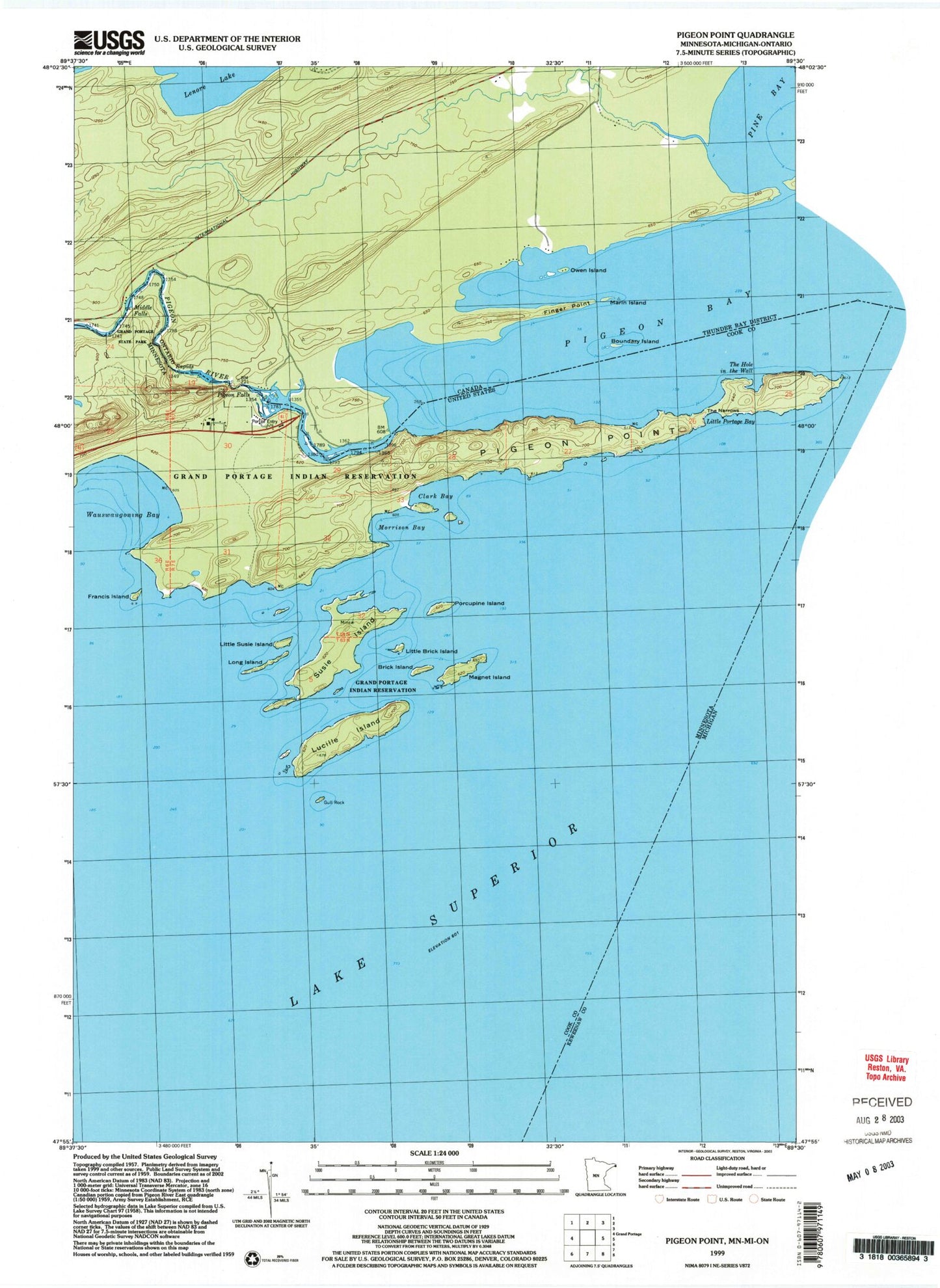
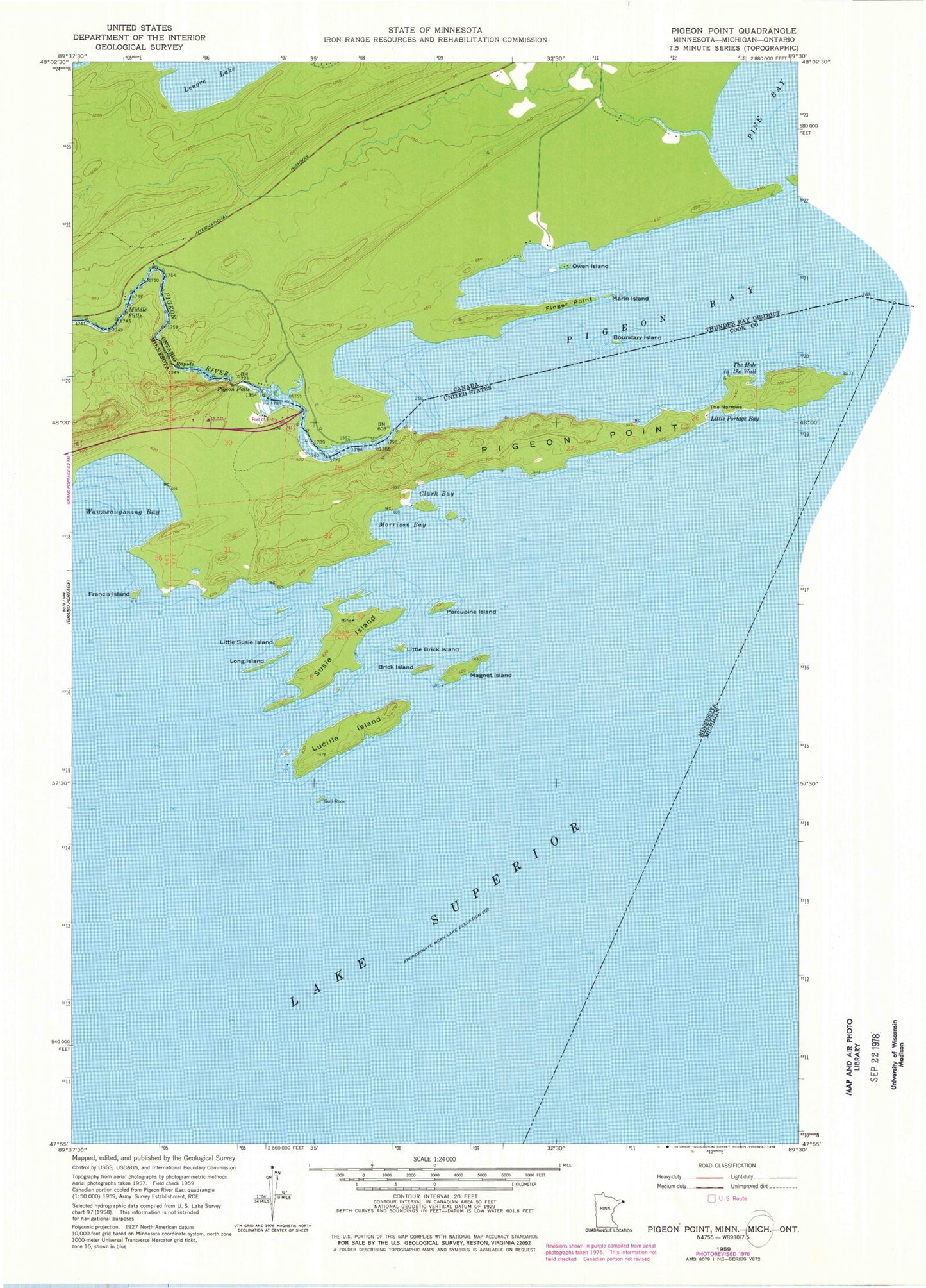
Classic USGS Pigeon Point Minnesota 7.5'x7.5' Topo Map
Couldn't load pickup availability
Historical USGS topographic quad map of Pigeon Point in the state of Minnesota. Map scale may vary for some years, but is generally around 1:24,000. Print size is approximately 24" x 27"
This quadrangle is in the following counties: Cook, Keweenaw.
The map contains contour lines, roads, rivers, towns, and lakes. Printed on high-quality waterproof paper with UV fade-resistant inks, and shipped rolled.
Contains the following named places: Brick Island, Clark Bay, Francis Island, Grand Portage State Park, Gull Rock, Little Brick Island, Little Portage Bay, Little Susie Island, Long Island, Lucille Island, Magnet Island, Middle Falls, Minnesota's Northern Border Historical Marker, Morrison Bay, Pigeon Bay, Pigeon Falls, Pigeon Point, Pigeon River, Porcupine Island, Susie Island, The Hole in the Wall, The Narrows, United States Customs and Border Protection - Port of Entry - Grand Portage