MyTopo
Classic USGS Piggott Arkansas 7.5'x7.5' Topo Map
Couldn't load pickup availability
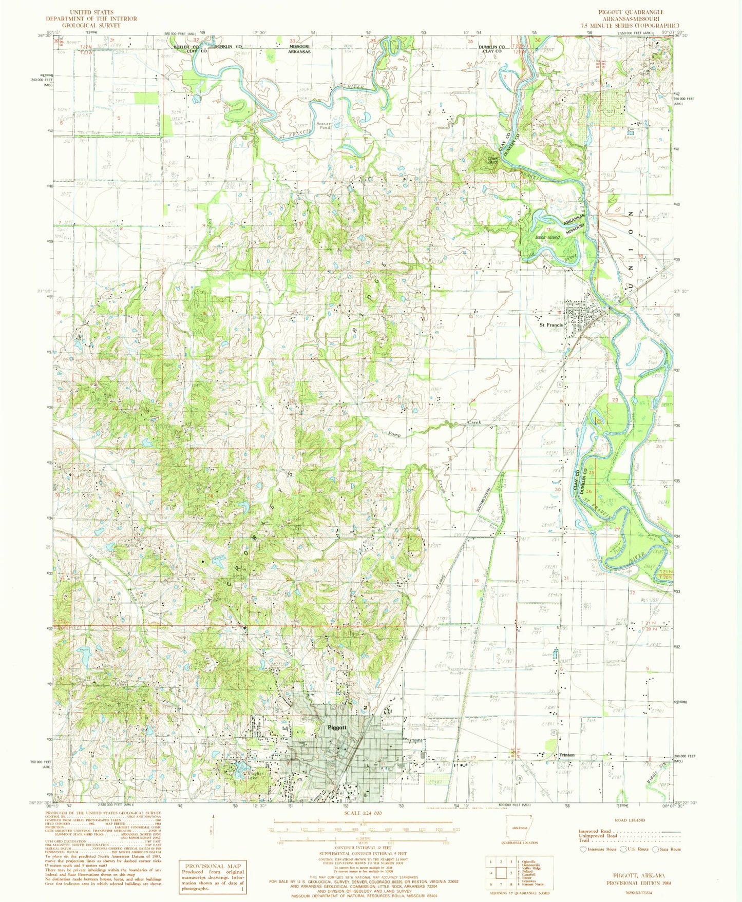
Historical USGS topographic quad map of Piggott in the states of Arkansas, Missouri. Map scale may vary for some years, but is generally around 1:24,000. Print size is approximately 24" x 27"
This quadrangle is in the following counties: Butler, Clay, Dunklin.
The map contains contour lines, roads, rivers, towns, and lakes. Printed on high-quality waterproof paper with UV fade-resistant inks, and shipped rolled.
Contains the following named places: Bass Island, Beaver Pond, Chalk Bluff, City of Piggott, City of Saint Francis, Clay County Courthouse, Clay County Fairgrounds, Clay County Sheriff's Office, Cole Lake, Cole Lake Dam, Crowleys Ridge, Friendship Church, Gravel Hill Cemetery, Gravel Hill Church, Gravel Hill School, Harwood Church, Harwood School, Hill Cemetery, Hill Church, Hitt School, Hitts Church, Horse Creek, Hughes Lake, Hughes Lake Dam, Langley Church, Langley School, Little Flock Cemetery, Mann School, McNie Creek, Moore Lake, Moore Lake Dam, Mount Zion Church, Old River, Piggott, Piggott City Hall, Piggott Community Hospital, Piggott Community Hospital Heliport, Piggott Elementary School, Piggott Fire Department, Piggott High School, Piggott Library, Piggott Middle School, Piggott Municipal Airport, Piggott Police Department, Piggott Post Office, Piggott Volunteer Fire Department Station 2, Pomp Creek, Poplar Creek, Rocky Hill Cemetery, Saint Francis, Saint Francis Post Office, Saint Francis Volunteer Fire Department, Sugar Creek, Township of Chalk Bluff, Township of Chalk Bluff-Liddell, Township of Liddell, Township of North Saint Francis, Township of Saint Francis, Trinnon, Wanderers Home Church, Whitaker Cut-off, Whitaker Place, Wrights Chapel, ZIP Codes: 72454, 72464


