
MyTopo
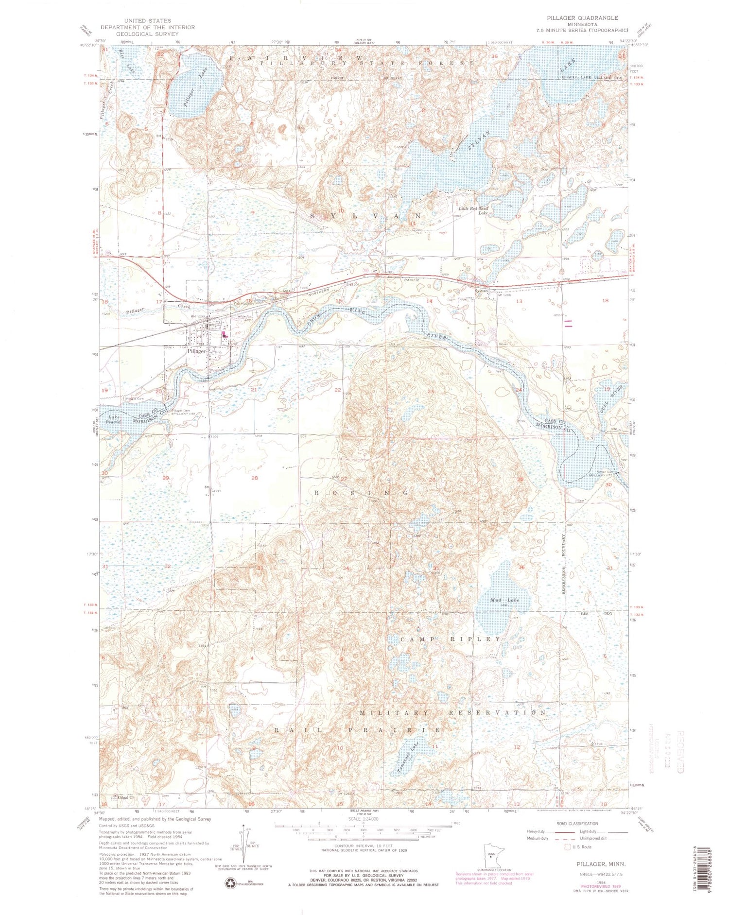
Classic USGS Pillager Minnesota 7.5'x7.5' Topo Map
Couldn't load pickup availability
Historical USGS topographic quad map of Pillager in the state of Minnesota. Typical map scale is 1:24,000, but may vary for certain years, if available. Print size: 24" x 27"
This quadrangle is in the following counties: Cass, Morrison.
The map contains contour lines, roads, rivers, towns, and lakes. Printed on high-quality waterproof paper with UV fade-resistant inks, and shipped rolled.
Contains the following named places: Franzon School, Gilgal Church, Gull River, Little Red Sand Lake, Mud Lake, Pillager, Pillager Cemetery, Pillager Creek, Pillager Dam, Pillager Lake, Rice Lake, School Number 107, Sylvan Dam, Sylvan Lake, Tamarack Lake, Wildwood Cemetery, Sylvan, Township of Rosing, Township of Sylvan, Sylvan Dam, Crow Wing River Dam, Franzen Family Cemetery, Mrs Albert Schultz Grave, Crow Wing River Cemetery, Rail Prairie Union Cemetery, Sylvan Cemetery, Sylvan, First Lutheran Church, Pillager, Pillager Post Office, Pillager Area Fire and Rescue Station 1, Pillager Assemblies of God Church, Peaks Charter School, First Baptist Church, Pillager Elementary School, Sylvan Post Office (historical), City of Pillager, Pillager City Police Department


