MyTopo
Classic USGS Pillow Pennsylvania 7.5'x7.5' Topo Map
Couldn't load pickup availability
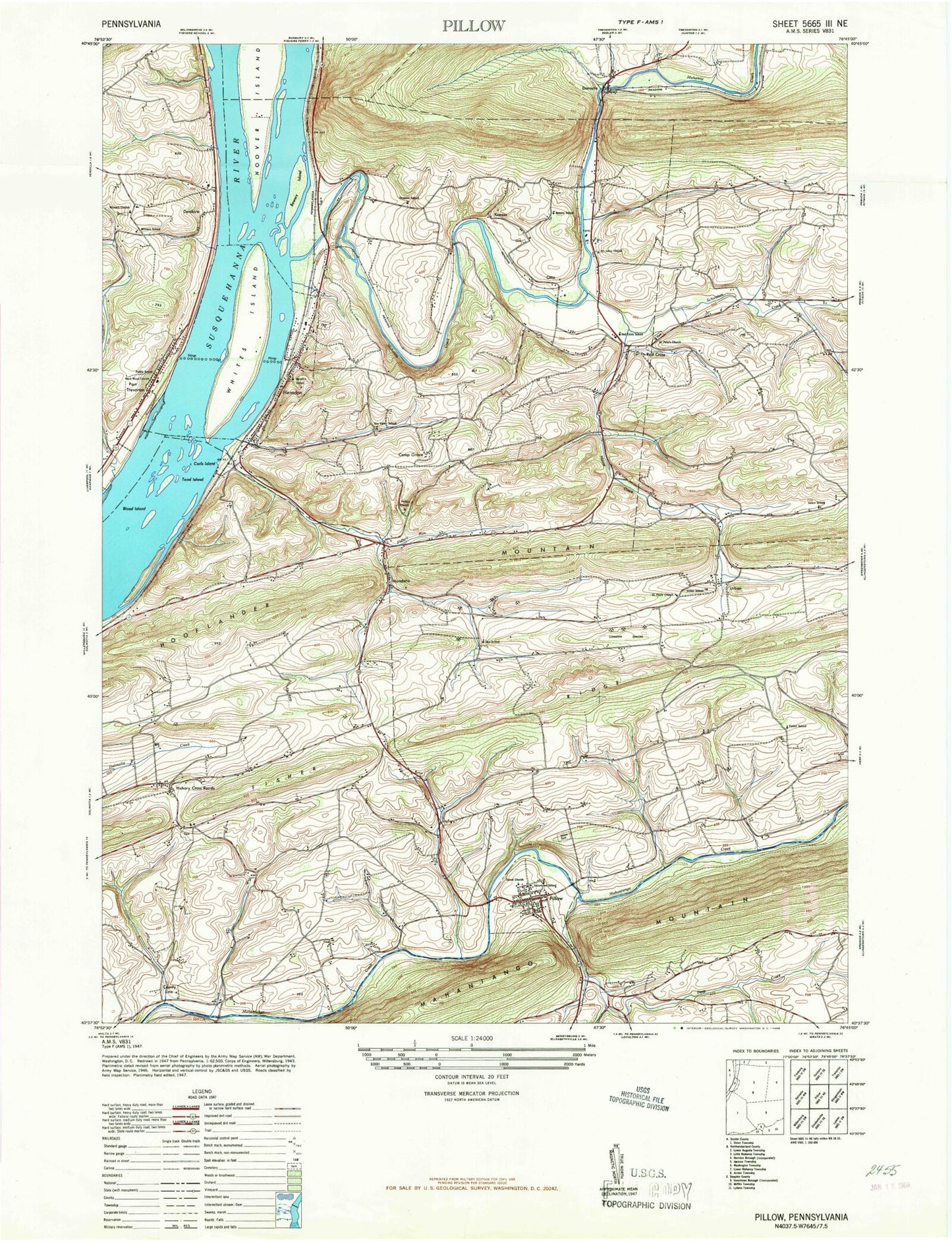
Historical USGS topographic quad map of Pillow in the state of Pennsylvania. Map scale may vary for some years, but is generally around 1:24,000. Print size is approximately 24" x 27"
This quadrangle is in the following counties: Dauphin, Northumberland, Snyder.
The map contains contour lines, roads, rivers, towns, and lakes. Printed on high-quality waterproof paper with UV fade-resistant inks, and shipped rolled.
Contains the following named places: Americus Hose Company Ambulance Station 5 - 4 - 1, Blood Island, Borough of Herndon, Borough of Pillow, Bowers Island, Burd-Roger Memorial Home, Camp Meeting Grove, Carls Island, County Line, Deep Creek, Dornsife, Dornsife Gap, Dornsife Post Office, Dundore, Fidlers Run, Fisher Ridge, Flying Eagle Airport, Forest School, Gods Missionary Cemetery, Grace Community Church, Grand View Cemetery, Herndon, Herndon Fire Company Station 63, Herndon Post Office, Herrold Run, Hickory Corners, Hickory Corners and Community Fire Company Station 64, Hooflander Mountain, Hoover Island, Kellers Landing Strip, Kneass, Line Mountain High School, Mahanoy Creek, Mahantango Mountain, Mandata, Mouse Creek, Otto, Peifers Church, Pillow, Pillow Fire Company Station 28, Pillow Post Office, Port Trevorton, Port Trevorton Fire Company Station 60, Port Trevorton Post Office, Red Cross, Saint John's Lutheran Cemetery, Saint Pauls Church, Saint Peters Church, Salem Church, Schwaben Creek, Seibert Church, Silver Creek, State Game Lands Number 223, Toad Island, Township of Jackson, Township of Jordan, Trinity Church, Urban, Whites Island, Zion Church, ZIP Codes: 17080, 17823, 17830


