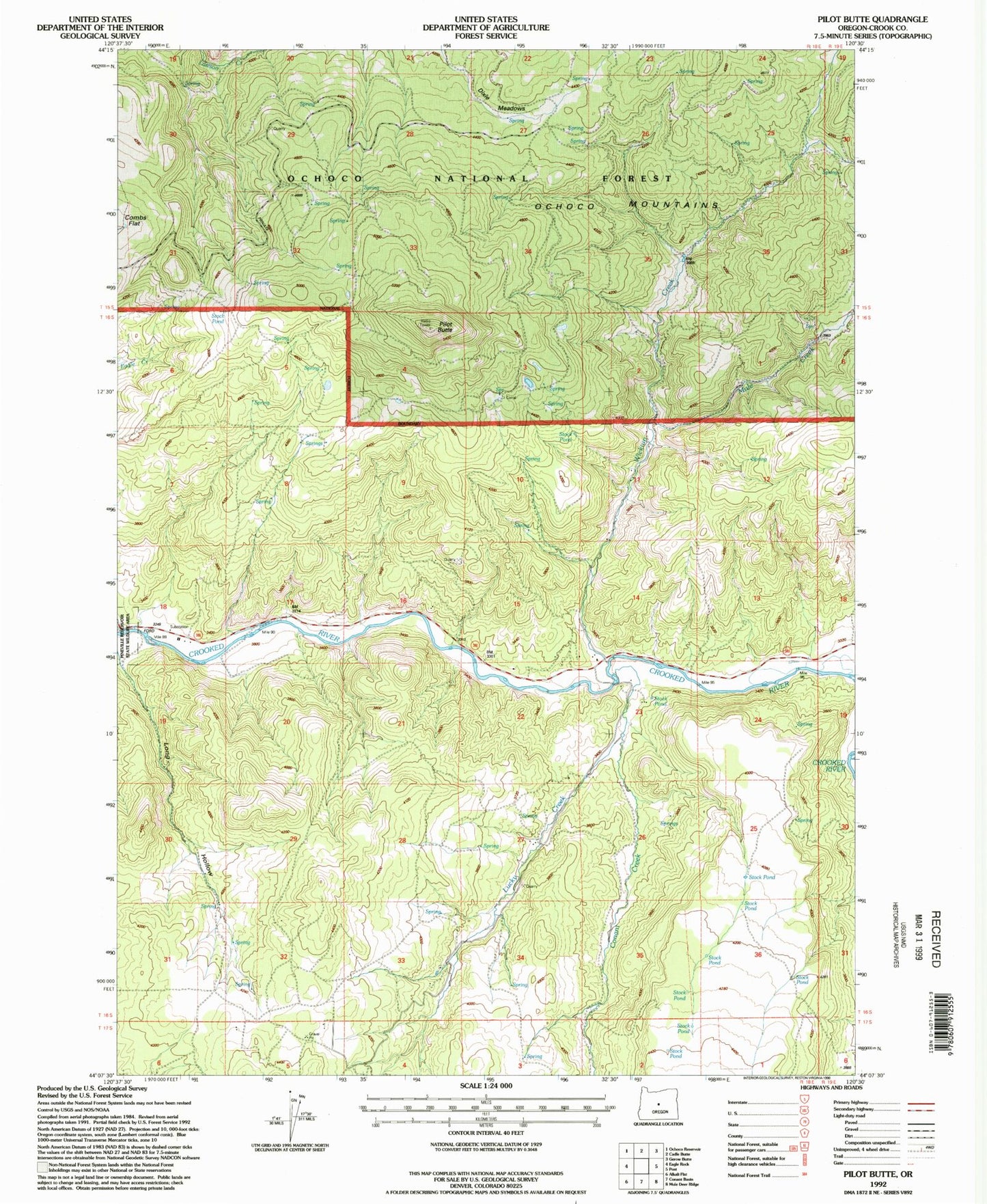
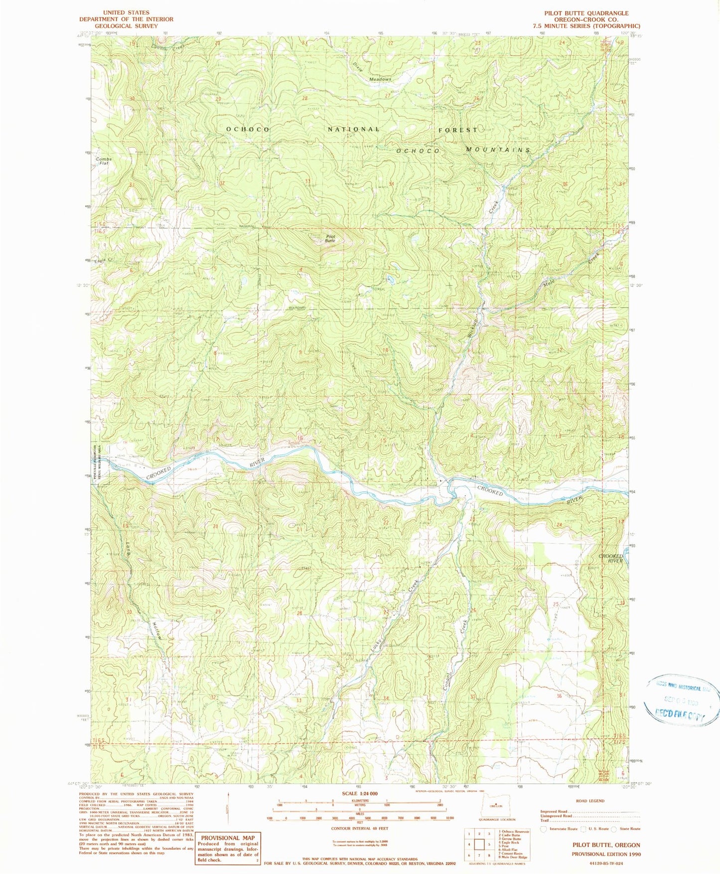
MyTopo
Classic USGS Pilot Butte Oregon 7.5'x7.5' Topo Map
Regular price
$16.95
Regular price
Sale price
$16.95
Unit price
per
Couldn't load pickup availability
Historical USGS topographic quad map of Pilot Butte in the state of Oregon. Map scale may vary for some years, but is generally around 1:24,000. Print size is approximately 24" x 27"
This quadrangle is in the following counties: Crook.
The map contains contour lines, roads, rivers, towns, and lakes. Printed on high-quality waterproof paper with UV fade-resistant inks, and shipped rolled.
Contains the following named places: Box Canyon, Conant Creek, Knox Spring, Lucky Creek, Mule Creek, Pilot Butte, Porfily Ranch, Prineville Reservoir State Park, Riverside Ranch, Shorty Davis Ranch, Sunny Slope Springs, Wickiup Creek, ZIP Code: 97754