MyTopo
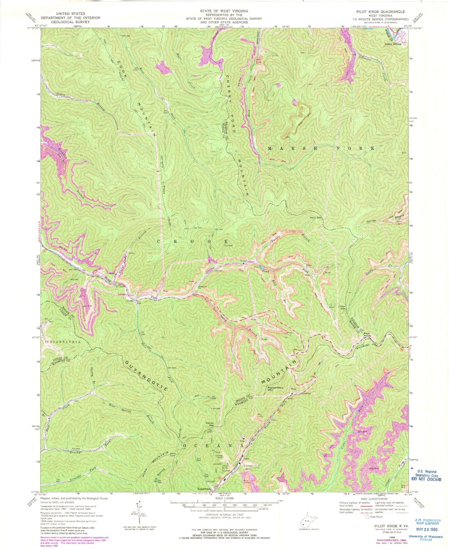
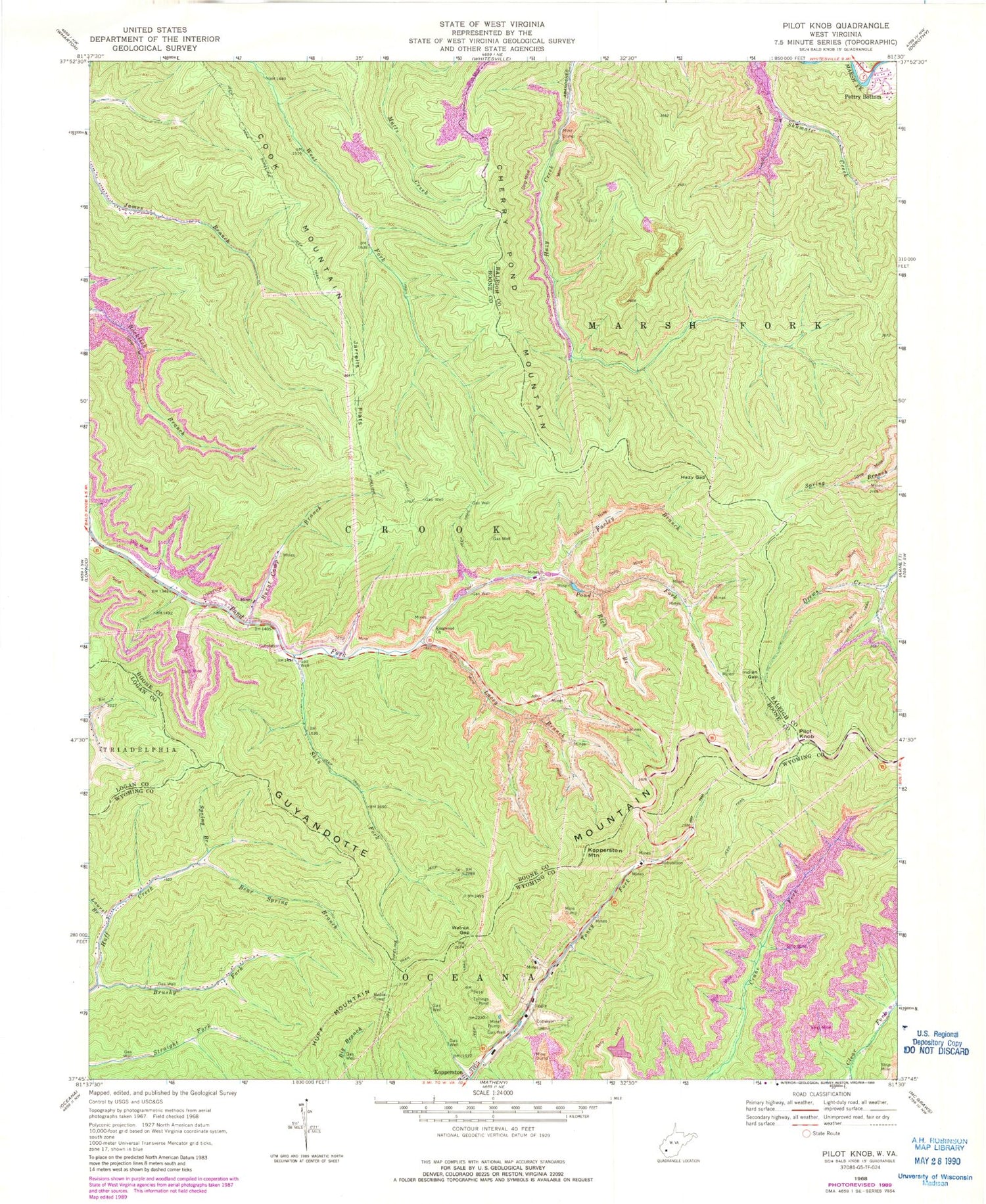
Classic USGS Pilot Knob West Virginia 7.5'x7.5' Topo Map
Couldn't load pickup availability
Historical USGS topographic quad map of Pilot Knob in the state of West Virginia. Map scale may vary for some years, but is generally around 1:24,000. Print size is approximately 24" x 27"
This quadrangle is in the following counties: Boone, Logan, Raleigh, Wyoming.
The map contains contour lines, roads, rivers, towns, and lakes. Printed on high-quality waterproof paper with UV fade-resistant inks, and shipped rolled.
Contains the following named places: Bear Spring Branch, Brushy Fork, Burnt Camp Branch, Cherry Pond Mountain, Cook Mountain, Echart, Farley Branch, Hazy Gap, Indian Gap, Jarrells Flats, Jarrells Ridge, Jarrolds Field, Johns Branch Number One Dam, Johns Branch Number Two Dam, Kimbrell Water Works Spring, Kingwood Church, Kopperston Census Designated Place, Kopperston Mountain, Kopperston Number Four Slurry Pond, Kopperston Number Three Impoundment Number One, Lacey Branch, Laurel Branch, Low Gap Branch Number Two Impoundment, Low Gap Branch Two Impoundment Dam, Mill Branch Coal Refuse Dam, Pettry Bottom, Pilot Knob, Rich Branch, Skin Fork, Spring Branch, Walnut Gap, ZIP Code: 24870


