MyTopo
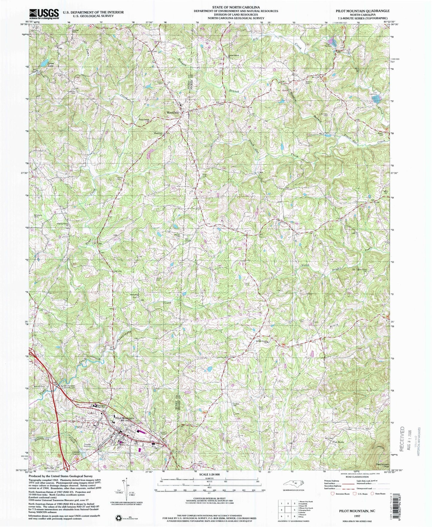
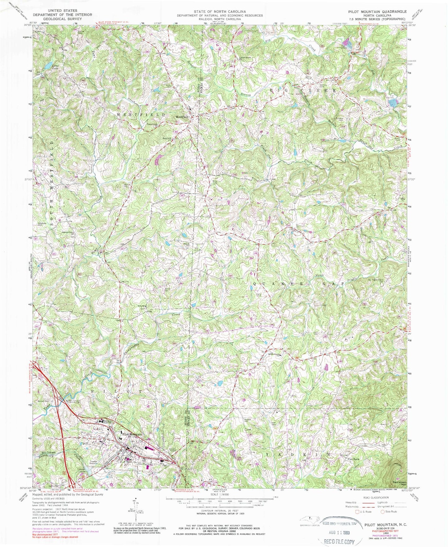
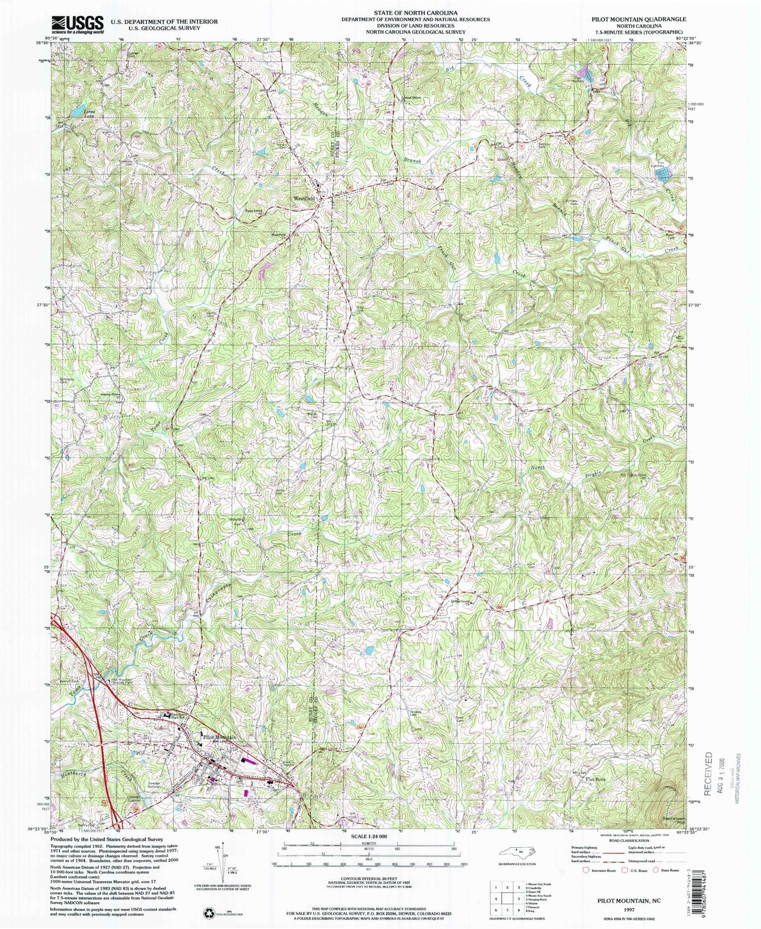
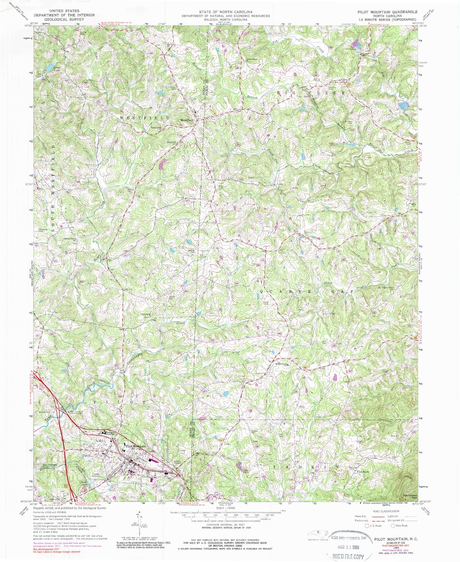
Classic USGS Pilot Mountain North Carolina 7.5'x7.5' Topo Map
Couldn't load pickup availability
Historical USGS topographic quad map of Pilot Mountain in the state of North Carolina. Map scale may vary for some years, but is generally around 1:24,000. Print size is approximately 24" x 27"
This quadrangle is in the following counties: Stokes, Surry.
The map contains contour lines, roads, rivers, towns, and lakes. Printed on high-quality waterproof paper with UV fade-resistant inks, and shipped rolled.
Contains the following named places: Bales Mill, Balls Mill, Beasley Cemetery, Bennett Cemetery, Brims Grove, Brims Grove Baptist Church, Brims Grove Cemetery, Bryants Fork, Chinquapin Creek, Cobler Cemetery, Double Creek Volunteer Fire and Rescue, Durham Cemetery, East Surry High School, Flat Rock, Flat Rock School, Hills Bloomery Forge, Hills Chapel Cemetery, Hills Church, Hills Grove, Hunter Cemetery, Inman Cemetery, James Nunn Cemetery, Jessup Cemetery, Jessups Grove Baptist Church, Jessups Grove Cemetery, John Denny Cemetery, Johnstown, Joyce Cemetery, Joyce Family Cemetery, Locust Grove Church, Loves Lake, Loves Pond Dam, Meadow Branch, Mica Pit, Mills Cemetery, Old Westfield Academy, Owen Cemetery, Pell Lake, Pell Lake Dam, Pilot Elementary School, Pilot Knob Volunteer Fire Department, Pilot Mountain, Pilot Mountain City Cemetery, Pilot Mountain Filtration Plant, Pilot Mountain Police Department, Pilot Mountain Post Office, Pilot Mountain Recreation Facility, Pilot Mountain Rescue Squad and Emergency Medical Services, Simmons Cemetery, Simmons Family Cemetery, Surry County Emergency Services Station 4, Toms Creek Church, Toms Creek Furnace, Town of Pilot Mountain, Township of Pilot, Venable Cemetery, Waugh Cemetery, Westfield, Westfield Baptist Church, Westfield Church, Westfield Elementary School, Westfield Friends Cemetery, Westfield High School, Westfield Post Office, Westfield Volunteer Fire Department, Wilsons Store, Worths Forge, ZIP Code: 27041


