MyTopo
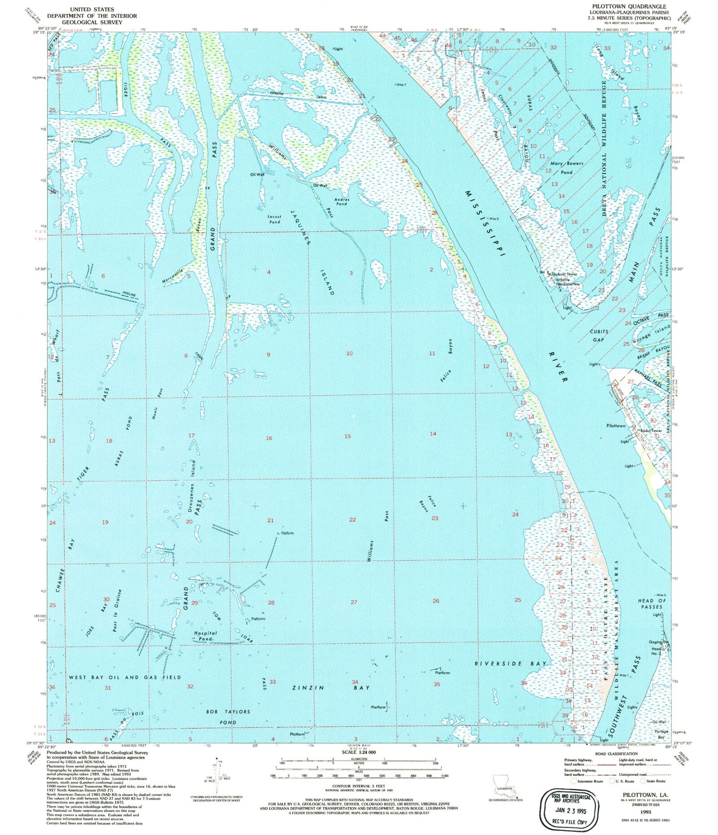
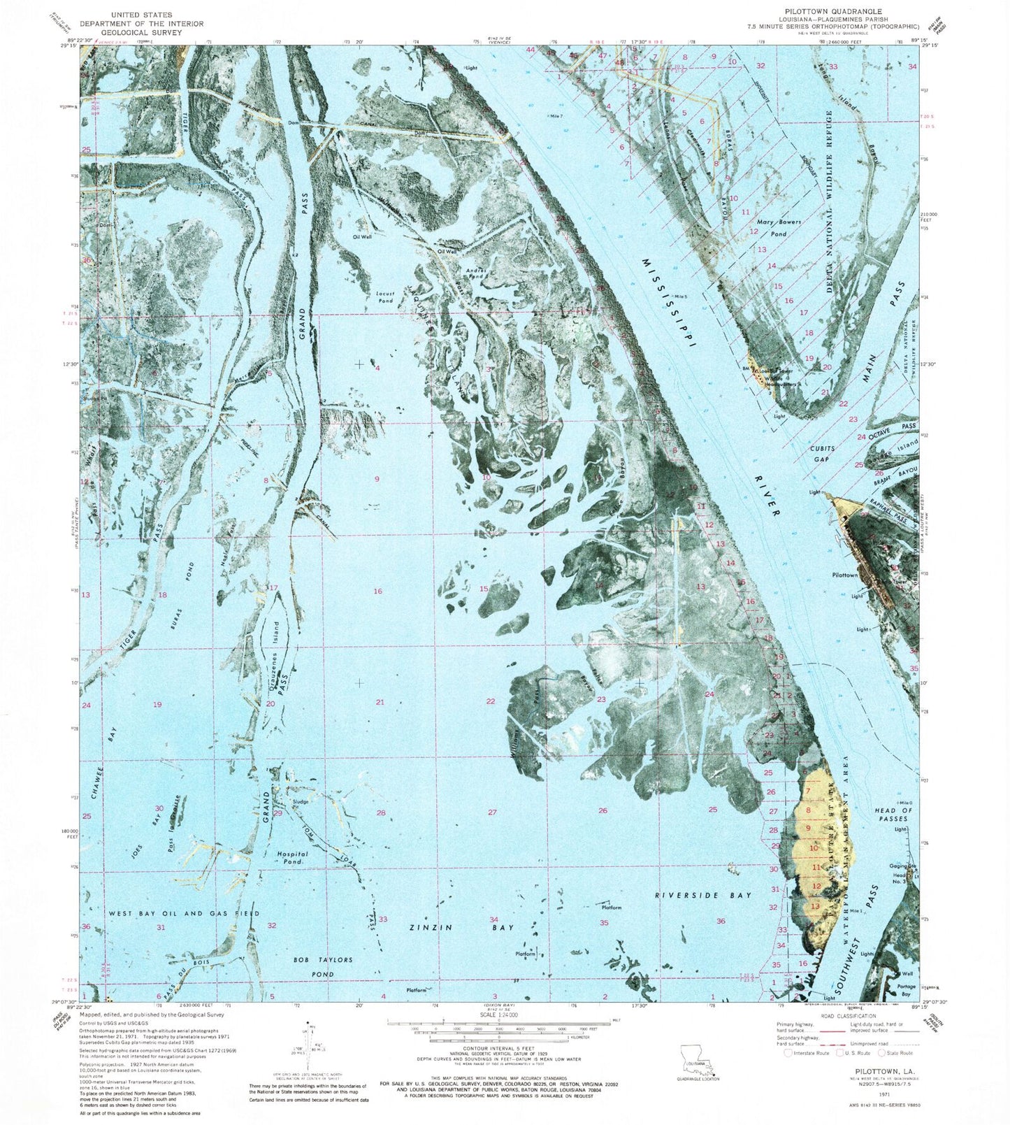
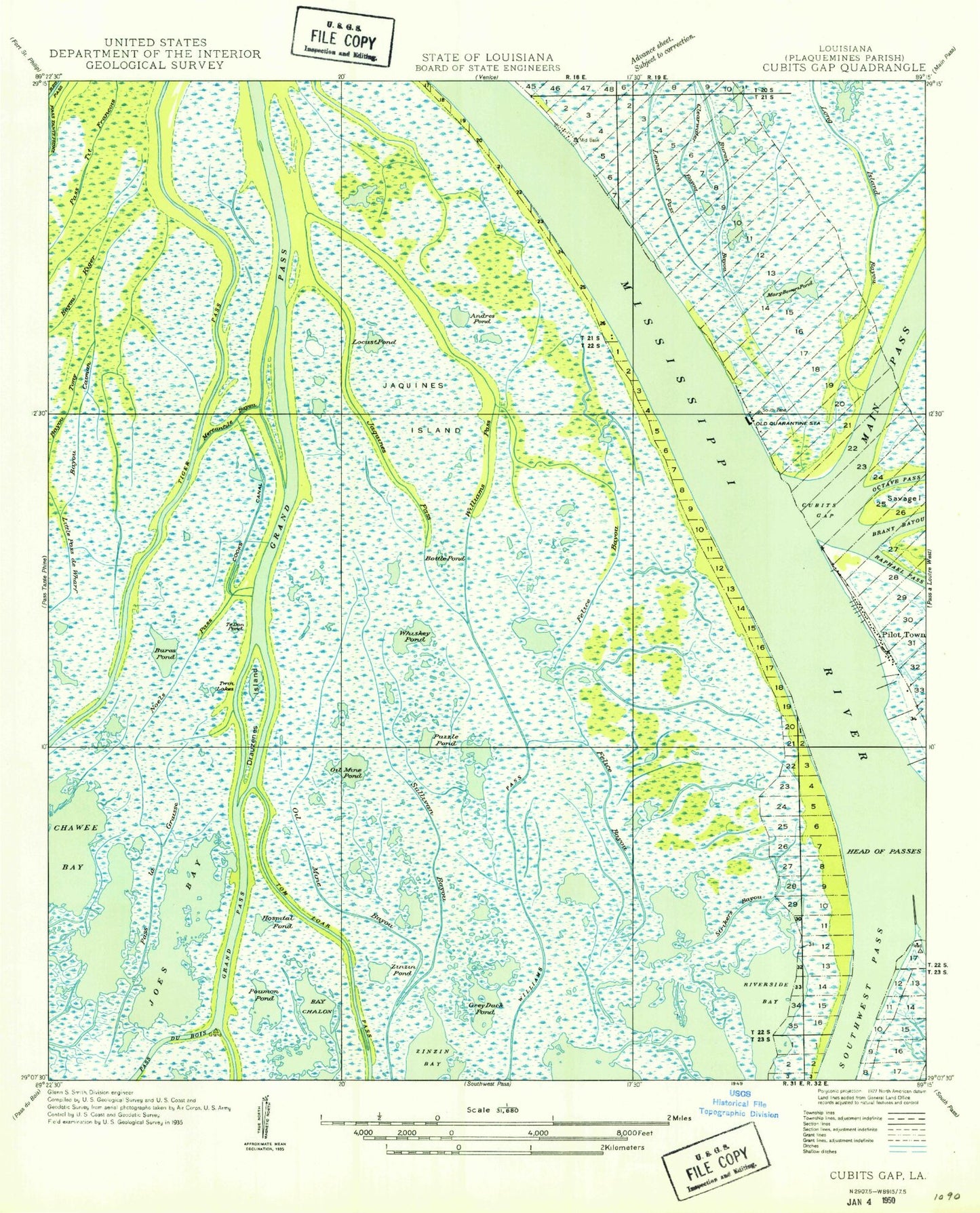
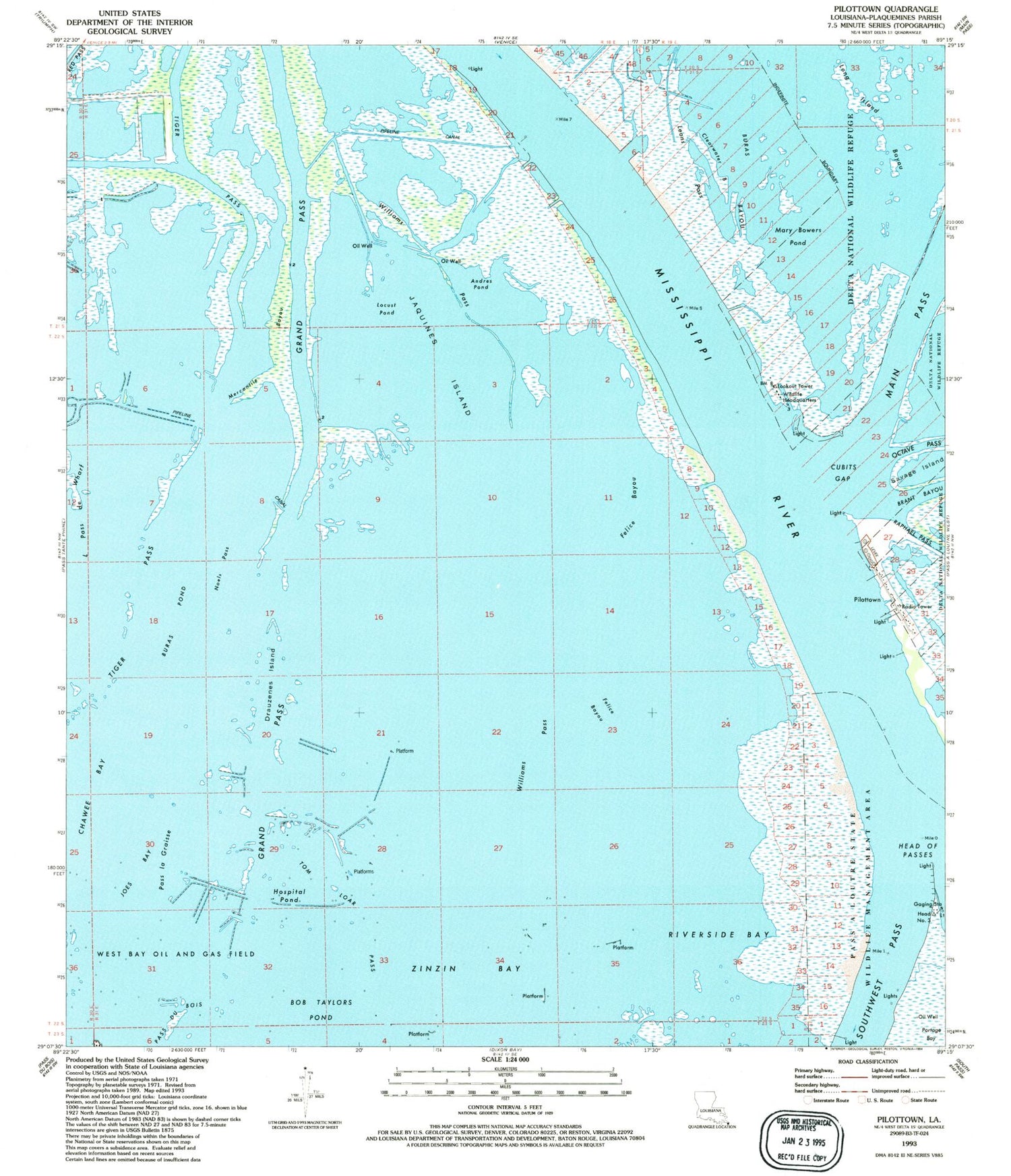
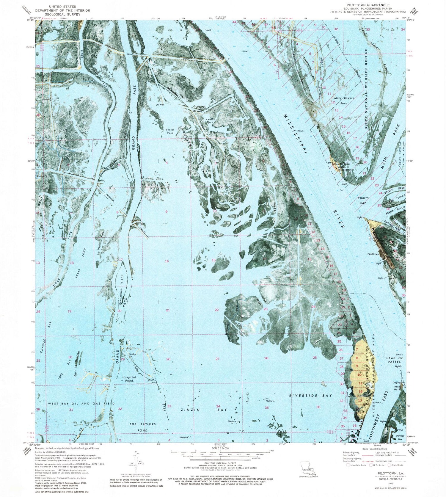
Classic USGS Pilottown Louisiana 7.5'x7.5' Topo Map
Couldn't load pickup availability
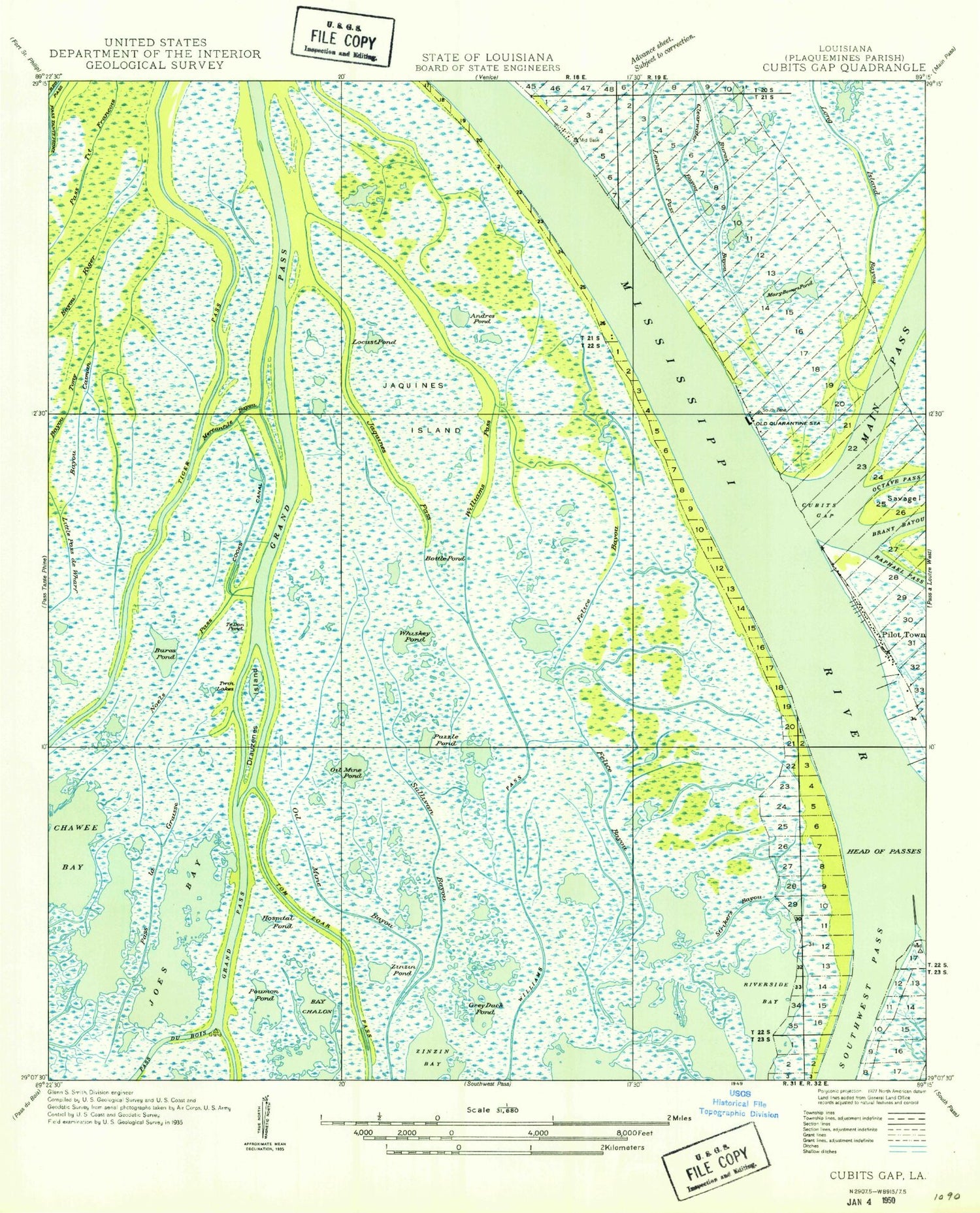
Historical USGS topographic quad map of Pilottown in the state of Louisiana. Map scale may vary for some years, but is generally around 1:24,000. Print size is approximately 24" x 27"
This quadrangle is in the following counties: Plaquemines.
The map contains contour lines, roads, rivers, towns, and lakes. Printed on high-quality waterproof paper with UV fade-resistant inks, and shipped rolled.
Contains the following named places: Andres Pond, Bay Chalon, Bayou Caiman, Bottle Pond, Buras Pond, Chawee Bay, Clearwater Bayou, Cooks Canal, Cubits Gap Lighthouse, Drauzenes Island, Felice Bayou, Grand Pass, Head of Passes Lighthouse, Hospital Pond, Jaquines Island, Jaquines Pass, Joes Bay, Leons Pass, Little Pass de Wharf, Locust Pond, Long Island Bayou, Mary Bowers Pond, Mercantile Bayou, Mississippi River, Mississippi River Delta, Noels Pass, Oil Mine Bayou, Pass La Graisse, Pilottown, Pilottown Post Office, Portage Bay, Riverside Bay, Savage Island, Sullivan Bayou, Te Don Pond, Tiger Pass, Tom Loar Pass, Twin Lakes, Williams Pass, Zinzin Bay
