MyTopo
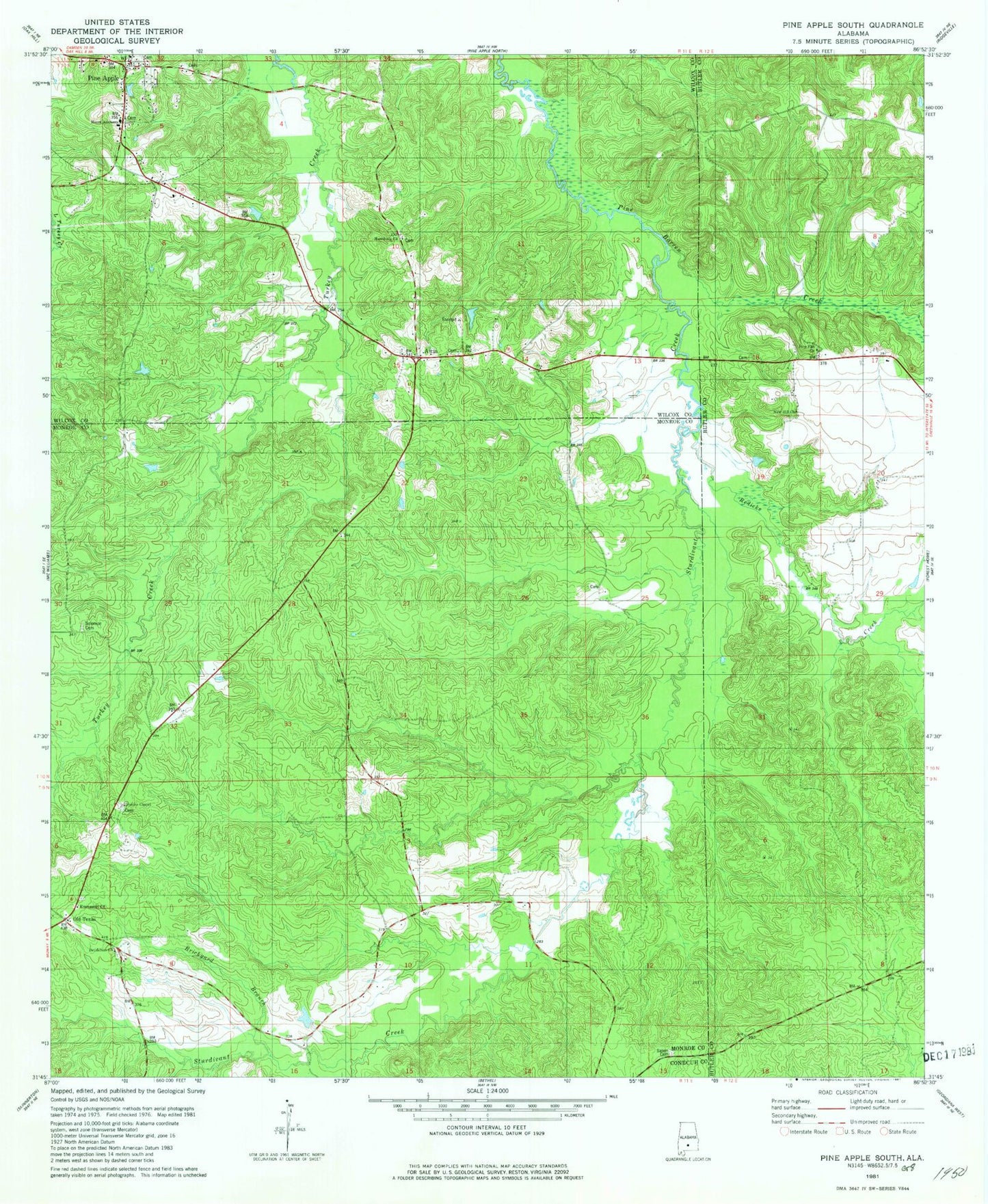
Classic USGS Pine Apple South Alabama 7.5'x7.5' Topo Map
Couldn't load pickup availability
Historical USGS topographic quad map of Pine Apple South in the state of Alabama. Map scale may vary for some years, but is generally around 1:24,000. Print size is approximately 24" x 27"
This quadrangle is in the following counties: Butler, Conecuh, Monroe, Wilcox.
The map contains contour lines, roads, rivers, towns, and lakes. Printed on high-quality waterproof paper with UV fade-resistant inks, and shipped rolled.
Contains the following named places: Awin, Awin Church, Barges Post Office, Bethlehem Cemetery, Bethlehem Methodist Church, Bethlehem School, Brickyard Branch, Emmanuel Church, Jenkins Chapel Cemetery, Jenkins Chapel Methodist Church, Macedonia Church, Moore Academy, New Hill Church, Pine Apple, Pine Apple Post Office, Pine Apple Volunteer Fire Department, Pine Flat Cemetery, Pine Flat Methodist Church, Pineflat, Pleasant Hill Church, Redicks Creek, Salem Cemetery, Salem Church, Simpkinsville, Solomon Cemetery, Sturdivant Creek, Town of Pine Apple, Watkins Store, ZIP Code: 36030