MyTopo
Classic USGS Pine Bluff NW Arkansas 7.5'x7.5' Topo Map
Couldn't load pickup availability
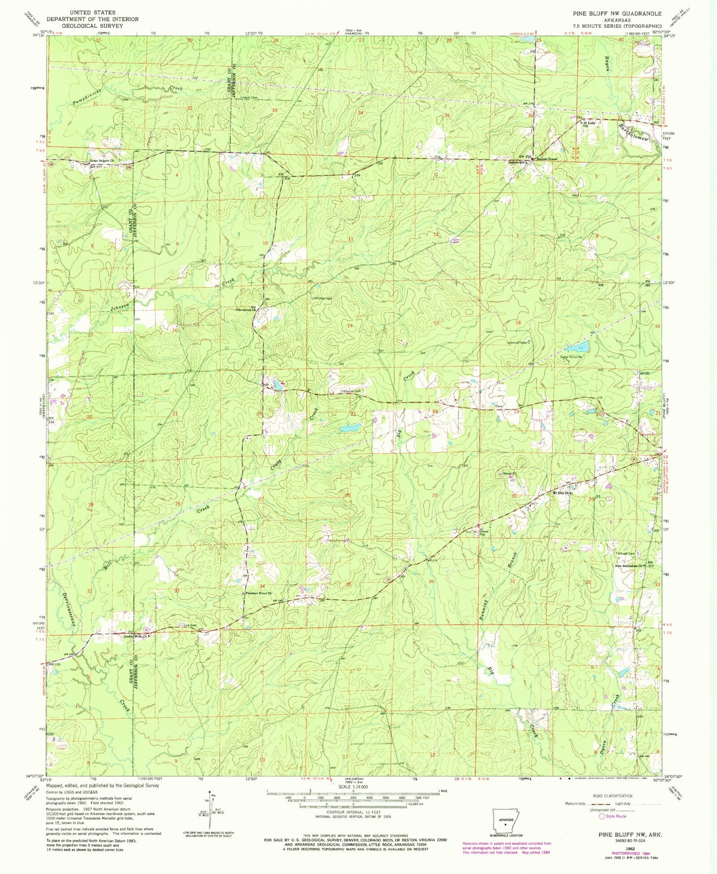
Historical USGS topographic quad map of Pine Bluff NW in the state of Arkansas. Map scale may vary for some years, but is generally around 1:24,000. Print size is approximately 24" x 27"
This quadrangle is in the following counties: Grant, Jefferson.
The map contains contour lines, roads, rivers, towns, and lakes. Printed on high-quality waterproof paper with UV fade-resistant inks, and shipped rolled.
Contains the following named places: Barnes Chapel, Barnes School, Branch Cemetery, Camp Ta-Lo-Ha, Camp Ta-Lo-Ha Lake Dam, Cedar Branch Church, Craig Creek, Darysaw, Double Wells, Double Wells Church, Fitzhugh Cemetery, Heutt Cemetery, Lee Cemetery, Mill Creek, Mount Zion Church, New Bethlehem Church, Phillips Cemetery, Pleasant Home Church, Providence Church, Robinson Lake, Robinson Lake Dam, Running Branch, Saint Luke Church, Sulphur Springs Census Designated Place, Ta-Lo-Ha-Lake, Township of Spring