MyTopo
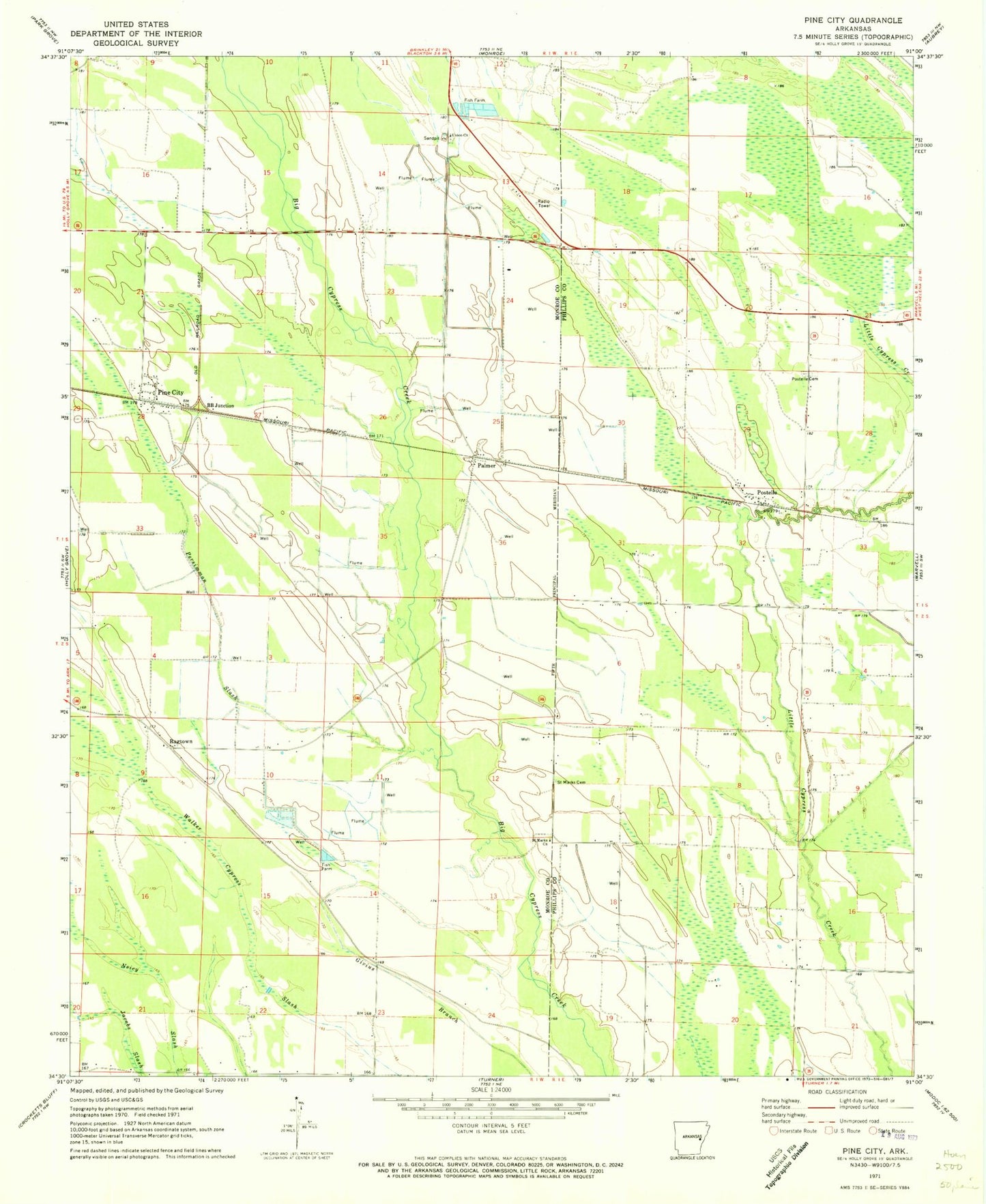
Classic USGS Pine City Arkansas 7.5'x7.5' Topo Map
Couldn't load pickup availability
Historical USGS topographic quad map of Pine City in the state of Arkansas. Map scale may vary for some years, but is generally around 1:24,000. Print size is approximately 24" x 27"
This quadrangle is in the following counties: Monroe, Phillips.
The map contains contour lines, roads, rivers, towns, and lakes. Printed on high-quality waterproof paper with UV fade-resistant inks, and shipped rolled.
Contains the following named places: B B Junction, Cypress Swamp, Long Grove Church, Palmer, Perman, Persimmon Slash, Pine City, Pine Hill Church, Postelle, Postelle Cemetery, Ragtown, Saint James Church, Saint Marks Cemetery, Saint Marks Church, Township of Cleburne, Township of Hicksville, Union Cemetery, Union Church, Union School, Walker Cypress Slash