MyTopo
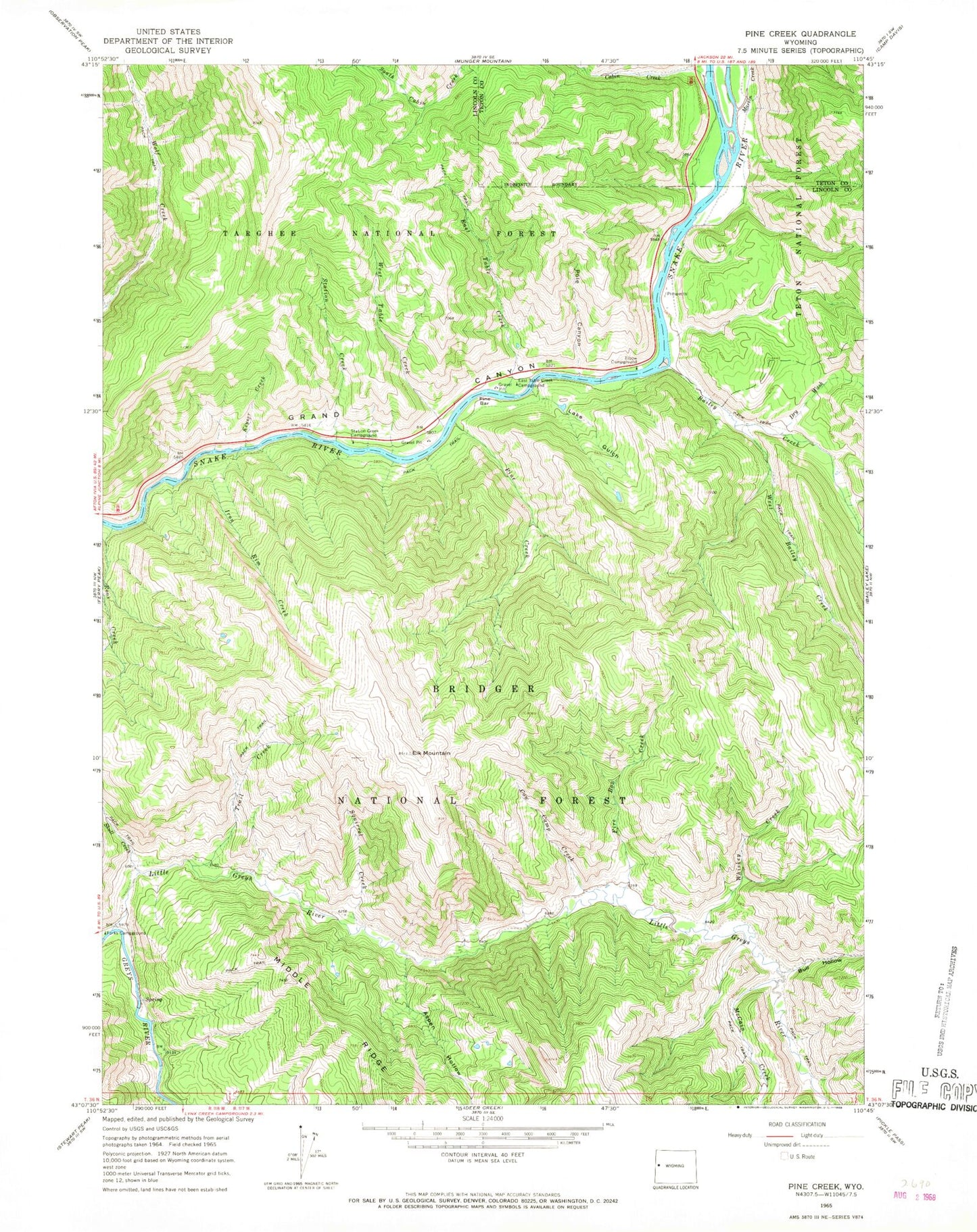
Classic USGS Pine Creek Wyoming 7.5'x7.5' Topo Map
Couldn't load pickup availability
Historical USGS topographic quad map of Pine Creek in the state of Wyoming. Typical map scale is 1:24,000, but may vary for certain years, if available. Print size: 24" x 27"
This quadrangle is in the following counties: Lincoln, Teton.
The map contains contour lines, roads, rivers, towns, and lakes. Printed on high-quality waterproof paper with UV fade-resistant inks, and shipped rolled.
Contains the following named places: Aspen Hollow, Bailey Creek, Bull Hollow, Cabin Creek, Cow Camp Creek, Dry Wash, East Table Creek, East Table Creek Campground, Elbow Campground (historical), Elk Mountain, Fire Box Creek, Iron Rim Creek, Keyser Creek, Lake Gulch, Little Greys River, Martin Creek, McCain Creek, Pine Bar, Pine Creek, Pole Canyon, Roos Creek, Skull Creek, Squirrel Creek, Station Creek, Station Creek Campground, Trail Creek, West Bailey Creek, West Table Creek, Whiskey Creek, East Elbow Campground, West Table Creek Boat Ramp, Davis Claim, Pine Bar Diggings