MyTopo
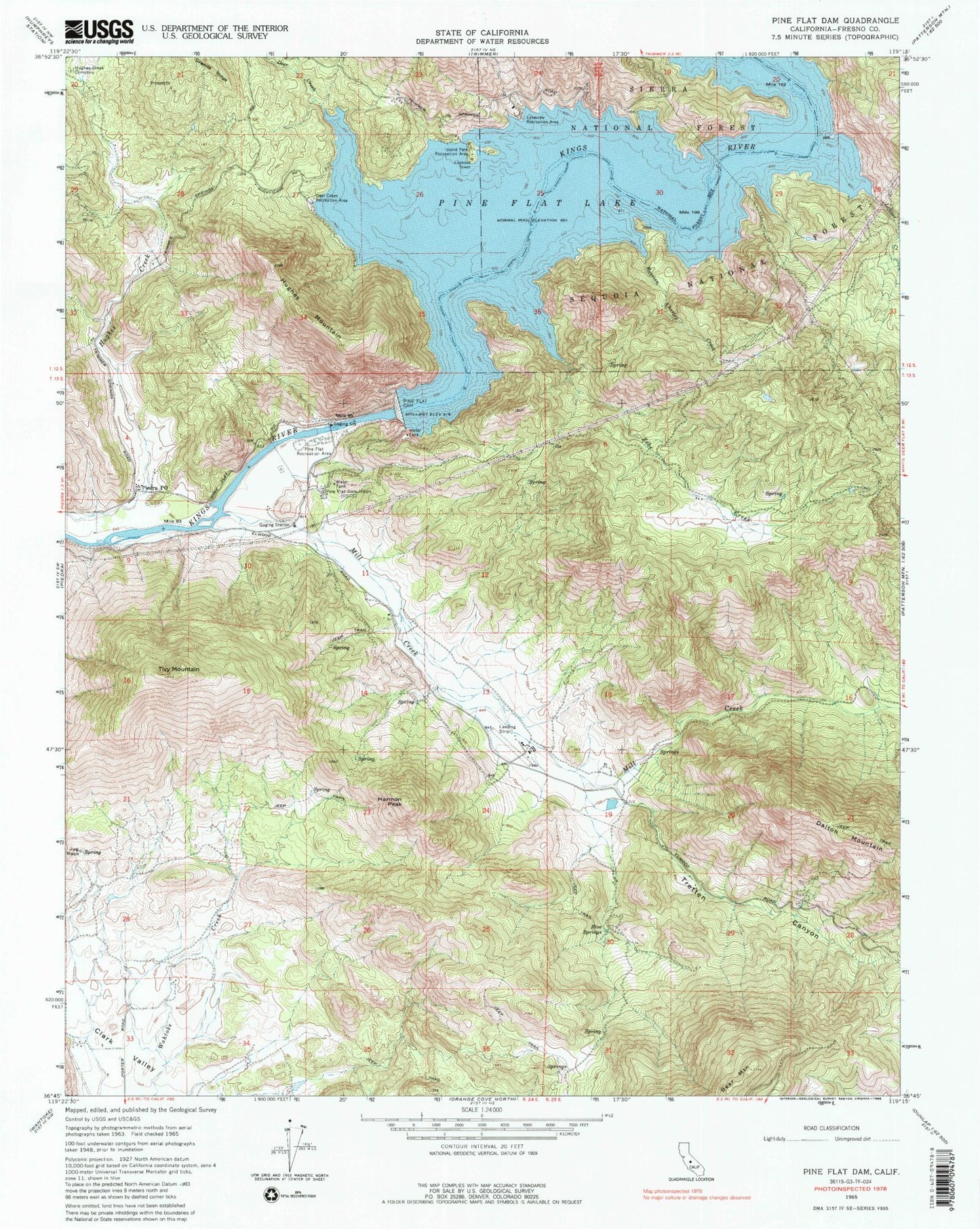
Classic USGS Pine Flat Dam California 7.5'x7.5' Topo Map
Couldn't load pickup availability
Historical USGS topographic quad map of Pine Flat Dam in the state of California. Map scale may vary for some years, but is generally around 1:24,000. Print size is approximately 24" x 27"
This quadrangle is in the following counties: Fresno.
The map contains contour lines, roads, rivers, towns, and lakes. Printed on high-quality waterproof paper with UV fade-resistant inks, and shipped rolled.
Contains the following named places: Clark Valley, Deer Creek, Deer Creek Recreation Area, Five Springs, Harmon Peak, Hughes Creek Cemetery, Hughes Mountain, Island Park Recreation Area, Jug Rock, Lakeview Recreation Area, Lefever Creek, Mill Creek, Piedra Post Office, Pine Flat, Pine Flat Dam, Pine Flat Dam Headquarters, Pine Flat Lake, Pine Flat Recreation Area, Pine Grove School, Russian Charley Creek, Sunnyside Mine, Tivy Mountain, Tretten Canyon, Wonder Valley, Wonder Valley Airport, Zebe Creek