MyTopo
Classic USGS Pine Forest Texas 7.5'x7.5' Topo Map
Couldn't load pickup availability
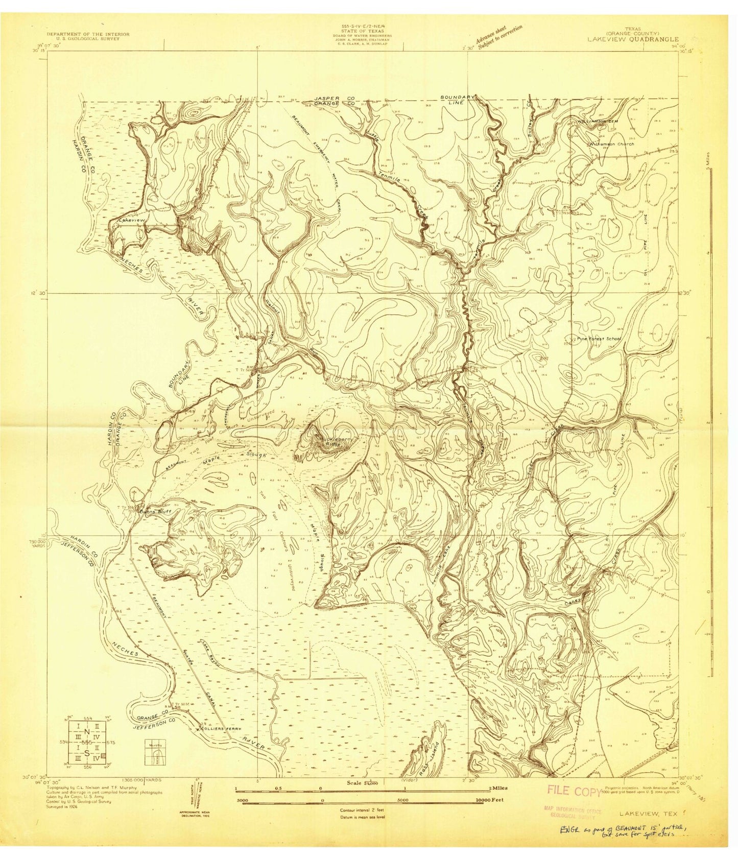
Historical USGS topographic quad map of Pine Forest in the state of Texas. Map scale may vary for some years, but is generally around 1:24,000. Print size is approximately 24" x 27"
This quadrangle is in the following counties: Hardin, Jasper, Jefferson, Orange.
The map contains contour lines, roads, rivers, towns, and lakes. Printed on high-quality waterproof paper with UV fade-resistant inks, and shipped rolled.
Contains the following named places: Banks Bayou, Beaumont Country Club, Big Thicket National Preserve, Bunns Bluff, Bunns Canal, Busley Creek, Caney Creek, City of Pine Forest, Colliers Ferry, Cooks Lake, Cornerstone Baptist Church, Echo Forest, Evangeline Drive Baptist Church, Faith Baptist Church, First Apostolic Church, First Baptist Church of Vidor, First Pentecostal Church, First Presbyterian Church of Vidor, Forest Lawn Memorial Park, Four Oaks Ranch, Grace Baptist Church, Huckleberry Ridge, Lake Bayou, Lakeview, Lakeview Church, Lakeview Estates, Lawson Crossing, Little Creek, Long Lake, Lucas Elementary School, Maple Slough, Morgan Park, Orange County Constable's Office Precinct 4, Orange County Emergency Services District 1 Station 2, Orange County Rural Fire District, Orange County Sheriff's Office - Vidor Substation, Parsonage Nw Baptist Church, Pine Forest, Pine Forest Baptist Church, Pine Forest Church, Pine Forest Elementary School, Pine Forest First Pentecostal Church, Pine Island Bayou, Restlawn Memorial Park, Sandy Lake, Scatterman Lake, Shiloh Baptist Church, Smiths Lake, Tenmile Creek, Vidor, Vidor City Hall, Vidor Division, Vidor Junior High School, Vidor North Oil Field, Vidor Police Department, Vidor Post Office, Village Creek, Walnut Run, Weiss Canal, Williamson Cemetery, Williamson Church, ZIP Code: 77662


