MyTopo
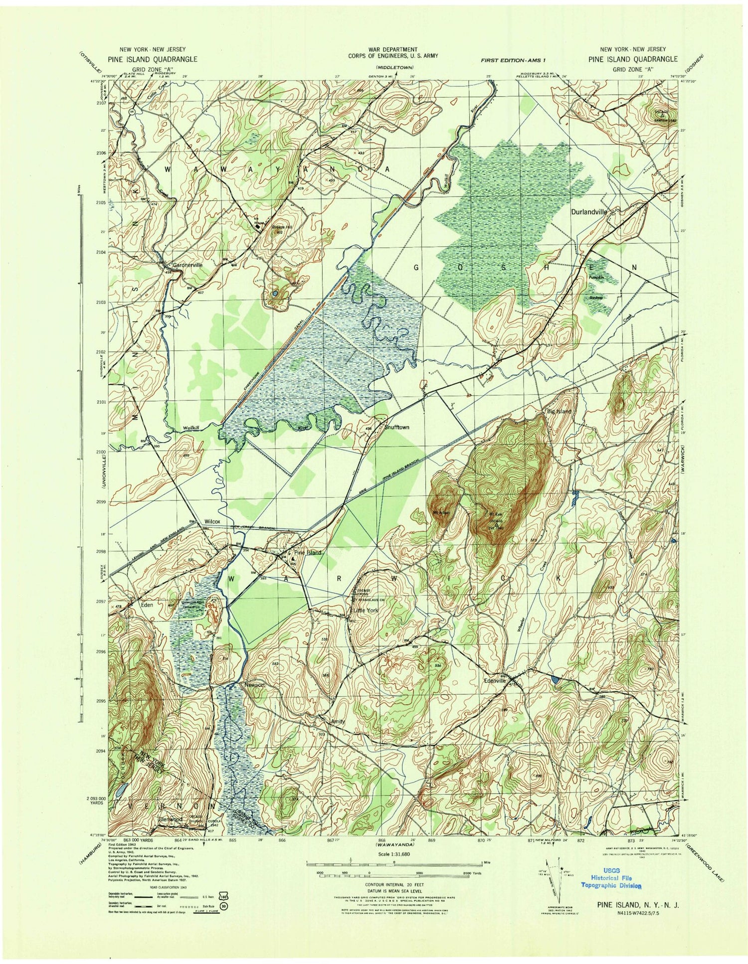
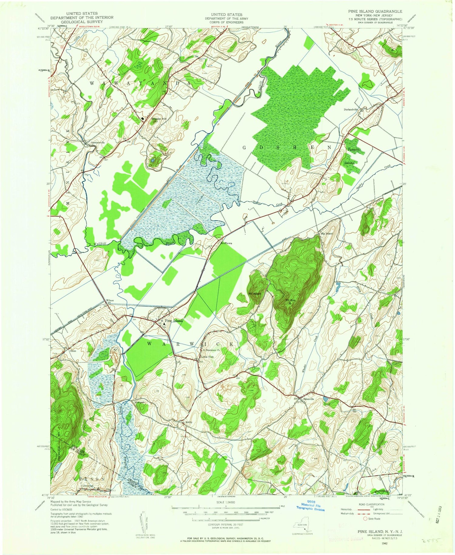
Classic USGS Pine Island New York 7.5'x7.5' Topo Map
Couldn't load pickup availability
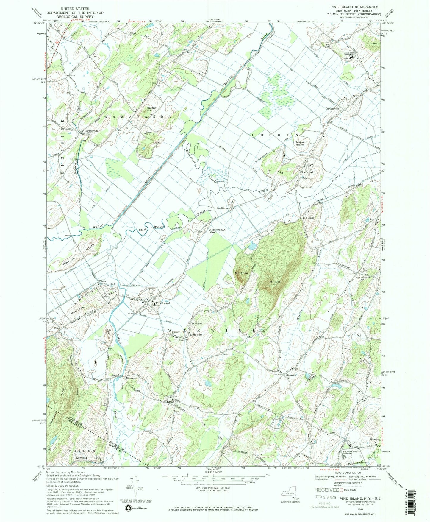
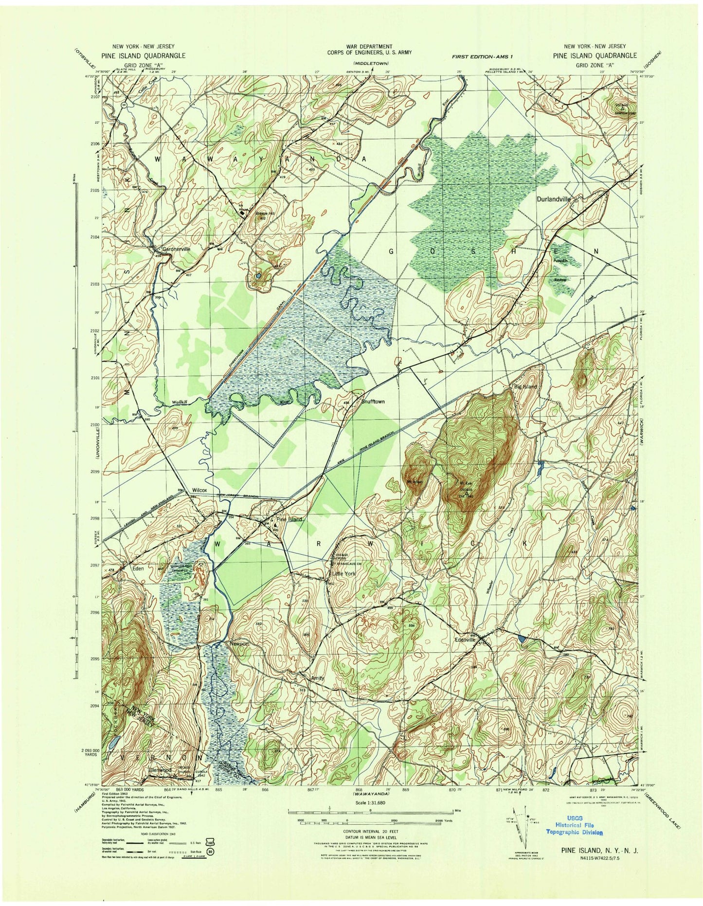
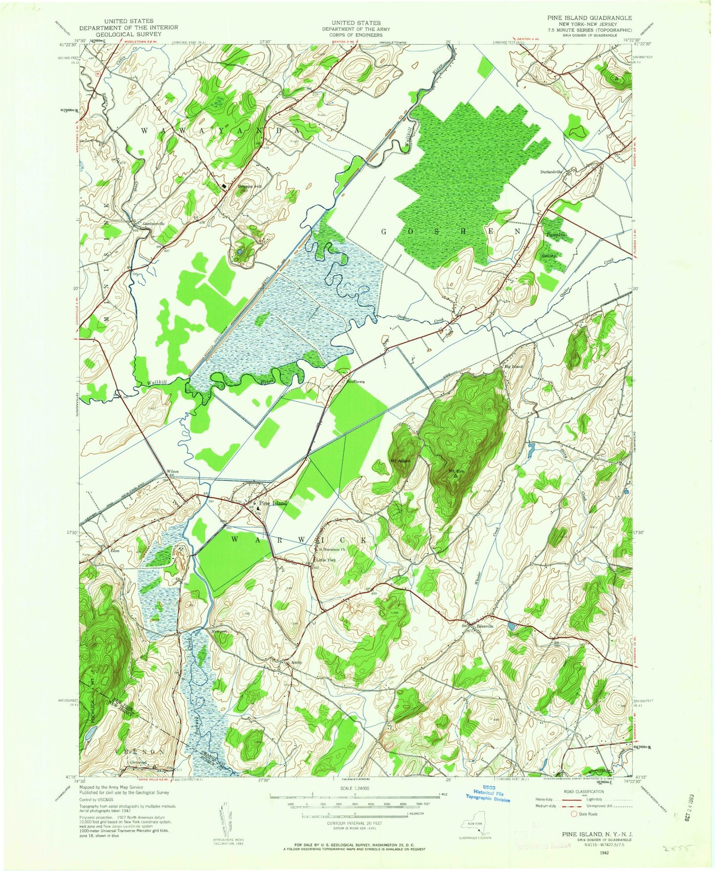
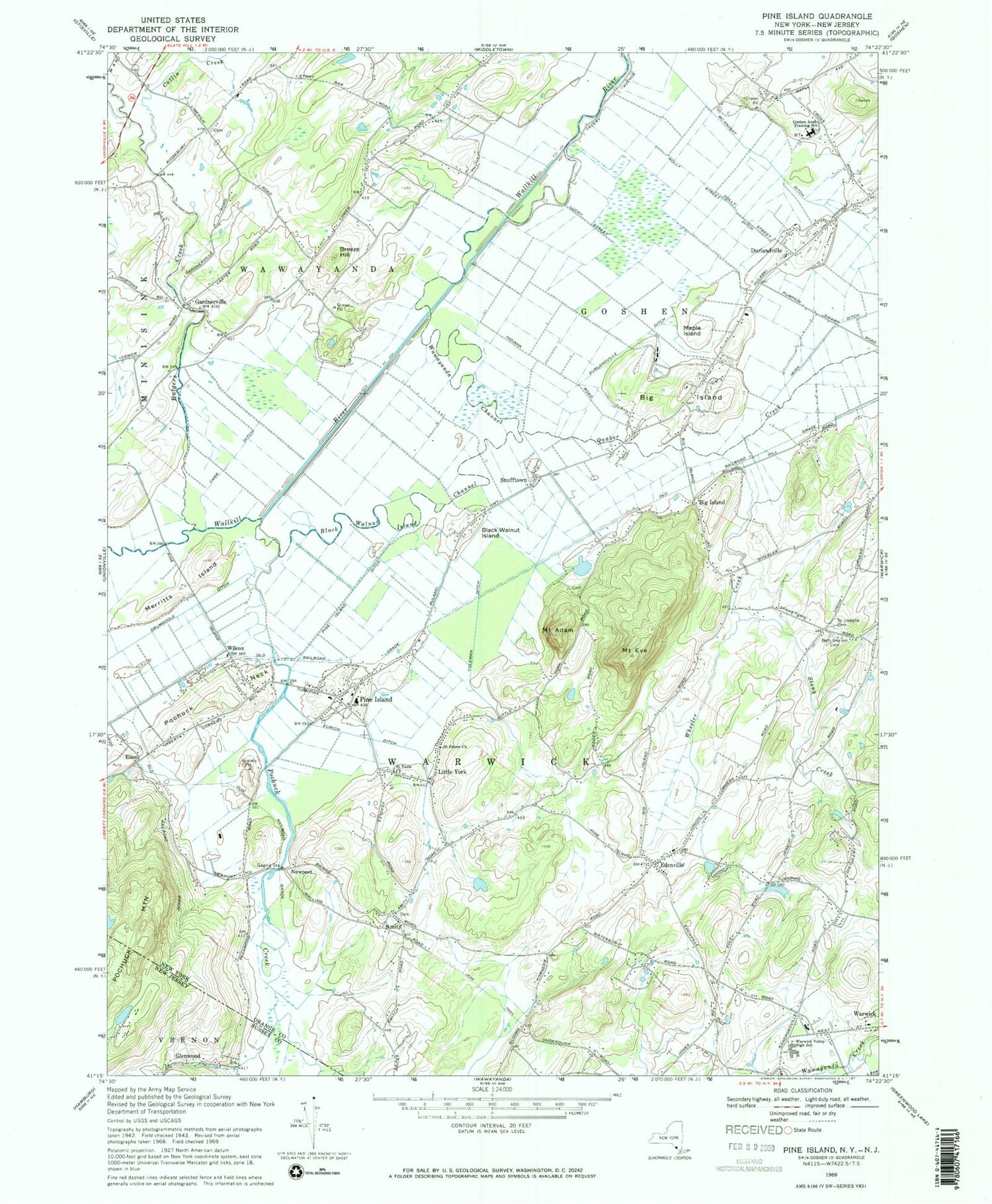
Historical USGS topographic quad map of Pine Island in the states of New York, New Jersey. Typical map scale is 1:24,000, but may vary for certain years, if available. Print size: 24" x 27"
This quadrangle is in the following counties: Orange, Sussex.
The map contains contour lines, roads, rivers, towns, and lakes. Printed on high-quality waterproof paper with UV fade-resistant inks, and shipped rolled.
Contains the following named places: Pochuck Creek, Vernon Valley, Mount Adam, Amity, Beth Shalom Cemetery, Big Island, Big Island, Black Walnut Island, Black Walnut Island Channel, Breeze Hill, Carr Ditch, Catlin Creek, Coleman Ditch, Drumgoole Ditch, Durlandville, Durlandville Ditch, Edenville, Eurich Ditch, Mount Eve, Gardnerville, Goshen Annex Training School, Holly Street Ditch, Irish Ditch, Little York, Maple Island, McKnight Ditch, Merritts Island, Pine Island, Pine Island Ditch, Pochuck Neck, Quaker Creek, Rutgers Creek, Saint Josephs Cemetery, Saint Pauls Church, Saint Peters Church, Snufftown, Stony Creek, Warwick Valley High School, Wawayanda Channel, Indigot Creek, Wheeler Creek, Wilcox, Eden, Newport, Big Island Airport (historical), Warwick Fire Department Raymond Hose Company 2, Saint Stephen Roman Catholic Church, Turtle Bay Farms, Breeze Hill Estates, Pine Island Turf Nursery, Warwick Town Park, Jessup Road Orchard, Crystal Water Farm, Warwick Valley Middle School, Saint Stephen And Saint Edward School, Points of View, Warwick Valley Winery, Scheuermann Farms, Saint Stanislaus Cemetery, Pine Island Elementary School, Pine Island Town Park, Scenic Farms Golf Course, Stewartstown Cemetery, Ford Lane Farms, Pine Island Bible Church, Pine Island Post Office, Hudson Valley United Reformed Church, Amity Presbyterian Church, Pine Island Volunteer Fire Department Pulaski Fire Company, Pine Island Volunteer Ambulance Corps, Pine Island Volunteer Fire Department Amity Fire Company, Glenwood, Louemma Lake, Denton Clark Estate Dam, Pochuck Valley Farm, Pochuck Creek, Vernon Valley, Mount Adam, Amity, Beth Shalom Cemetery, Big Island, Big Island, Black Walnut Island, Black Walnut Island Channel, Breeze Hill, Carr Ditch, Catlin Creek, Coleman Ditch, Drumgoole Ditch, Durlandville, Durlandville Ditch, Edenville, Eurich Ditch, Mount Eve, Gardnerville, Goshen Annex Training School, Holly Street Ditch, Irish Ditch, Little York, Maple Island, McKnight Ditch, Merritts Island, Pine Island, Pine Island Ditch, Pochuck Neck, Quaker Creek, Rutgers Creek, Saint Josephs Cemetery, Saint Pauls Church, Saint Peters Church, Snufftown, Stony Creek, Warwick Valley High School, Wawayanda Channel, Indigot Creek, Wheeler Creek, Wilcox, Eden, Newport, Big Island Airport (historical), Warwick Fire Department Raymond Hose Company 2, Saint Stephen Roman Catholic Church, Turtle Bay Farms, Breeze Hill Estates, Pine Island Turf Nursery, Warwick Town Park, Jessup Road Orchard, Crystal Water Farm, Warwick Valley Middle School, Saint Stephen And Saint Edward School, Points of View, Warwick Valley Winery, Scheuermann Farms, Saint Stanislaus Cemetery, Pine Island Elementary School, Pine Island Town Park, Scenic Farms Golf Course, Stewartstown Cemetery, Ford Lane Farms, Pine Island Bible Church, Pine Island Post Office, Hudson Valley United Reformed Church, Amity Presbyterian Church, Pine Island Volunteer Fire Department Pulaski Fire Company, Pine Island Volunteer Ambulance Corps, Pine Island Volunteer Fire Department Amity Fire Company, Glenwood, Louemma Lake, Denton Clark Estate Dam, Pochuck Valley Farm
