MyTopo
Classic USGS Pine Level Alabama 7.5'x7.5' Topo Map
Couldn't load pickup availability
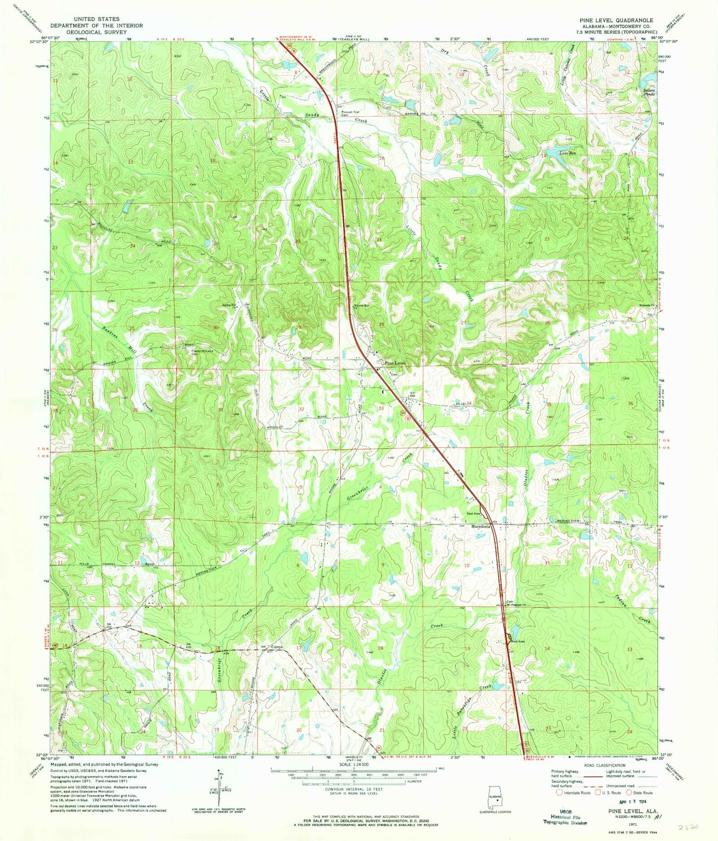
Historical USGS topographic quad map of Pine Level in the state of Alabama. Map scale may vary for some years, but is generally around 1:24,000. Print size is approximately 24" x 27"
This quadrangle is in the following counties: Montgomery.
The map contains contour lines, roads, rivers, towns, and lakes. Printed on high-quality waterproof paper with UV fade-resistant inks, and shipped rolled.
Contains the following named places: Bethesda Church, C E Sellers Number 3 Dam, C E Sellers Number 4 Dam, Currys, Frazer-McLeod Cemetery, Hills Chapel School, I D McClurkin Number 1 Dam, I D McClurkin Number One Lake, Jack Wool Dam, Lake Ben, Liberty Church, Macedonia, Macedonia Church, Mount Pleasant Church, Mount Zion Church, Pine Level, Pine Level Church, Pine Level Division, Pine Level Post Office, Rehoba Church, Rehoba School, Sand Creek Cemetery, Sellers Lake Number Four, Sellers Lake Number Three, Sellers Ponds, Spring Hill Church, Urquhart Cemetery, Warrior Hill Church, WTSU-FM (Troy)