
MyTopo
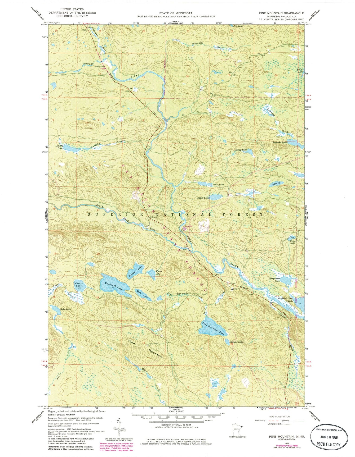
Classic USGS Pine Mountain Minnesota 7.5'x7.5' Topo Map
Couldn't load pickup availability
Historical USGS topographic quad map of Pine Mountain in the state of Minnesota. Map scale may vary for some years, but is generally around 1:24,000. Print size is approximately 24" x 27"
This quadrangle is in the following counties: Cook.
The map contains contour lines, roads, rivers, towns, and lakes. Printed on high-quality waterproof paper with UV fade-resistant inks, and shipped rolled.
Contains the following named places: Assinika Lake, Chase Lake, Circle Lake, Duke Lake, Falls Creek, Gunflint Camp, Lake Twelve, Logger Lake, Lullaby Creek, Lullaby Lake, Makada Lake, Merganser Lake, Muckwa Lake, Muma Lake, Mush Lake, Musquash Lake, Pine Mountain, Pine Mountain Creek, Pine Mountain Lake, Pistol Lake, South Brule River, Stony Lake, Swamper Creek, Timber Creek, Woodpile Creek


