MyTopo
Classic USGS Pine Valley Hardpan South Utah 7.5'x7.5' Topo Map
Regular price
$16.95
Regular price
Sale price
$16.95
Unit price
per
Couldn't load pickup availability
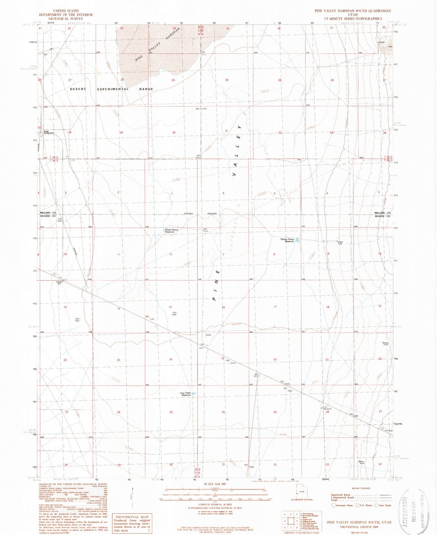
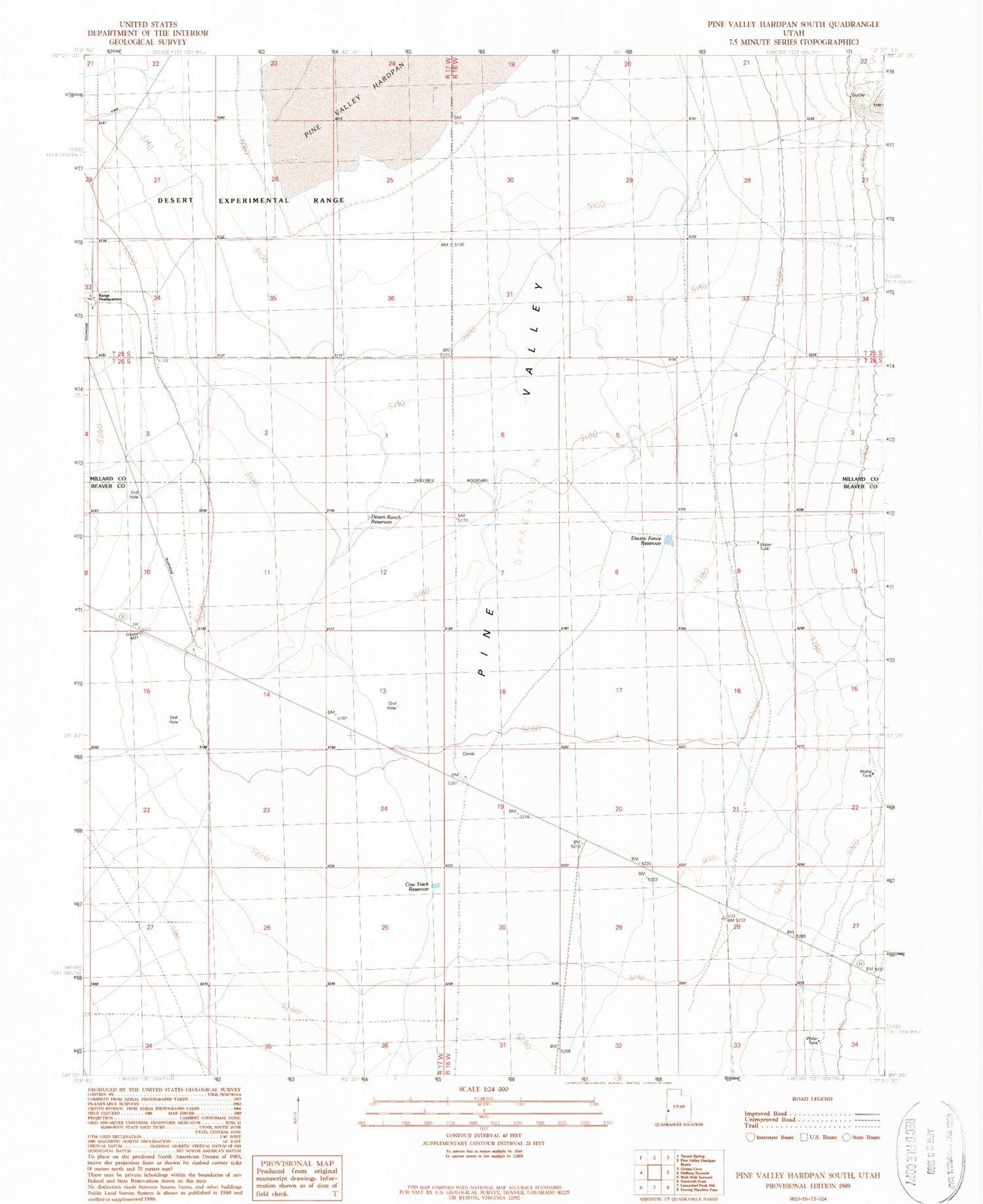
Historical USGS topographic quad map of Pine Valley Hardpan South in the state of Utah. Map scale may vary for some years, but is generally around 1:24,000. Print size is approximately 24" x 27"
This quadrangle is in the following counties: Beaver, Millard.
The map contains contour lines, roads, rivers, towns, and lakes. Printed on high-quality waterproof paper with UV fade-resistant inks, and shipped rolled.
Contains the following named places: Cow Camp Well, Cow Track Reservoir, Desert Ranch Reservoir, Desert Range Experimental Station Headquarters, Electric Fence Reservoir, Pine Valley Hardpan, Range Headquarters