MyTopo
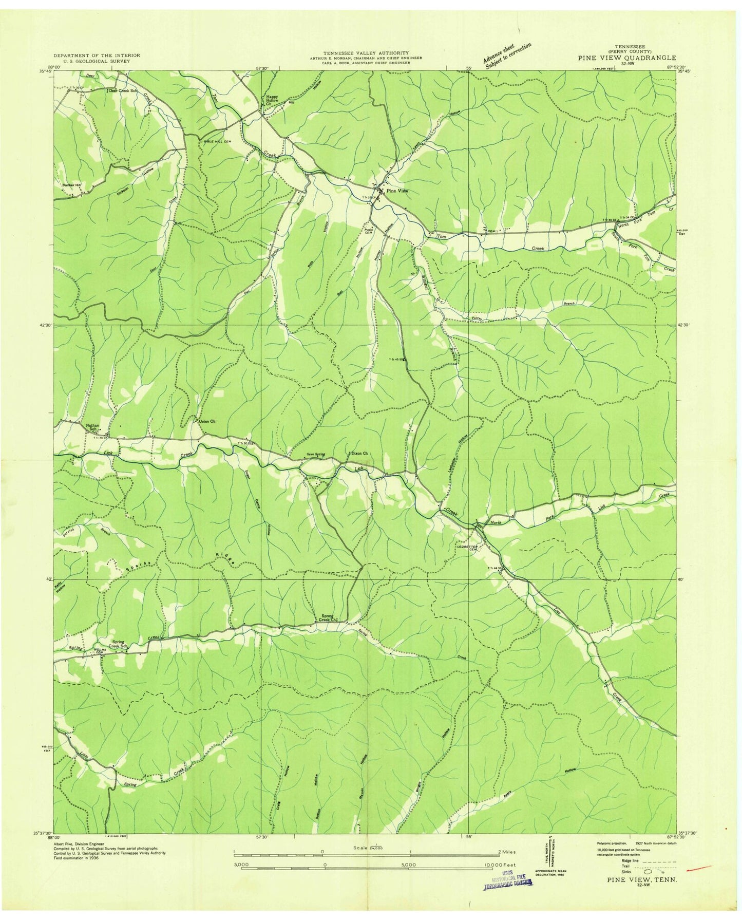
Classic USGS Pine View Tennessee 7.5'x7.5' Topo Map
Couldn't load pickup availability
Historical USGS topographic quad map of Pine View in the state of Tennessee. Typical map scale is 1:24,000, but may vary for certain years, if available. Print size: 24" x 27"
This quadrangle is in the following counties: Perry.
The map contains contour lines, roads, rivers, towns, and lakes. Printed on high-quality waterproof paper with UV fade-resistant inks, and shipped rolled.
Contains the following named places: Silvers Hollow, Smith Cemetery, Sparks Hollow, Sparks Ridge, Spring Creek, Strickland Cemetery, Strickland Hollow, Sugar Camp Hollow, Tanner Cemetery, Twilley Hollow, Union Church, Wilsdorf Hollow, Beakley Hollow, Bell Hollow, Bible Hill Cemetery, Bridge Hollow, Bunker Hill, Carlton Hollow, Cave Spring, Choate Cemetery, Choate Hollow, Clayborne Cemetery, Cotton Hollow, Daniel Cemetery, Deerlick Hollow, Dickson Hollow, Dixon Church, Forehand Hollow, Gamblin Hollow, Gean Hollow, George Hollow, Goblet Hollow, Gotthardt Hollow, Hatton Hollow, Hill Hollow, Hopkins Hollow, Horner Hollow, Horner Hollow, Horner Hollow, Hull Hollow, Ledbetter Cemetery, Ledbetter Hollow, Left Fork Horner Hollow, Lewis Hollow, Lick Creek Church, Lower Ledbetter Hollow, Madden Hollow, Marshall Hollow, McKnight Hollow, Mill Hollow, Myat Hollow, Nix Hollow, North Fork Lick Creek, North Fork Toms Creek, O'Guin Hollow, Owl Hollow, Pace Cemetery, Patrey Hollow, Pine View, Pitts Hollow, Porter Hollow, Right Fork Horner Hollow, Scary Hollow, South Fork Toms Creek, Weems Cemetery, Deer Creek School (historical), Happy Hollow Church (historical), Nathan School (historical), Owl Hollow Branch, Patrey Branch, Spring Creek Church (historical), Spring Creek School (historical), Willsdorf Branch, Pineview School (historical), Toms Creek Ford, Commissioner District 2, Pineview Volunteer Fire Department


