MyTopo
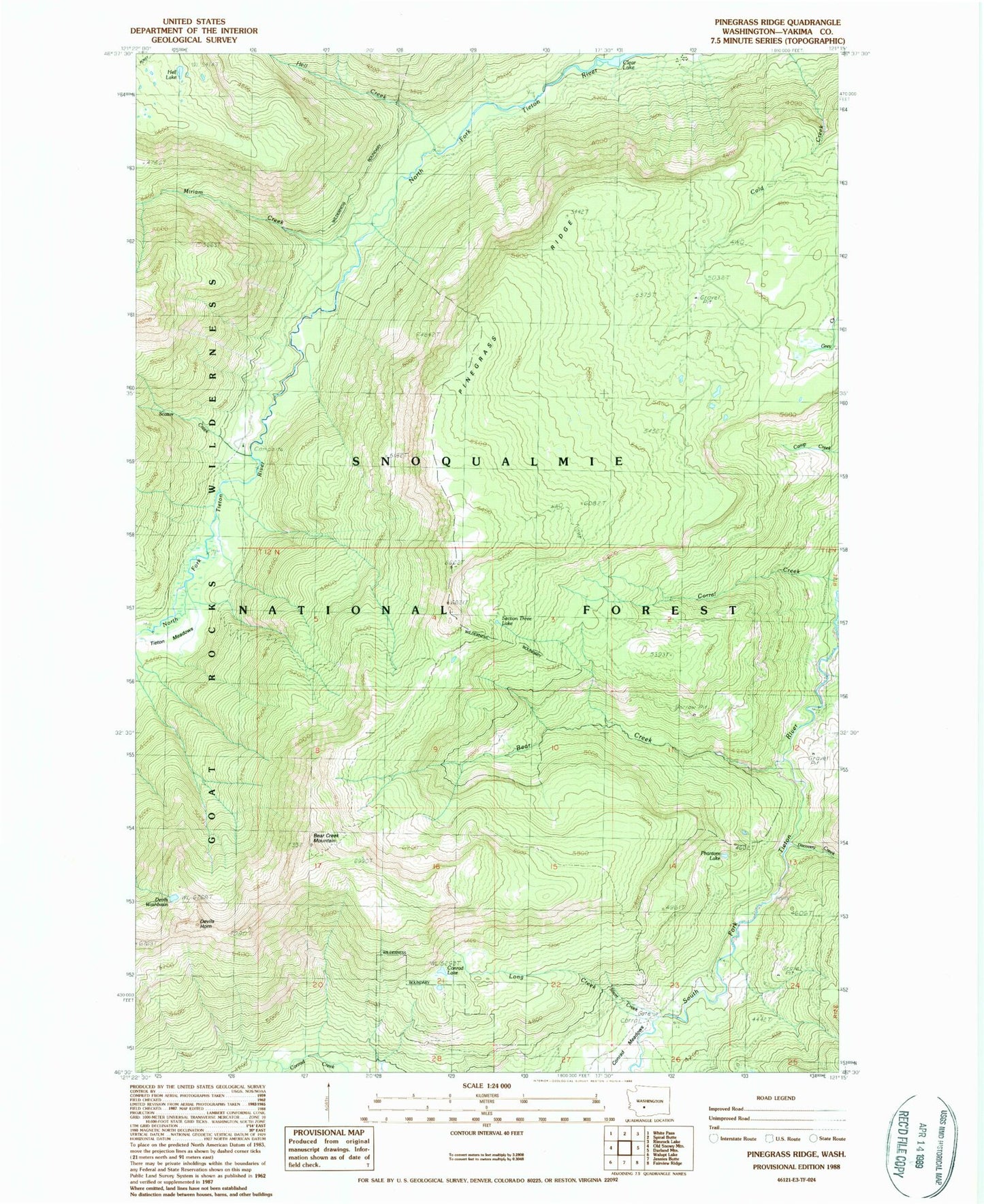
Classic USGS Pinegrass Ridge Washington 7.5'x7.5' Topo Map
Couldn't load pickup availability
Historical USGS topographic quad map of Pinegrass Ridge in the state of Washington. Typical map scale is 1:24,000, but may vary for certain years, if available. Print size: 24" x 27"
This quadrangle is in the following counties: Yakima.
The map contains contour lines, roads, rivers, towns, and lakes. Printed on high-quality waterproof paper with UV fade-resistant inks, and shipped rolled.
Contains the following named places: Bear Creek, Bear Creek Mountain, Bear Creek Mountain Trail, Conrad Lake, Conrad Meadows, Devils Horn, Devils Washbasin, Discovery Creek, Hell Creek, Hell Lake, Long Creek, Minnie Meadows Trail, Miriam Creek, North Fork Tieton Trail, Phantom Lake, Pinegrass Ridge, Scatter Creek, Section 3 Lake, Short Creek, Tieton Meadows, Tieton Meadows Trail, North Fork Trailhead, Clear Lake Guard Station