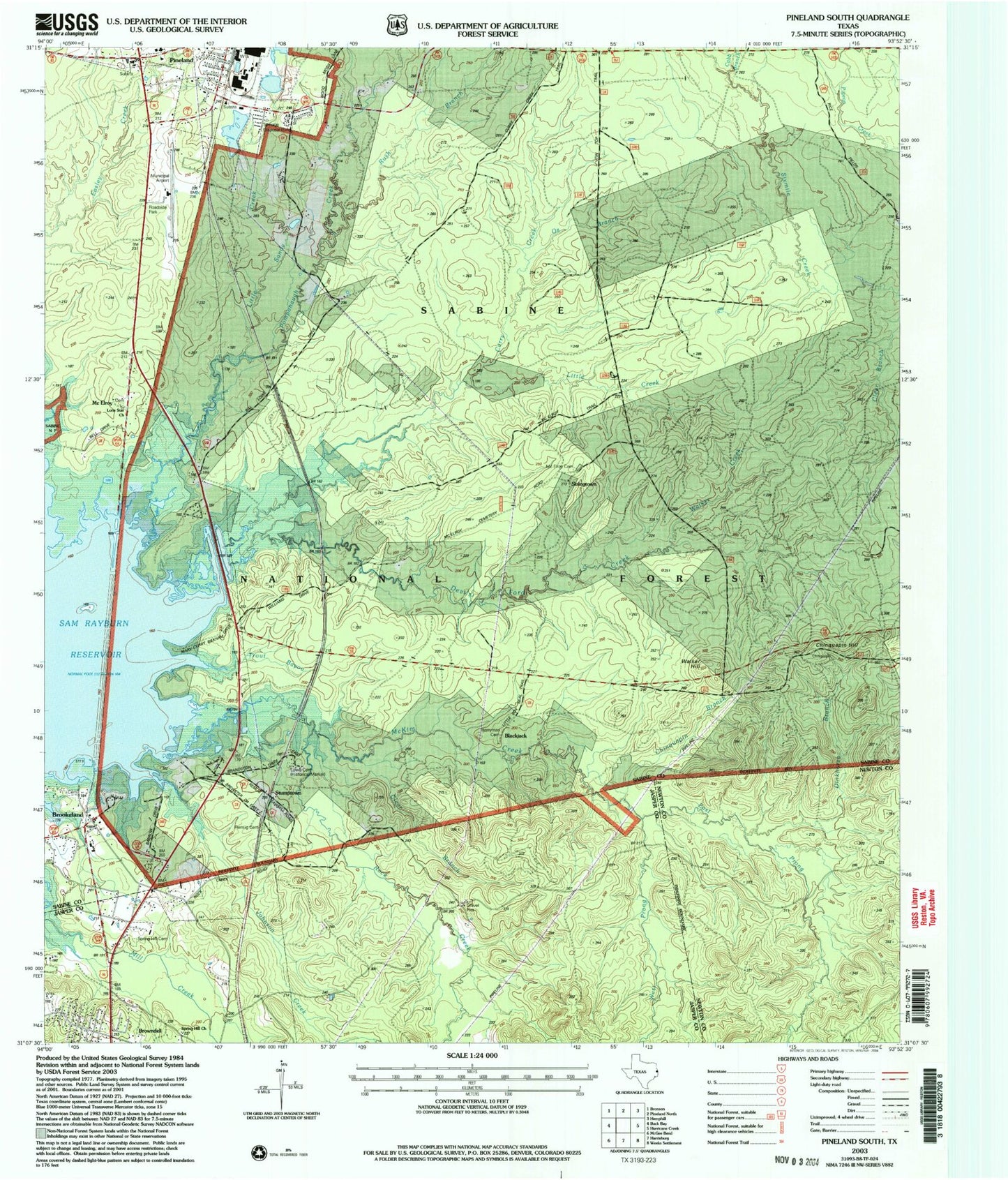
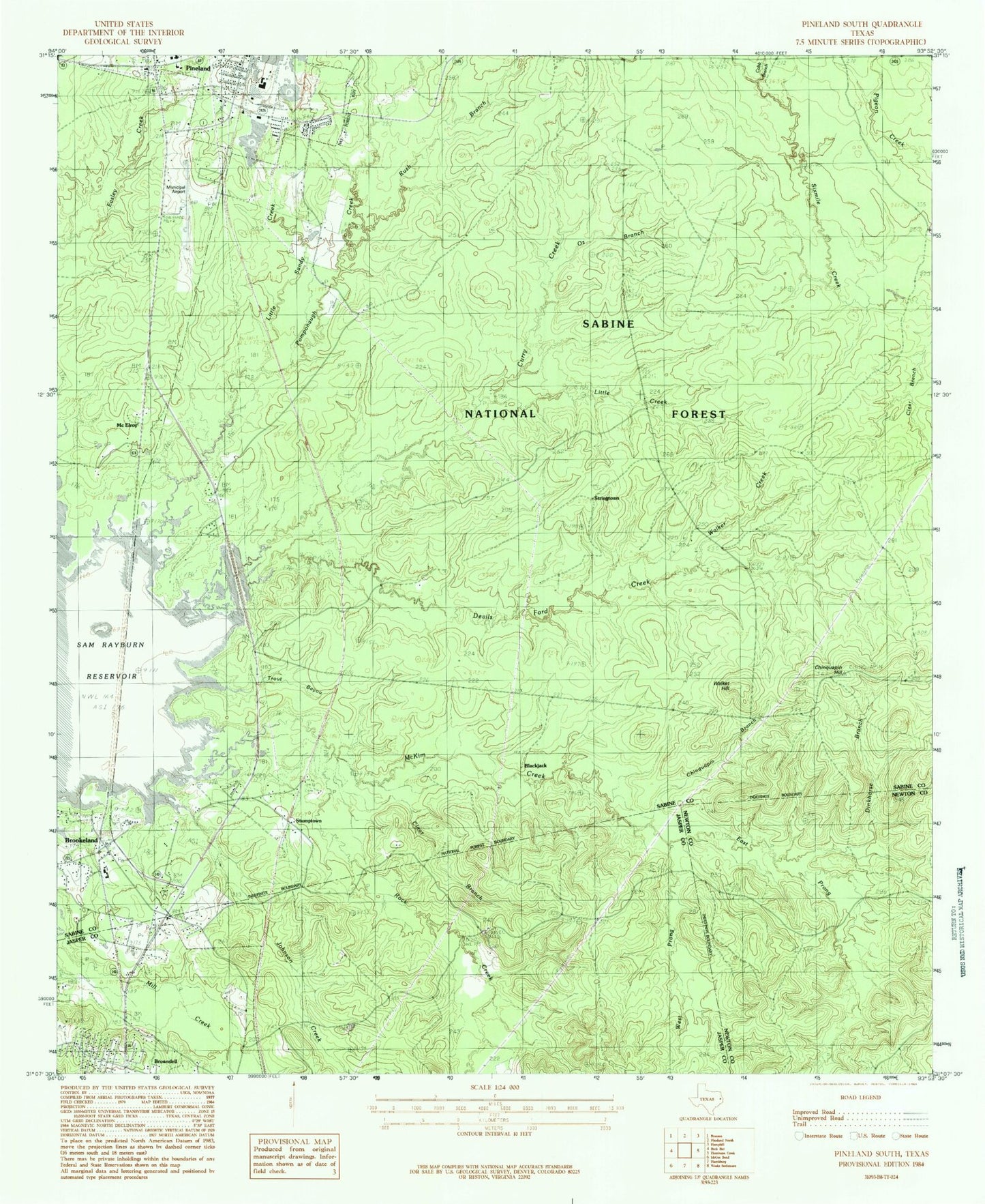
MyTopo
Classic USGS Pineland South Texas 7.5'x7.5' Topo Map
Couldn't load pickup availability
Historical USGS topographic quad map of Pineland South in the state of Texas. Typical map scale is 1:24,000, but may vary for certain years, if available. Print size: 24" x 27"
This quadrangle is in the following counties: Jasper, Newton, Sabine.
The map contains contour lines, roads, rivers, towns, and lakes. Printed on high-quality waterproof paper with UV fade-resistant inks, and shipped rolled.
Contains the following named places: Berryman Cemetery, Blackjack, Chinquapin Branch, Chinquapin Hill, Clear Branch, Clear Branch, Cobb Branch, Curry Creek, Devils Ford Creek, Dinkhorse Branch, East Prong McKim Creek, Johnson Creek, Little Creek, Little Sandy Creek, Lone Star Church, McElroy, McElroy Cemetery, Oz Branch, Pineland, Remlig Cemetery, Rock Creek, Rush Branch, Spring Hill Cemetery, Spring Hill Church, Stringtown, Stumptown, Walker Creek, Walker Hill, West Prong McKim Creek, Brookeland, Sixmile Creek, Lowe Cemetery, Pineland Municipal Airport, KWYX-FM (Jasper), Temple-Eastex Dam D, Temple-Eastex Lake D, City of Browndell, City of Pineland, Brookeland Cemetery, Goodwill Cemetery, Johnson Family Cemetery, Lone Star Cemetery, Lowe Cemetery, Pineland Volunteer Fire Department, Stat Care Emergency Medical Service, Pineland Police Department, Pineland City Hall, Brookeland Post Office