MyTopo
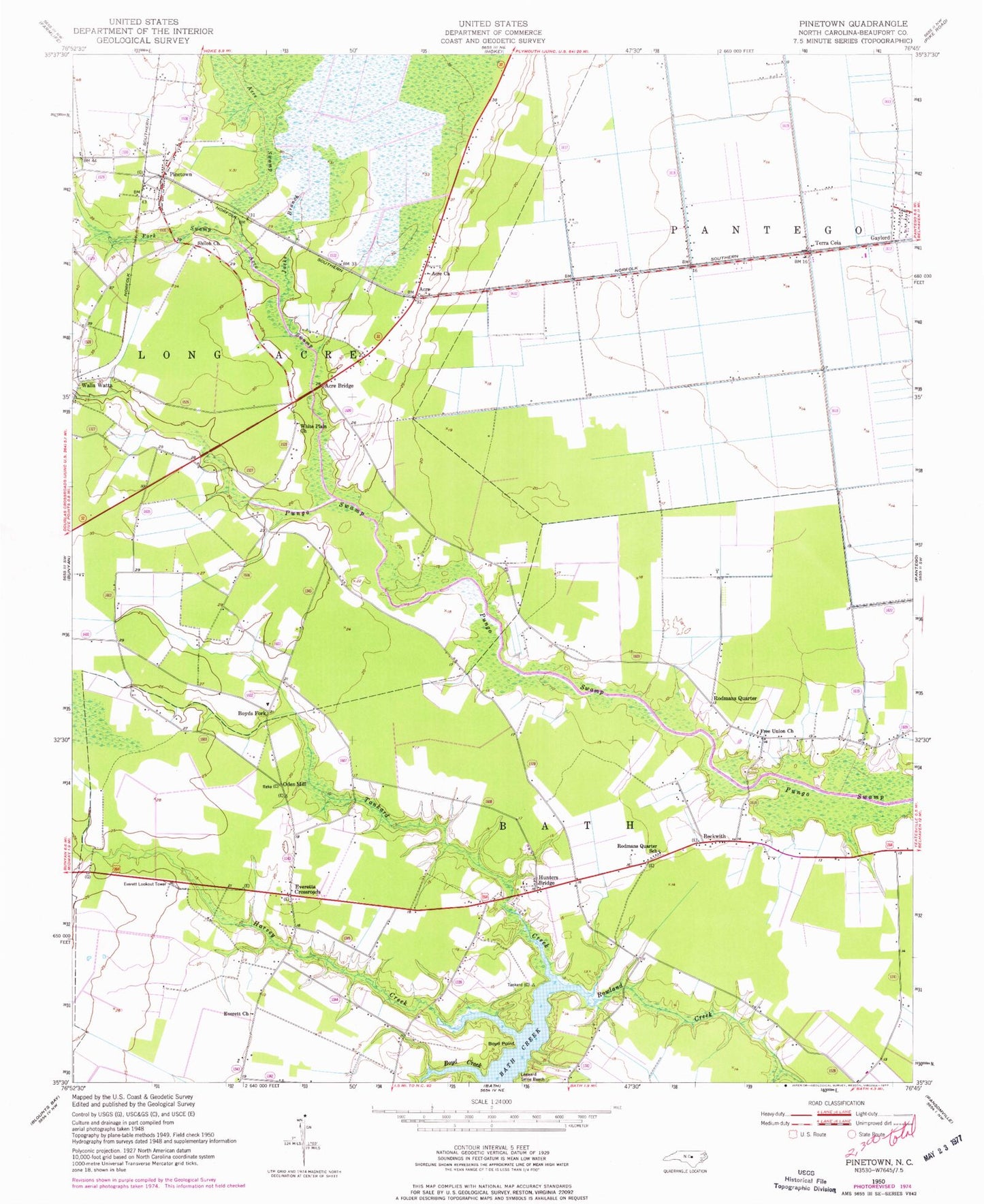
Classic USGS Pinetown North Carolina 7.5'x7.5' Topo Map
Couldn't load pickup availability
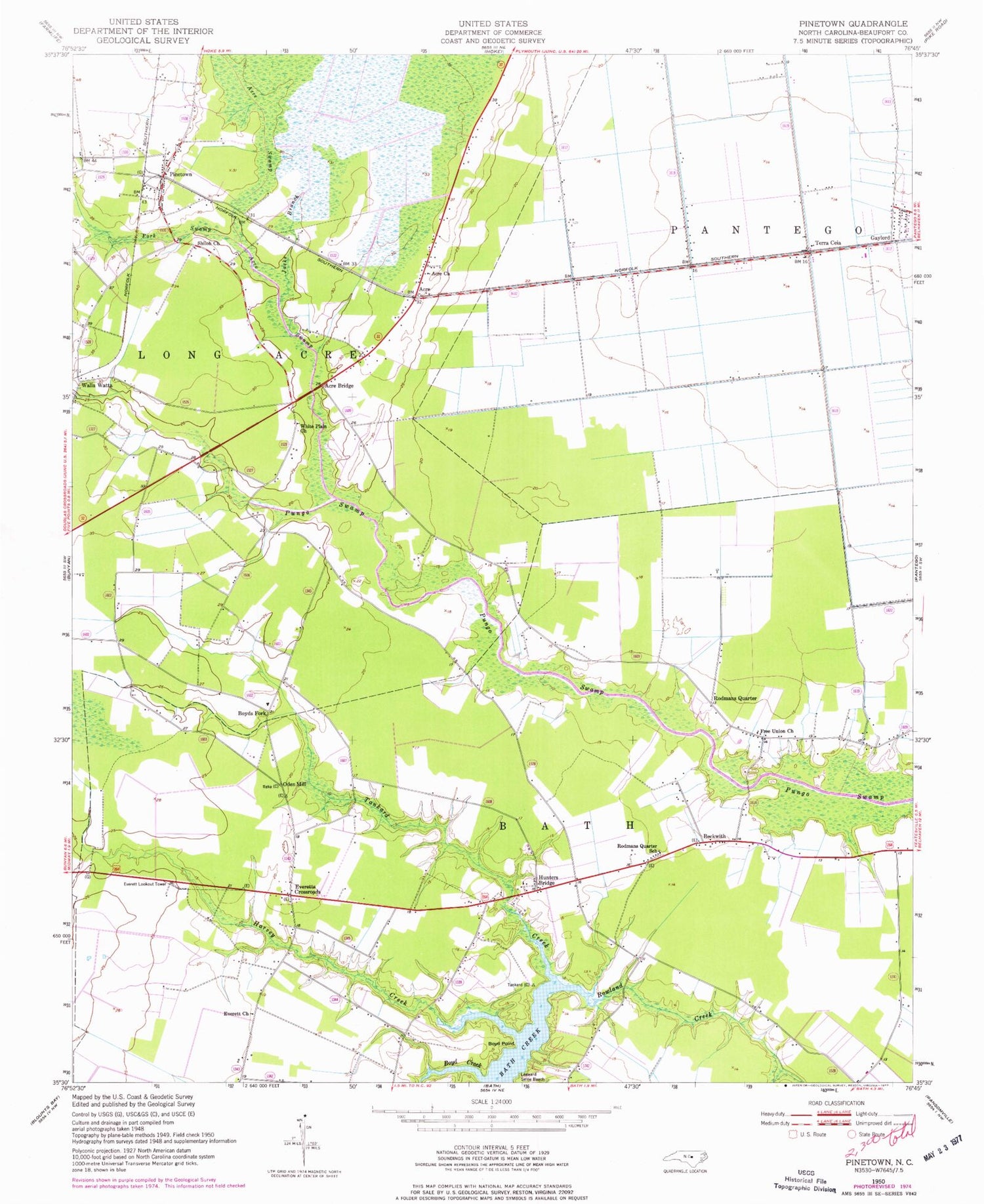
Historical USGS topographic quad map of Pinetown in the state of North Carolina. Map scale may vary for some years, but is generally around 1:24,000. Print size is approximately 24" x 27"
This quadrangle is in the following counties: Beaufort.
The map contains contour lines, roads, rivers, towns, and lakes. Printed on high-quality waterproof paper with UV fade-resistant inks, and shipped rolled.
Contains the following named places: Acre, Acre Bridge, Acre Church, Acre Swamp, Acresville Post Office, Beckwith, Boyd Creek, Boyd Point, Boyds Fork, Everett Church, Everett Lookout Tower, Everetts Crossroads, Fork Swamp, Free Union Church, Harvey Creek, Hunters Bridge, Jacks Branch, Keech Airport, Leeward Seine Beach, Oden Mill, Pampticough Precinct, Pinetown, Pinetown Census Designated Place, Pinetown Elementary School, Pinetown Post Office, Pinetown Rescue and Emergency Medical Services, Pinetown Volunteer Fire Department Station 1, Respess Field, Rodmans Quarter, Rodmans Quarter School, Rowland Creek, Shiloh Church, Tankard Creek, Terra Ceia, Walla Watta, White Plain Church


