MyTopo
Classic USGS Pineville Kentucky 7.5'x7.5' Topo Map
Couldn't load pickup availability
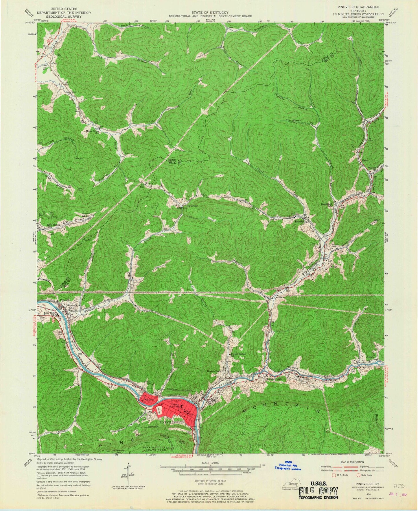
Historical USGS topographic quad map of Pineville in the state of Kentucky. Map scale may vary for some years, but is generally around 1:24,000. Print size is approximately 24" x 27"
This quadrangle is in the following counties: Bell, Knox.
The map contains contour lines, roads, rivers, towns, and lakes. Printed on high-quality waterproof paper with UV fade-resistant inks, and shipped rolled.
Contains the following named places: Arjay, Arjay Census Designated Place, Arjay Coal Camp, Arjay Mine, Arjay Post Office, Arjay Railroad Station, Bell County Emergency Medical Services, Bell County Sheriff's Department, Bell County Volunteer Fire Department Arjay Station, Birchfield Railroad Station, Bird Branch Lookout Tower, Black Bear Mine, Black Raven Mine, Blanche, Blue Gem Mine, Buffalo Branch, Camp Buckner, Caney Creek, Cary, Castro Railroad Station, Chain Rock, City of Pineville, Coleman Mine, Dewitt Post Office, Dorton Branch, Dorton Branch School, Dorton Hill, Dry Hill, Elliots Ford, Elliott Branch, Elys Branch School, Fourmile, Fourmile Creek, Fourmile Post Office, Fourmile Railroad Station, Fowler Railroad Station, Fox Ridge Railroad Station, Gambrel Hollow, Gleason Railroad Station, Glendon Coal Camp, Glendon Mine, Gregory Branch, Grubb Branch, Henderson Cemetery, Highland Mine, Howard Branch, Ivy Grove, Jenson, Jenson Railroad Station, Keenox, Kingling Railroad Station, Lark Railroad Station, Left Fork Caney Creek, Left Fork Moore Creek, Left Fork Straight Creek, Levi Branch, Liberty Cemetery, Limestone Gap, Little Creek, Logan Switch Station, Lone Jack School, Long Branch, Melcom Railroad Station, Mile Branch, Mill Branch, Mocking Bird Branch, Moore Creek School, Mose Messer Branch, Murn Railroad Station, Nation and Iron Company Mine, Nussbaum Railroad Station, Pineville, Pineville City Fire Department, Pineville Community Hospital, Pineville Division, Pineville Police Department, Pineville Post Office, Ramona Railroad Station, Red Hill Cemetery, Rella, Rella Railroad Station, Right Fork Caney Creek, Rim Camp, Rim Railroad Station, Robert Gregory Mine, Simmons Branch, Sims Fork, Stewart Branch, Stilson Railroad Station, Straight Creek, Straight Creek Railroad Station, Thorpe Railroad Station, Toms Cliffs, Turkey Creek, Union Mission Church, Vaughn Branch, Wallsend, Wallsend Cemetery, Wallsend Post Office, Wallsend Railroad Station, Walnut Gap, WANO-AM (Pineville), Wenrick Railroad Station, Wieser Branch, Woolum Branch, WZKO-FM (Pineville), ZIP Code: 40939


