MyTopo
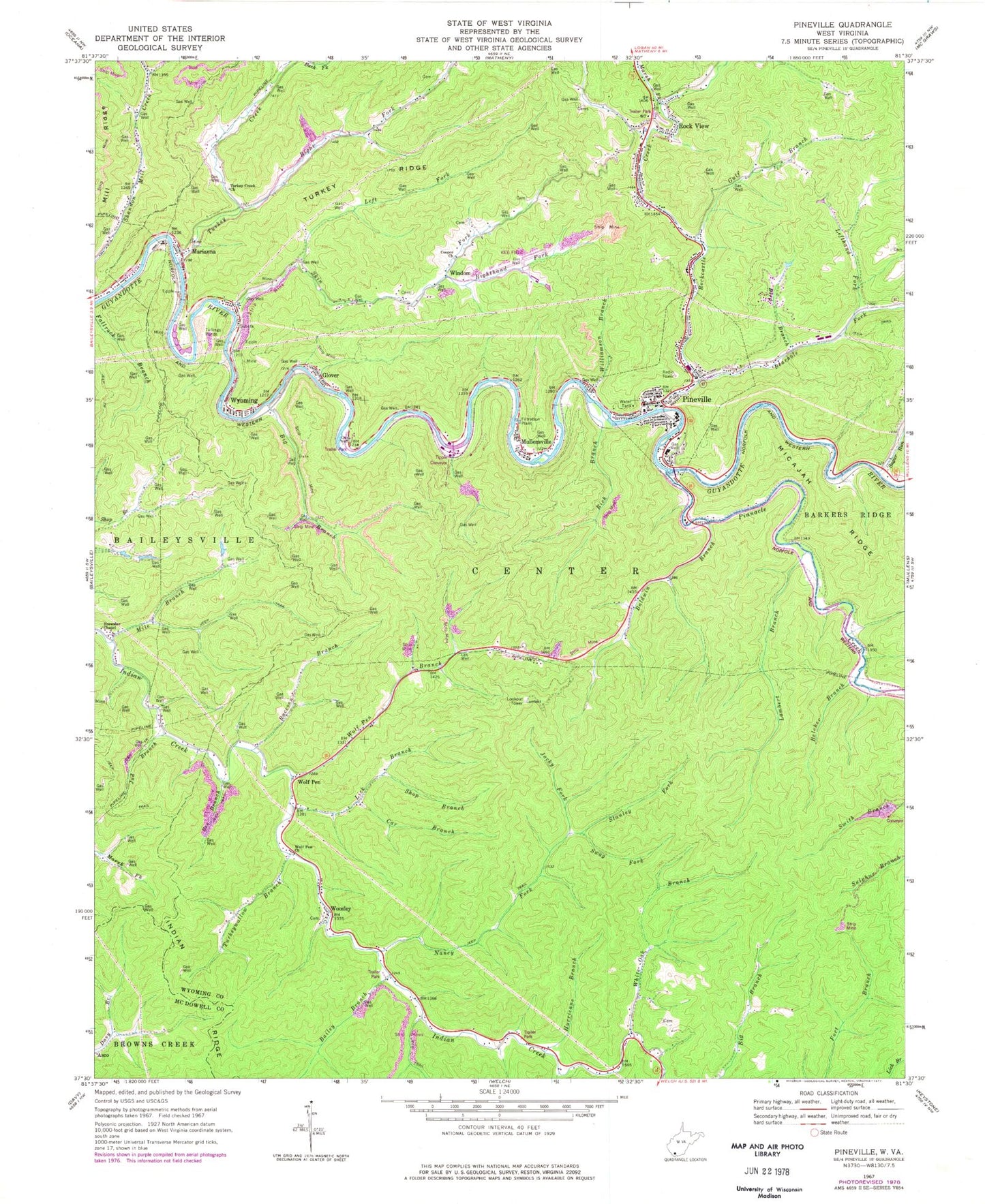
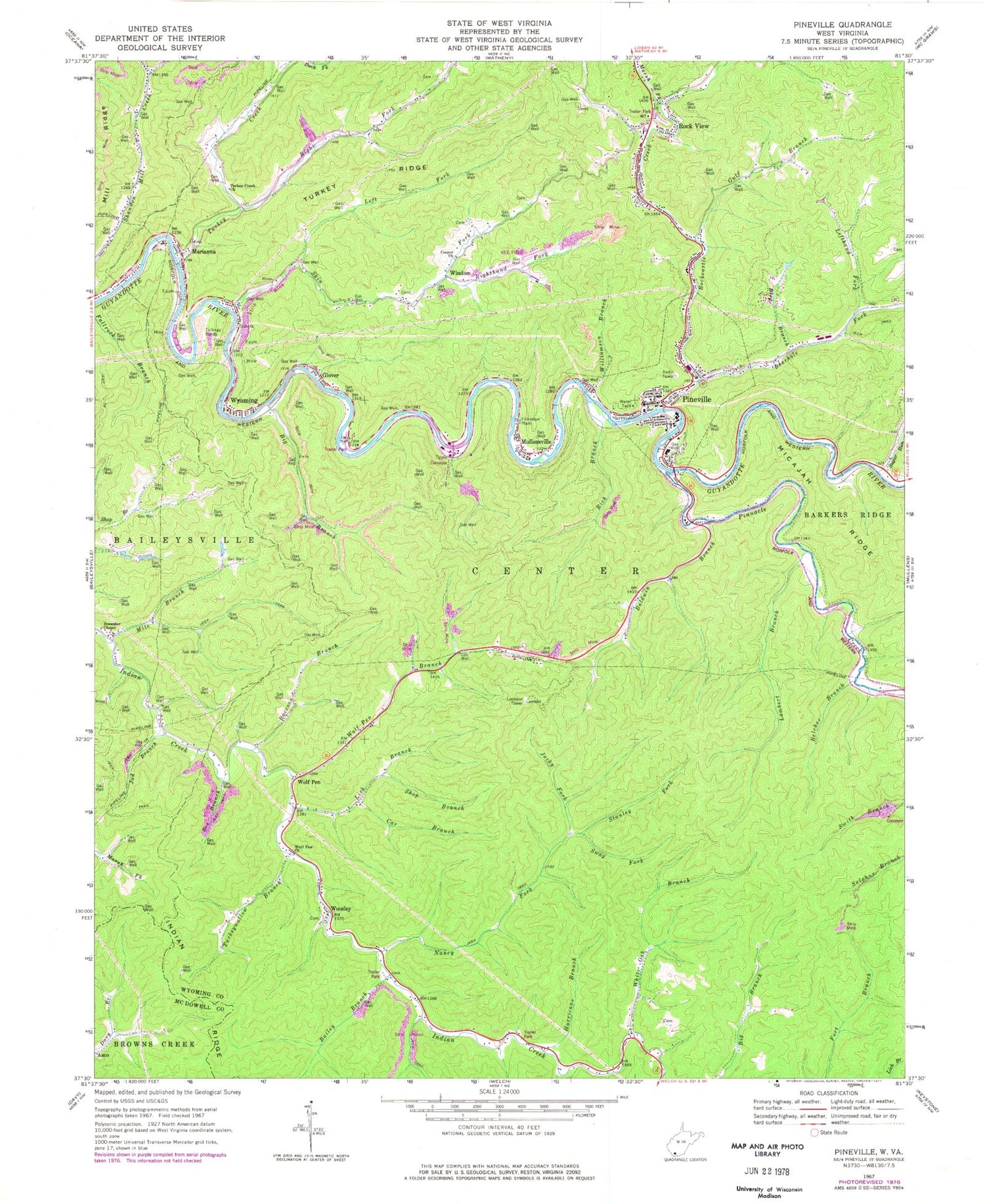
Classic USGS Pineville West Virginia 7.5'x7.5' Topo Map
Couldn't load pickup availability
Historical USGS topographic quad map of Pineville in the state of West Virginia. Map scale may vary for some years, but is generally around 1:24,000. Print size is approximately 24" x 27"
This quadrangle is in the following counties: McDowell, Wyoming.
The map contains contour lines, roads, rivers, towns, and lakes. Printed on high-quality waterproof paper with UV fade-resistant inks, and shipped rolled.
Contains the following named places: Bailey Branch, Baldwin Branch, Bearhole Fork, Bee Branch, Belcher Branch, Big Branch, Bird Branch, Brewster Chapel, Car Branch, Coon Fork, Cooper Church, District 2, Glover, Gulf Branch, Holy Cross Catholic Church, Hurricane Branch, Jacky Fork, Jud Branch, Kee Field, Keppler Mine Impoundment, Lambert Branch, Lambert Knob Lookout Tower, Left Fork Skin Fork, Lefthand Fork Bearhole Fork, Lick Branch, Lt. James L Smith Memorial Bridge, Marianna, Marsh Fork, Mile Branch, Mill Ridge, Mullensville, Nancy Fork, Number 50 Earthfill Impoundment, Pineville, Pineville Baptist Church, Pineville Elementary School, Pineville High School, Pineville Middle School, Pineville Police Department, Pineville Post Office, Pineville Public Library, Pineville Volunteer Fire Department, Pinnacle Creek, Pinnacle Creek Refuse Bank Dam, Raccoon Branch, Refuse Dam and Impoundment Number One, Rich Branch, Right Fork Turkey Creek, Righthand Fork Skin Fork, Rock View, Rockcastle Creek, Shop Branch, Skin Fork, Spence Fork, Stanley Fork, Stat Emergency Medical Service, Sugar Run, Swag Fork, Swope Farm Airport, Town of Pineville, Turkey Creek, Turkey Creek Church, Turkey Ridge, Turkeywallow Branch, White Oak Branch, Williamson Branch, Windom, Wolf Pen, Wolf Pen Branch, Wolf Pen Church, Wolf Pen Post Office, Woosley, WWYO-AM (Pineville), Wyoming, Wyoming County, Wyoming County Career and Technical Center, Wyoming County Courthouse, Wyoming County Sheriff's Office, Wyoming Post Office, ZIP Codes: 24818, 24874, 24898


