MyTopo
Classic USGS Pinewood South Carolina 7.5'x7.5' Topo Map
Couldn't load pickup availability
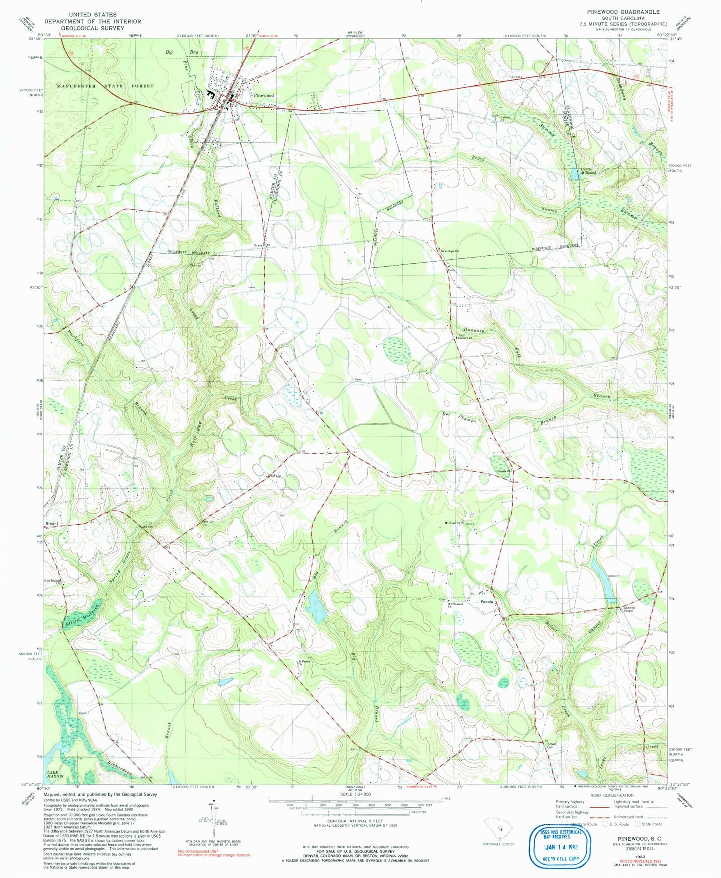
Historical USGS topographic quad map of Pinewood in the state of South Carolina. Map scale may vary for some years, but is generally around 1:24,000. Print size is approximately 24" x 27"
This quadrangle is in the following counties: Clarendon, Sumter.
The map contains contour lines, roads, rivers, towns, and lakes. Printed on high-quality waterproof paper with UV fade-resistant inks, and shipped rolled.
Contains the following named places: Andrews Chapel, Antioch Church, Bacon Hill Church, Bacon Hill School, Ballard Creek, Belser Creek, Big New Hope Church, Brown Cemetery, Brown Chapel Union Methodist Episcopal Church, Calvary Cemetery, Calvary Church, Calvary School, Chapel Creek, Clarendon County Fire Department Station 14 Panola, Clarendon Fire Department Station 14, Curtis Millpond, Des Champs Branch, Duckford Branch, Elliott Millpond, Fox Tindal Pond, G Tindal Pond, George Tindal Pond Dam D-3496, Half Way Creek, Hodges Corner, Manchester School, Mount Hope Church, Mount Pleasant Church, New Branch Church, New Hope Church, New Hope School, New Panola School, Panola, Panole School, Paxville Division, Pine Tree Creek, Pinewood, Pinewood Post Office, Pisgah Church, Richardson Branch, Richardson Cemetery, Rockland School, Rockmart School, Saint James Church, Saint Peters Church, Saint Peters School, Sigmon Pond, South Carolina Noname 14002 D-3498 Dam, South Carolina Noname 14003 D-3497 Dam, South Carolina Noname 14008 D-3495 Dam, Spring Grove Church, Spring Grove School, Sumter Fire Department Pinewood Station 2, Taylor Branch, Thomas Chapel, Town of Pinewood, Wells School, ZIP Code: 29125